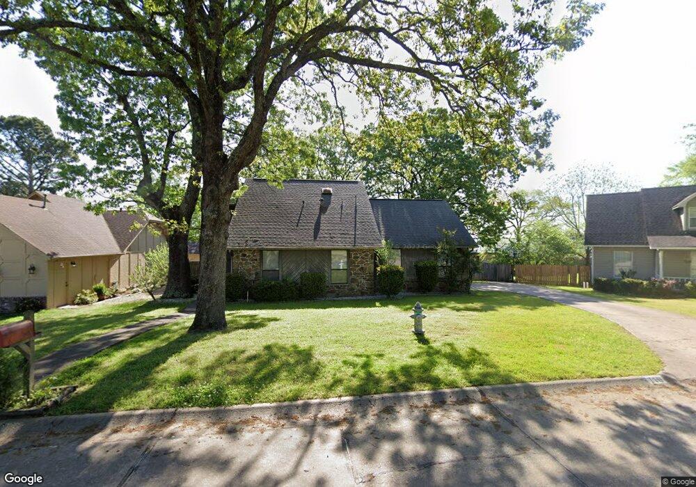
110 Tiffany Cir Sherwood, AR 72120
Estimated Value: $190,000 - $228,953
--
Bed
2
Baths
1,784
Sq Ft
$118/Sq Ft
Est. Value
About This Home
This home is located at 110 Tiffany Cir, Sherwood, AR 72120 and is currently estimated at $210,488, approximately $117 per square foot. 110 Tiffany Cir is a home located in Pulaski County with nearby schools including Sylvan Hills Elementary School, Sylvan Hills Middle School, and Sylvan Hills High School.
Ownership History
Date
Name
Owned For
Owner Type
Purchase Details
Closed on
Oct 10, 2005
Sold by
Parham Jon C and Parham Susan W
Bought by
Henson Brown Damita
Current Estimated Value
Home Financials for this Owner
Home Financials are based on the most recent Mortgage that was taken out on this home.
Original Mortgage
$125,000
Interest Rate
5.65%
Mortgage Type
Purchase Money Mortgage
Purchase Details
Closed on
May 14, 1999
Sold by
Breedlove Charles Ray and Breedlove Lisa
Bought by
Parham Jon C and Parham Susan W
Home Financials for this Owner
Home Financials are based on the most recent Mortgage that was taken out on this home.
Original Mortgage
$70,000
Interest Rate
6.54%
Purchase Details
Closed on
Nov 18, 1997
Sold by
Breedlove Jacqueline A
Bought by
Breedlove Charles Ray
Create a Home Valuation Report for This Property
The Home Valuation Report is an in-depth analysis detailing your home's value as well as a comparison with similar homes in the area
Home Values in the Area
Average Home Value in this Area
Purchase History
| Date | Buyer | Sale Price | Title Company |
|---|---|---|---|
| Henson Brown Damita | $125,000 | Professional Land Title Comp | |
| Parham Jon C | $95,000 | -- | |
| Breedlove Charles Ray | -- | -- | |
| Breedlove Charles Ray | -- | -- |
Source: Public Records
Mortgage History
| Date | Status | Borrower | Loan Amount |
|---|---|---|---|
| Closed | Henson Brown Damita | $125,000 | |
| Previous Owner | Parham Jon C | $70,000 |
Source: Public Records
Tax History Compared to Growth
Tax History
| Year | Tax Paid | Tax Assessment Tax Assessment Total Assessment is a certain percentage of the fair market value that is determined by local assessors to be the total taxable value of land and additions on the property. | Land | Improvement |
|---|---|---|---|---|
| 2025 | $1,883 | $39,076 | $6,200 | $32,876 |
| 2024 | $1,726 | $39,076 | $6,200 | $32,876 |
| 2023 | $1,726 | $39,076 | $6,200 | $32,876 |
| 2022 | $1,847 | $39,076 | $6,200 | $32,876 |
| 2021 | $1,719 | $30,110 | $4,800 | $25,310 |
| 2020 | $1,336 | $30,110 | $4,800 | $25,310 |
| 2019 | $1,286 | $30,110 | $4,800 | $25,310 |
| 2018 | $1,245 | $30,110 | $4,800 | $25,310 |
| 2017 | $1,149 | $30,110 | $4,800 | $25,310 |
| 2016 | $1,321 | $25,350 | $5,600 | $19,750 |
| 2015 | $1,288 | $25,350 | $5,600 | $19,750 |
| 2014 | $1,288 | $25,350 | $5,600 | $19,750 |
Source: Public Records
Map
Nearby Homes
- 00 E Kiehl Ave
- 00 Highway 107
- 104 Mayfair Cove
- 208 E Kiehl Ave Unit out parcel
- 135 W Lee Ave
- 8109 Oak Ridge Rd
- 2410 Crown Ct
- 8222 Mark Ave
- 4690 Hollyridge Cove
- 59 Wesley Dr
- 8100 Coleridge Dr
- 125 Almond Cove
- 7909 Coleridge Dr
- 7901 Coleridge Dr
- 3073 Woodruff Creek Dr
- 2100 Covington Dr
- 9125 Woodbine St
- 7625 Highway 107
- 222 Gragson Ave
- 7605 Toltec Dr
- 112 Tiffany Cir
- 108 Tiffany Cir
- 114 Tiffany Cir
- 106 Tiffany Cir
- 103 Tiffany Cir
- 116 Tiffany Cir
- 105 Tiffany Cir
- 104 Tiffany Cir
- 275 W Kiehl Ave
- 107 Tiffany Cir
- 102 Tiffany Cir
- 109 Tiffany Cir
- 200 Katye Ln
- 202 Katye Ln
- 120 Tiffany Cir
- 100 Tiffany Cir
- 204 Katye Ln
- 111 Tiffany Cir
- 106 Katye Ln
- 206 Katye Ln