110 Township Road 30 E West Liberty, OH 43357
Estimated Value: $336,657 - $400,000
3
Beds
4
Baths
2,490
Sq Ft
$149/Sq Ft
Est. Value
About This Home
This home is located at 110 Township Road 30 E, West Liberty, OH 43357 and is currently estimated at $370,914, approximately $148 per square foot. 110 Township Road 30 E is a home located in Logan County with nearby schools including West Liberty-Salem Elementary School, West Liberty-Salem Middle School, and West Liberty-Salem Middle/High School.
Ownership History
Date
Name
Owned For
Owner Type
Purchase Details
Closed on
Jul 25, 2014
Sold by
Jeremy J Jeremy J and Broshes Heather S
Bought by
Gants Brannon B and Gantz Jamie L
Current Estimated Value
Purchase Details
Closed on
Dec 31, 2012
Sold by
Marmon John F and Marmon Fontella R
Bought by
Schroeder Jeremy J and Broshes Heather S
Create a Home Valuation Report for This Property
The Home Valuation Report is an in-depth analysis detailing your home's value as well as a comparison with similar homes in the area
Home Values in the Area
Average Home Value in this Area
Purchase History
| Date | Buyer | Sale Price | Title Company |
|---|---|---|---|
| Gants Brannon B | -- | -- | |
| Schroeder Jeremy J | -- | -- |
Source: Public Records
Tax History Compared to Growth
Tax History
| Year | Tax Paid | Tax Assessment Tax Assessment Total Assessment is a certain percentage of the fair market value that is determined by local assessors to be the total taxable value of land and additions on the property. | Land | Improvement |
|---|---|---|---|---|
| 2024 | $2,890 | $85,560 | $12,290 | $73,270 |
| 2023 | $2,890 | $85,560 | $12,290 | $73,270 |
| 2022 | $2,892 | $63,860 | $9,450 | $54,410 |
| 2021 | $2,275 | $63,860 | $9,450 | $54,410 |
| 2020 | $2,277 | $55,980 | $6,160 | $49,820 |
| 2019 | $2,277 | $55,980 | $6,160 | $49,820 |
| 2018 | $1,947 | $55,980 | $6,160 | $49,820 |
| 2016 | $1,919 | $50,890 | $5,600 | $45,290 |
| 2014 | $1,775 | $50,890 | $5,600 | $45,290 |
| 2013 | $1,453 | $50,890 | $5,600 | $45,290 |
| 2012 | $1,466 | $58,450 | $5,600 | $52,850 |
Source: Public Records
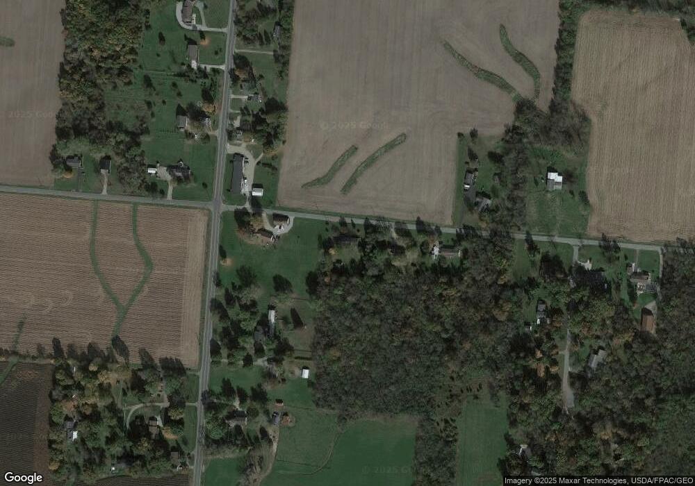
Map
Nearby Homes
- 129 Tanglewood Dr
- . Co Rd 189
- 4164 County Road 1
- 5197 County Road 1
- 0 County Road 189
- Lot 3 County Road 1
- Lot 2 County Road 1
- Lot 1 County Road 1
- 6404 Township Road 55
- 414 N Detroit St
- 308 Reynolds St
- 116 E Newell St
- 215 N Detroit St
- Lot 1 County Road 1
- 512 W Columbus St
- 619 W Baird St
- 501 Gunntown Rd Unit Lot 66
- 501 Gunntown Rd Unit Lot 57
- 501 Gunntown Rd Unit 107
- 2848 Township Road 179
- 110 E T-30
- 156 Township Road 30 E
- 219 E T-30
- 198 Township Road 30 E
- 34 Township Road 30 E
- 5230 Us Highway 68 S
- 5069 Us Highway 68 S
- 219 Township Road 30 E
- 5241 Us Highway 68 S
- 5037 Us Highway 68 S
- 38 Township Road 30 W
- 5062 U S 68
- 5154 Ash Dr
- 5303 Us Highway 68 S
- 5062 Us Highway 68 S
- 5336 Us Highway 68 S
- 5230 Ash Dr
- 5316 Us Highway 68 S
- 5003 Us Highway 68 S
- 5345 Us Route 68