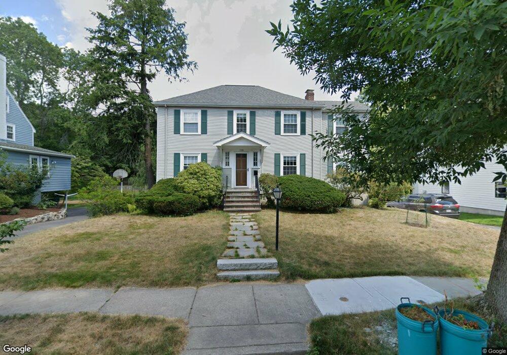
110 Upland Ave Newton Highlands, MA 02461
Newton Highlands NeighborhoodEstimated Value: $1,536,000 - $1,747,000
3
Beds
3
Baths
2,026
Sq Ft
$812/Sq Ft
Est. Value
About This Home
This home is located at 110 Upland Ave, Newton Highlands, MA 02461 and is currently estimated at $1,644,924, approximately $811 per square foot. 110 Upland Ave is a home located in Middlesex County with nearby schools including Countryside Elementary School, Charles E Brown Middle School, and Newton South High School.
Ownership History
Date
Name
Owned For
Owner Type
Purchase Details
Closed on
Sep 4, 2012
Sold by
Telio Steven H and Babitt Jodie L
Bought by
Telio Babitt Nt and Telio Steven H
Current Estimated Value
Purchase Details
Closed on
Sep 4, 2007
Sold by
Rubin Jacob N and Rubin Renee S
Bought by
Babitt Jodie L and Telio Steven H
Home Financials for this Owner
Home Financials are based on the most recent Mortgage that was taken out on this home.
Original Mortgage
$400,000
Interest Rate
6.71%
Mortgage Type
Purchase Money Mortgage
Create a Home Valuation Report for This Property
The Home Valuation Report is an in-depth analysis detailing your home's value as well as a comparison with similar homes in the area
Home Values in the Area
Average Home Value in this Area
Purchase History
| Date | Buyer | Sale Price | Title Company |
|---|---|---|---|
| Telio Babitt Nt | -- | -- | |
| Babitt Jodie L | $642,525 | -- |
Source: Public Records
Mortgage History
| Date | Status | Borrower | Loan Amount |
|---|---|---|---|
| Previous Owner | Babitt Jodie L | $400,000 |
Source: Public Records
Tax History Compared to Growth
Tax History
| Year | Tax Paid | Tax Assessment Tax Assessment Total Assessment is a certain percentage of the fair market value that is determined by local assessors to be the total taxable value of land and additions on the property. | Land | Improvement |
|---|---|---|---|---|
| 2025 | $14,119 | $1,440,700 | $870,800 | $569,900 |
| 2024 | $13,651 | $1,398,700 | $845,400 | $553,300 |
| 2023 | $13,002 | $1,277,200 | $641,000 | $636,200 |
| 2022 | $12,441 | $1,182,600 | $593,500 | $589,100 |
| 2021 | $9,454 | $1,115,700 | $559,900 | $555,800 |
| 2020 | $11,648 | $1,115,700 | $559,900 | $555,800 |
| 2019 | $8,164 | $1,083,200 | $543,600 | $539,600 |
| 2018 | $7,882 | $728,500 | $493,700 | $234,800 |
| 2017 | $7,643 | $687,300 | $465,800 | $221,500 |
| 2016 | $7,309 | $642,300 | $435,300 | $207,000 |
| 2015 | $6,969 | $600,300 | $406,800 | $193,500 |
Source: Public Records
Map
Nearby Homes
- 116 Upland Ave
- 230 Upland Ave
- 3 Glenmore Terrace Unit 2
- 1308 Walnut St
- 1629 Centre St
- 1623-1625 Centre St
- 250 Woodcliff Rd
- 200 Lincoln St
- 17 Circuit Ave Unit 2
- 36 Cannon St
- 1151 Walnut St Unit 205
- 1151 Walnut St Unit 405
- 1151 Walnut St Unit 207
- 125 Oakdale Rd
- 1597 Centre St
- 1597 Centre St Unit 1
- 59 Roundwood Rd
- 51 Carl St
- 29 Cottage St
- 56 Cloverdale Rd
- 106 Upland Ave
- 29 Brierfield Rd
- 111 Upland Ave
- 107 Upland Ave
- 122 Upland Ave
- 100 Upland Ave
- 101 Upland Ave
- 115 Upland Ave
- 28 Brierfield Rd
- 128 Upland Ave
- 22 Brierfield Rd
- 123 Upland Ave
- 92 Upland Ave
- 95 Upland Ave
- 138 Winchester St
- 134 Winchester St
- 142 Winchester St
- 130 Winchester St
- 148 Winchester St
- 124 Winchester St