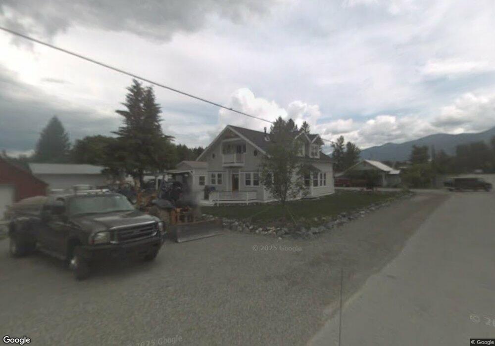
110 West Ave N Eureka, MT 59917
Estimated Value: $192,202 - $232,000
3
Beds
1
Bath
1,472
Sq Ft
$143/Sq Ft
Est. Value
About This Home
This home is located at 110 West Ave N, Eureka, MT 59917 and is currently estimated at $211,067, approximately $143 per square foot. 110 West Ave N is a home located in Lincoln County with nearby schools including Eureka Elementary School, Eureka Middle School, and Lincoln County High School.
Ownership History
Date
Name
Owned For
Owner Type
Purchase Details
Closed on
Nov 20, 2025
Sold by
Dailey Dacia C
Bought by
Guldenzopf Ronn G
Current Estimated Value
Home Financials for this Owner
Home Financials are based on the most recent Mortgage that was taken out on this home.
Original Mortgage
$158,250
Outstanding Balance
$158,250
Interest Rate
6.3%
Mortgage Type
New Conventional
Estimated Equity
$52,817
Purchase Details
Closed on
Feb 19, 2016
Sold by
Bauer Michael and Bauer Lori
Bought by
Dailey Dacia C
Purchase Details
Closed on
Jun 7, 2005
Sold by
Mason Gary W and Mason Sandra K
Bought by
Bauer Michael and Bauer Lori
Create a Home Valuation Report for This Property
The Home Valuation Report is an in-depth analysis detailing your home's value as well as a comparison with similar homes in the area
Purchase History
We collect this data history from publicly available records. To have your information removed, we recommend requesting removal directly through your county’s website.
| Date | Buyer | Sale Price | Title Company |
|---|---|---|---|
| Guldenzopf Ronn G | -- | Flying S Title & Escrow | |
| Dailey Dacia C | -- | None Available | |
| Bauer Michael | -- | First American Title Co Of M |
Source: Public Records
Mortgage History
We collect this data history from publicly available records. To have your information removed, we recommend requesting removal directly through your county’s website.
| Date | Status | Borrower | Loan Amount |
|---|---|---|---|
| Open | Guldenzopf Ronn G | $158,250 |
Source: Public Records
Tax History
| Year | Tax Paid | Tax Assessment Tax Assessment Total Assessment is a certain percentage of the fair market value that is determined by local assessors to be the total taxable value of land and additions on the property. | Land | Improvement |
|---|---|---|---|---|
| 2025 | $131 | $182,500 | $0 | $0 |
| 2024 | $204 | $161,600 | $0 | $0 |
| 2023 | $1,316 | $161,600 | $0 | $0 |
| 2022 | $648 | $81,900 | $0 | $0 |
| 2021 | $698 | $81,900 | $0 | $0 |
| 2020 | $978 | $88,000 | $0 | $0 |
| 2019 | $981 | $88,000 | $0 | $0 |
| 2018 | $855 | $72,700 | $0 | $0 |
| 2017 | $622 | $72,700 | $0 | $0 |
| 2016 | $669 | $51,500 | $0 | $0 |
| 2015 | $398 | $51,500 | $0 | $0 |
| 2014 | $454 | $29,997 | $0 | $0 |
Source: Public Records
Map
Nearby Homes
- 4 Acres U S 93
- 112 6th Ave E
- 400 1st Ave E
- 407 1st Ave W
- 412 1st Ave E
- 506 1st Ave E Unit A,B,C
- 500 1st Ave E
- 458 Eureka Heights Rd
- Nhn Tobacco Rd
- 450 6th St E
- lot 10 Dewey Ave
- 126 10th St
- 961 3rd Ave E
- 575 9th St
- 125 Mossy Rock Rd N
- 782 Othorp Lake Rd
- 148 Trail
- Nhn Othorp Lake Rd Unit Lot 9
- 560 Riding High Dr
- NHN Hillandale
- 100 West Ave N
- 1125 2nd Ave E
- 138 West Ave N
- 0 Dewey Ave
- LOT 2 Us Hwy 93n
- Lot 4 Us Hwy 93 N
- Lot 3 Us Hwy 93 N
- Lot 2 Us Hwy 93 N
- Unit 2 Us Hwy 93 N
- Unit# 6 Us Highway 93n
- Lot 1 Us Hwy 93 N
- Lot 4 Us Highway 93 N
- NHN Cliff Ave
- 100 Dewey Ave
- 101 Dewey Ave
- 20 Cliff Ave E
- 107 Dewey Ave
- 175 Tobacco River Ln
- 104 1st Ave W
- 110 Dewey Ave
Your Personal Tour Guide
Ask me questions while you tour the home.