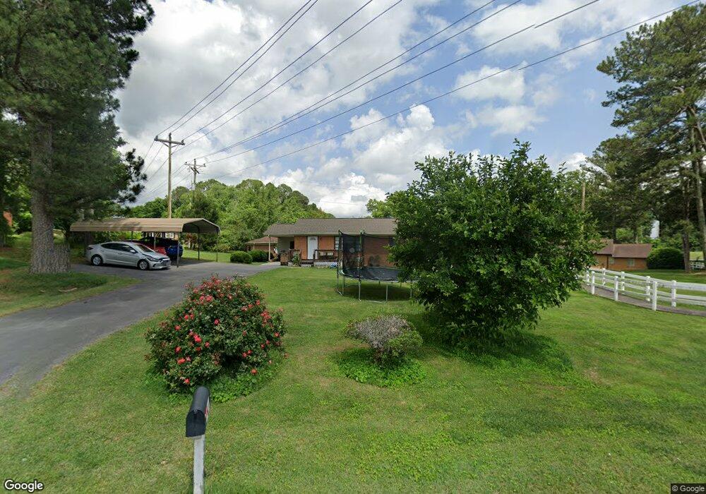
110 Westbrook Rd Dalton, GA 30721
Estimated Value: $251,262 - $295,000
--
Bed
2
Baths
1,612
Sq Ft
$167/Sq Ft
Est. Value
About This Home
This home is located at 110 Westbrook Rd, Dalton, GA 30721 and is currently estimated at $268,566, approximately $166 per square foot. 110 Westbrook Rd is a home located in Whitfield County with nearby schools including Pleasant Grove Elementary School, New Hope Middle School, and Northwest Whitfield County High School.
Ownership History
Date
Name
Owned For
Owner Type
Purchase Details
Closed on
Mar 3, 2017
Sold by
Hill Carol C
Bought by
Dereyes Yolanda T and Reyes Mario
Current Estimated Value
Home Financials for this Owner
Home Financials are based on the most recent Mortgage that was taken out on this home.
Original Mortgage
$71,625
Outstanding Balance
$59,428
Interest Rate
4.19%
Mortgage Type
New Conventional
Estimated Equity
$209,138
Purchase Details
Closed on
Feb 13, 2015
Sold by
Hill Byron D
Bought by
Hill Carol C
Purchase Details
Closed on
Oct 1, 1991
Bought by
Hill Byron D and Hill Carol C
Create a Home Valuation Report for This Property
The Home Valuation Report is an in-depth analysis detailing your home's value as well as a comparison with similar homes in the area
Home Values in the Area
Average Home Value in this Area
Purchase History
| Date | Buyer | Sale Price | Title Company |
|---|---|---|---|
| Dereyes Yolanda T | $95,500 | -- | |
| Hill Carol C | -- | -- | |
| Hill Byron D | $53,000 | -- |
Source: Public Records
Mortgage History
| Date | Status | Borrower | Loan Amount |
|---|---|---|---|
| Open | Dereyes Yolanda T | $71,625 |
Source: Public Records
Tax History Compared to Growth
Tax History
| Year | Tax Paid | Tax Assessment Tax Assessment Total Assessment is a certain percentage of the fair market value that is determined by local assessors to be the total taxable value of land and additions on the property. | Land | Improvement |
|---|---|---|---|---|
| 2024 | $1,723 | $88,736 | $10,000 | $78,736 |
| 2023 | $1,723 | $58,426 | $5,124 | $53,302 |
| 2022 | $1,079 | $36,576 | $5,124 | $31,452 |
| 2021 | $1,191 | $40,350 | $5,124 | $35,226 |
| 2020 | $1,231 | $40,350 | $5,124 | $35,226 |
| 2019 | $1,251 | $40,350 | $5,124 | $35,226 |
| 2018 | $1,204 | $40,350 | $5,124 | $35,226 |
| 2017 | $1,272 | $40,350 | $5,124 | $35,226 |
| 2016 | $1,127 | $37,162 | $5,124 | $32,038 |
| 2014 | $1,000 | $37,162 | $5,124 | $32,038 |
| 2013 | -- | $37,162 | $5,124 | $32,038 |
Source: Public Records
Map
Nearby Homes
- 1730 Brighton Way
- 1713 Brighton Way
- 1709 Willow Oak Ln Unit 53
- 1702 Chestnut Oak Dr
- 1702 Chestnut Oak Dr Unit 83
- 1696 Red Oak Dr Unit 184
- 1696 Red Oak Dr
- 1696 Red Oak Dr Unit 181
- 1706 Chestnut Oak Dr Unit 90
- 1699 Burnt Oak Dr Unit 195
- 1699 Burnt Oak Dr
- 2100 Cleveland Hwy
- 1699 Pin Oak Dr Unit 133
- 1899 N Summit Dr Unit 66
- 1600 Puryear Dr NW
- 2117 Cleveland Hwy
- 1899 Middle Summit Dr Unit 98
- 2201 Cleveland Hwy
- 1614 Waring Rd NW
- 1903 Middle Summit Dr
- 110 Westbrook Rd
- 105 Bridlewood Dr
- 107 Bridlewood Dr
- 108 Bridlewood Dr
- 1905 Cleveland Hwy
- 1905 Cleveland Hwy
- 109 Bridlewood Dr
- 2001 Cleveland Hwy
- 1903 Cleveland Hwy
- 0 Bridlewood Dr
- 120 Westbrook Rd
- 0 Bridlewood & Shultes
- 113 Bridlewood Dr
- 110 Bridlewood Dr
- 122 Westbrook Rd
- 101 Shultes Dr
- 2005 Cleveland Hwy
- 115 Bridlewood Dr
- 112 Bridlewood Dr
- 117 Bridlewood Dr