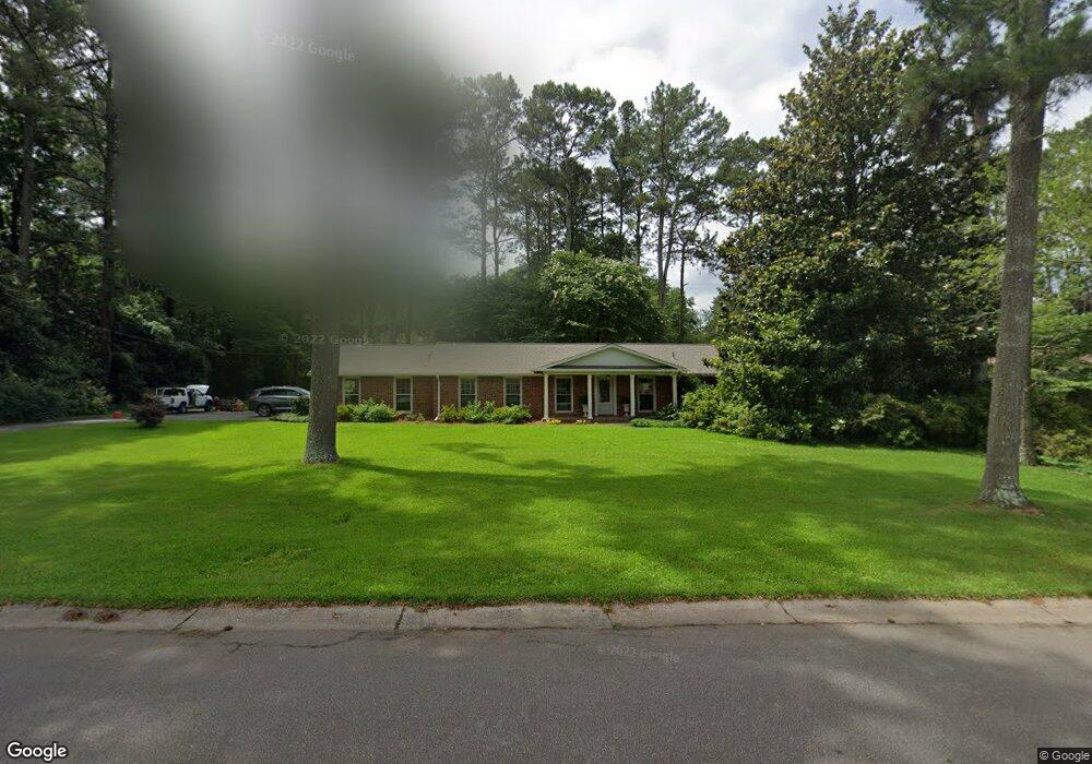
110 Woodland Dr Cartersville, GA 30120
Estimated Value: $335,000 - $377,000
3
Beds
2
Baths
1,899
Sq Ft
$189/Sq Ft
Est. Value
About This Home
This home is located at 110 Woodland Dr, Cartersville, GA 30120 and is currently estimated at $358,127, approximately $188 per square foot. 110 Woodland Dr is a home located in Bartow County with nearby schools including Cartersville Primary School, Cartersville Elementary School, and Cartersville Middle School.
Ownership History
Date
Name
Owned For
Owner Type
Purchase Details
Closed on
Apr 16, 2014
Sold by
Pittman Edward O Mary M
Bought by
Weeks William D and Weeks Connie
Current Estimated Value
Home Financials for this Owner
Home Financials are based on the most recent Mortgage that was taken out on this home.
Original Mortgage
$160,000
Interest Rate
4.37%
Mortgage Type
New Conventional
Create a Home Valuation Report for This Property
The Home Valuation Report is an in-depth analysis detailing your home's value as well as a comparison with similar homes in the area
Home Values in the Area
Average Home Value in this Area
Purchase History
| Date | Buyer | Sale Price | Title Company |
|---|---|---|---|
| Weeks William D | $31,430 | -- |
Source: Public Records
Mortgage History
| Date | Status | Borrower | Loan Amount |
|---|---|---|---|
| Closed | Weeks William D | $160,000 |
Source: Public Records
Tax History Compared to Growth
Tax History
| Year | Tax Paid | Tax Assessment Tax Assessment Total Assessment is a certain percentage of the fair market value that is determined by local assessors to be the total taxable value of land and additions on the property. | Land | Improvement |
|---|---|---|---|---|
| 2024 | $1,802 | $109,552 | $34,000 | $75,552 |
| 2023 | $1,802 | $113,333 | $30,000 | $83,333 |
| 2022 | $2,498 | $97,901 | $30,000 | $67,901 |
| 2021 | $2,149 | $82,648 | $30,000 | $52,648 |
| 2020 | $2,153 | $78,070 | $30,000 | $48,070 |
| 2019 | $2,235 | $78,845 | $30,000 | $48,845 |
| 2018 | $2,221 | $77,830 | $30,000 | $47,830 |
| 2017 | $1,883 | $64,880 | $24,000 | $40,880 |
| 2016 | $1,915 | $64,880 | $24,000 | $40,880 |
| 2015 | $1,872 | $64,880 | $24,000 | $40,880 |
| 2014 | $1,661 | $56,480 | $20,000 | $36,480 |
| 2013 | -- | $50,480 | $14,000 | $36,480 |
Source: Public Records
Map
Nearby Homes
- 20 Woodland Dr
- 10 Woodland Dr
- 59 Calloway Ln
- 20 Woodview Dr
- 26 Herring St
- 16 Walker St
- 32 Walker St
- 539 Summerfield Ln NW
- 308 Etowah Dr
- 9 Hillshire Dr
- 204 Arrowhead Dr
- 302 Briar Patch Ln
- 18 Cassville Rd
- 309 West Ave
- 275 Briar Patch Ln
- 111 Tanglewood Dr
- 00 Douthit Ferry Rd
- 704 S Bartow St
- 209 Parkview Dr
- 114 Woodland Dr
- 108 Woodland Dr
- 113 Mitchell Ave
- 115 Mitchell Ave
- 111 Woodland Dr
- 109 Woodland Dr
- 115 Woodland Dr
- 111 Mitchell Ave
- 0 Woodland Dr Unit 8506580
- 0 Woodland Dr Unit 8283619
- 0 Woodland Dr Unit 3112816
- 0 Woodland Dr Unit 7254559
- 107 Woodland Dr
- 106 Woodland Dr Unit 11
- 106 Woodland Dr
- 118 Woodland Dr
- 117 Mitchell Ave
- 117 Woodland Dr
- 107 Mitchell Ave
- 112 Mitchell Ave