110 Woodland Dr Dingmans Ferry, PA 18328
Estimated Value: $412,917 - $494,000
5
Beds
4
Baths
3,800
Sq Ft
$119/Sq Ft
Est. Value
About This Home
This home is located at 110 Woodland Dr, Dingmans Ferry, PA 18328 and is currently estimated at $453,459, approximately $119 per square foot. 110 Woodland Dr is a home located in Pike County with nearby schools including Delaware Valley High School.
Ownership History
Date
Name
Owned For
Owner Type
Purchase Details
Closed on
Oct 5, 2017
Sold by
Dellavecchia Daniel
Bought by
Perez Victor and Perez Diane
Current Estimated Value
Home Financials for this Owner
Home Financials are based on the most recent Mortgage that was taken out on this home.
Original Mortgage
$225,280
Outstanding Balance
$188,624
Interest Rate
3.82%
Mortgage Type
VA
Estimated Equity
$264,835
Create a Home Valuation Report for This Property
The Home Valuation Report is an in-depth analysis detailing your home's value as well as a comparison with similar homes in the area
Home Values in the Area
Average Home Value in this Area
Purchase History
| Date | Buyer | Sale Price | Title Company |
|---|---|---|---|
| Perez Victor | $220,000 | None Available |
Source: Public Records
Mortgage History
| Date | Status | Borrower | Loan Amount |
|---|---|---|---|
| Open | Perez Victor | $25,000 | |
| Open | Perez Victor | $225,280 | |
| Previous Owner | Dellavecchia Daniel | $90,650 |
Source: Public Records
Tax History Compared to Growth
Tax History
| Year | Tax Paid | Tax Assessment Tax Assessment Total Assessment is a certain percentage of the fair market value that is determined by local assessors to be the total taxable value of land and additions on the property. | Land | Improvement |
|---|---|---|---|---|
| 2025 | $6,086 | $38,890 | $2,820 | $36,070 |
| 2024 | $6,086 | $38,890 | $2,820 | $36,070 |
| 2023 | $5,921 | $38,890 | $2,820 | $36,070 |
| 2022 | $5,766 | $38,890 | $2,820 | $36,070 |
| 2021 | $5,708 | $38,890 | $2,820 | $36,070 |
| 2020 | $5,708 | $38,890 | $2,820 | $36,070 |
| 2019 | $5,527 | $38,890 | $2,820 | $36,070 |
| 2018 | $5,527 | $38,890 | $2,820 | $36,070 |
| 2017 | $5,422 | $38,890 | $2,820 | $36,070 |
| 2016 | $0 | $38,890 | $2,820 | $36,070 |
| 2014 | -- | $38,890 | $2,820 | $36,070 |
Source: Public Records
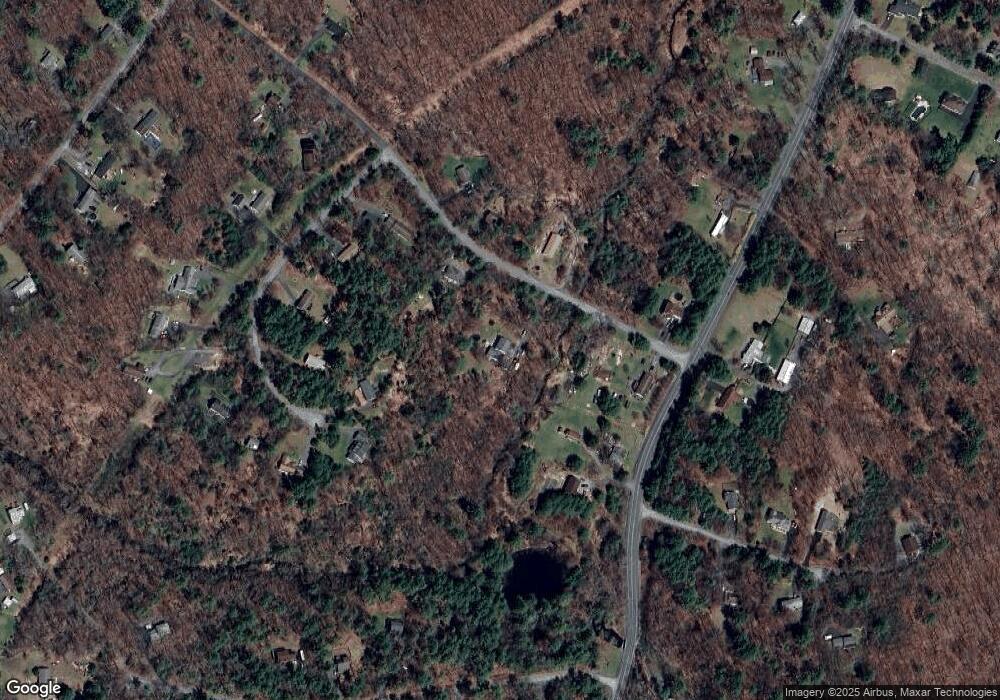
Map
Nearby Homes
- 763 Milford Rd
- 146 Spencer Rd
- 113 Lancet Cir
- 0 Pa-739 Unit PM-114282
- 116 Ln
- Lot 33 Primrose Ln
- Lot 85,86, Lot 85a Blk B-95 S-13
- Lot 3 Aspen Rd
- 114 Kemadobi Cir W
- 213 Butternut St
- 1615 Pennsylvania 739
- 106 Kemadobi Cir E
- 179 Tulip St
- 18 Dingmans Ct
- 105 Kemadobi Cir E
- 1793 Pennsylvania 739
- 9507.02/1 Pennsylvania 739
- Lot 2 Pennsylvania 739
- Lot 3B Pennsylvania 739
- 186 Oak Ridge Dr
- 112 Woodland Dr
- 118 Meadow Brook Ct
- 109 Woodland Dr
- 113 Woodland Dr
- 102 Woodland Dr
- 100 Meadow Brook Ct
- 101 Woodland Dr
- 102 Meadow Brook Ct
- 765 Milford Rd
- 121 Meadow Brook Ct
- 117 Woodland Dr
- 114 Meadow Brook Ct
- 112 Meadow Brook Ct
- 768 Milford Rd
- 768 Milford Rd
- 758 Milford Rd
- 0 Meadow Brook Ct
- 119 Meadow Brook Ct
- 754 Milford Rd
- 124 Woodland Dr