1100 Cedar Bridge Rd Barnegat, NJ 08005
Stafford NeighborhoodEstimated Value: $499,476 - $607,000
5
Beds
3
Baths
2,384
Sq Ft
$225/Sq Ft
Est. Value
About This Home
This home is located at 1100 Cedar Bridge Rd, Barnegat, NJ 08005 and is currently estimated at $535,619, approximately $224 per square foot. 1100 Cedar Bridge Rd is a home located in Ocean County with nearby schools including Ocean Acres Elementary School, Oxycocus Elementary School, and McKinley Avenue Elementary School.
Ownership History
Date
Name
Owned For
Owner Type
Purchase Details
Closed on
Jan 2, 1997
Sold by
Mirth Patricia
Bought by
Barsch Detlev and Barsch Suzanne
Current Estimated Value
Home Financials for this Owner
Home Financials are based on the most recent Mortgage that was taken out on this home.
Original Mortgage
$145,000
Outstanding Balance
$15,335
Interest Rate
7.46%
Estimated Equity
$520,284
Create a Home Valuation Report for This Property
The Home Valuation Report is an in-depth analysis detailing your home's value as well as a comparison with similar homes in the area
Home Values in the Area
Average Home Value in this Area
Purchase History
| Date | Buyer | Sale Price | Title Company |
|---|---|---|---|
| Barsch Detlev | $165,000 | -- |
Source: Public Records
Mortgage History
| Date | Status | Borrower | Loan Amount |
|---|---|---|---|
| Open | Barsch Detlev | $145,000 |
Source: Public Records
Tax History Compared to Growth
Tax History
| Year | Tax Paid | Tax Assessment Tax Assessment Total Assessment is a certain percentage of the fair market value that is determined by local assessors to be the total taxable value of land and additions on the property. | Land | Improvement |
|---|---|---|---|---|
| 2025 | $7,635 | $307,500 | $60,600 | $246,900 |
| 2024 | $7,561 | $307,500 | $60,600 | $246,900 |
| 2023 | $7,239 | $307,500 | $60,600 | $246,900 |
| 2022 | $7,239 | $307,500 | $60,600 | $246,900 |
| 2021 | $7,140 | $307,500 | $60,600 | $246,900 |
| 2020 | $7,149 | $307,500 | $60,600 | $246,900 |
| 2019 | $7,048 | $307,500 | $60,600 | $246,900 |
| 2018 | $7,005 | $307,500 | $60,600 | $246,900 |
| 2017 | $6,784 | $288,300 | $60,600 | $227,700 |
| 2016 | $6,715 | $288,300 | $60,600 | $227,700 |
| 2015 | $6,478 | $288,300 | $60,600 | $227,700 |
| 2014 | $6,375 | $280,200 | $60,600 | $219,600 |
Source: Public Records
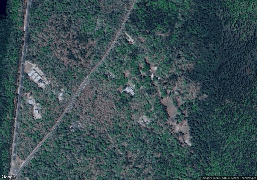
Map
Nearby Homes
- 0 N Green St Unit 22504021
- 140 Warren Grove Rd
- 0 Pancoast Rd S Unit NJOC2036534
- 0 Pancoast Rd S Unit NJOC2036532
- 195 Sims Place To W G
- 1553 Main St
- 195 Sims Place Rd
- 6 Cervetto Rd
- 114 Magnolia Dr
- 105 Basswood Dr
- 101 Juniper Dr
- 134 Cypress Ln
- 112 Chestnut Dr
- 100 Cypress Ln
- 114 Redwood Dr
- 136 Chestnut Dr
- 108 Redwood Dr
- 115 Cedar Ln
- 5 Susan Dr Unit S5
- 42 Susan Dr Unit S42
- 1072 Cedar Bridge Rd
- 1068 Cedar Bridge Rd
- 1102 Cedar Bridge Rd
- 1126 Cedar Bridge Rd
- 1064 Cedar Bridge Rd
- 1140 Cedar Bridge Rd
- 1125 Cedar Bridge Rd
- 1071 Cedar Bridge Rd
- 1120 Route 539
- 0 Warren Grove Rd Unit NJOC203136
- 1156 Cedar Bridge Rd
- 2 Warren Grove Rd
- 0 Cedar Bridge Rd
- 6 Warren Grove Rd
- 8 Warren Grove Rd
- 1182 Cedar Bridge Rd
- 10 Warren Grove Rd
- 1210 Cedar Bridge Rd
- 84 Corliss Dr
- 0 Rutter Dr Unit NJOC405404