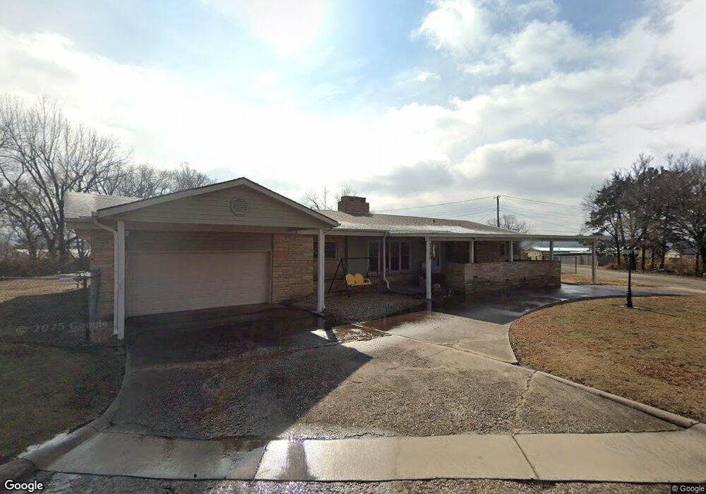
1100 E 12th St Pawhuska, OK 74056
Estimated Value: $121,000 - $197,000
3
Beds
2
Baths
1,872
Sq Ft
$85/Sq Ft
Est. Value
About This Home
This home is located at 1100 E 12th St, Pawhuska, OK 74056 and is currently estimated at $158,548, approximately $84 per square foot. 1100 E 12th St is a home located in Osage County with nearby schools including Indian Camp Elementary School, Pawhuska Elementary School, and Pawhuska Middle School.
Ownership History
Date
Name
Owned For
Owner Type
Purchase Details
Closed on
Jul 3, 2019
Sold by
Backward James and Backward Cheryl L
Bought by
Backward James
Current Estimated Value
Home Financials for this Owner
Home Financials are based on the most recent Mortgage that was taken out on this home.
Original Mortgage
$80,500
Outstanding Balance
$70,491
Interest Rate
3.9%
Mortgage Type
New Conventional
Estimated Equity
$88,057
Purchase Details
Closed on
Oct 4, 2006
Sold by
Carriger Lyra Lauree
Bought by
James Geurin Jinx and James Barkward
Purchase Details
Closed on
Oct 28, 1993
Sold by
66 Federal Credit Union
Bought by
Carriger Lonnie L and Carriger Lyra L
Purchase Details
Closed on
Oct 7, 1993
Sold by
Kennedy Howard E
Bought by
66 Federal Credit Union
Create a Home Valuation Report for This Property
The Home Valuation Report is an in-depth analysis detailing your home's value as well as a comparison with similar homes in the area
Home Values in the Area
Average Home Value in this Area
Purchase History
| Date | Buyer | Sale Price | Title Company |
|---|---|---|---|
| Backward James | -- | Chicago Title Oklahoma | |
| James Geurin Jinx | $85,000 | -- | |
| Carriger Lonnie L | $31,200 | -- | |
| 66 Federal Credit Union | $61,800 | -- |
Source: Public Records
Mortgage History
| Date | Status | Borrower | Loan Amount |
|---|---|---|---|
| Open | Backward James | $80,500 |
Source: Public Records
Tax History Compared to Growth
Tax History
| Year | Tax Paid | Tax Assessment Tax Assessment Total Assessment is a certain percentage of the fair market value that is determined by local assessors to be the total taxable value of land and additions on the property. | Land | Improvement |
|---|---|---|---|---|
| 2025 | $1,186 | $13,837 | $577 | $13,260 |
| 2024 | $1,148 | $13,434 | $577 | $12,857 |
| 2023 | $1,148 | $13,043 | $577 | $12,466 |
| 2022 | $1,040 | $12,294 | $577 | $11,717 |
| 2021 | $1,011 | $12,294 | $577 | $11,717 |
| 2020 | $1,029 | $12,294 | $577 | $11,717 |
| 2019 | $1,005 | $12,294 | $577 | $11,717 |
| 2018 | $996 | $12,193 | $577 | $11,616 |
| 2017 | $973 | $11,837 | $577 | $11,260 |
| 2016 | $946 | $11,493 | $577 | $10,916 |
| 2015 | $948 | $11,158 | $577 | $10,581 |
| 2014 | $935 | $10,833 | $577 | $10,256 |
| 2013 | $1,000 | $10,518 | $577 | $9,941 |
Source: Public Records
Map
Nearby Homes
- 1205 Brenner Ave
- 1119 E 13th St
- 1322 Boundary Ave
- 421 E 11th St
- 0 Prudom Ave
- 320 E 7th St
- 1419 Leahy Ave
- 101 E 11th St
- 225 E 6th St
- 1719 Leahy Ave
- 1700 Grandview Ave
- 1715 Grandview Ave
- 2125 Mckenzie Rd
- 1127 5205 Rd
- 501 W 17th St
- 627 Tinker Ave
- 102 Oak Rd
- 00000 County Road 2801
- 2951 County Road 2625
- 0 Rd Unit HMS2583311
- 1101 E 12th St
- 1114 E 12th St
- 1112 Brenner Ave
- 1020 E 12th St
- 1124 E 12th St
- 1016 E 12th St
- 1025 E 11th St
- 1104 Brenner Ave
- 1012 E 12th St
- 1021 E 12th St
- 1201 Brenner Ave
- 1100 E 11th St
- 1015 E 12th St
- 1008 E 12th St
- 1004 E 12th St
- 1009 E 12th St
- 1104 E 11th St
- 1201 E 11th St
- 1201 E 12th St
- 1005 E 11th St