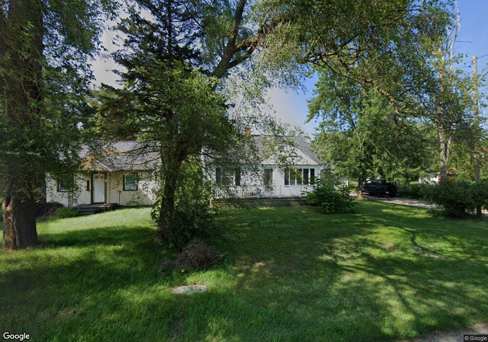
1100 E Hile Rd Norton Shores, MI 49441
Estimated Value: $188,109 - $209,000
3
Beds
1
Bath
960
Sq Ft
$206/Sq Ft
Est. Value
About This Home
This home is located at 1100 E Hile Rd, Norton Shores, MI 49441 and is currently estimated at $198,027, approximately $206 per square foot. 1100 E Hile Rd is a home located in Muskegon County with nearby schools including Mona Shores High School, Edgewood Elementary Academy, and Dr. Martin Luther King Academy.
Ownership History
Date
Name
Owned For
Owner Type
Purchase Details
Closed on
Jan 15, 2019
Sold by
Erickson Albert C and Erickson Janice A
Bought by
Erickson Albert C and Erickson Janice A
Current Estimated Value
Purchase Details
Closed on
Mar 26, 2009
Sold by
Miesch Charles M
Bought by
Erickson Albert C and Erickson Janice A
Purchase Details
Closed on
Aug 23, 2004
Sold by
Miesch Anna J and Miesch William
Bought by
Miesch Anna J and Anna J Miesch Living Trust
Create a Home Valuation Report for This Property
The Home Valuation Report is an in-depth analysis detailing your home's value as well as a comparison with similar homes in the area
Home Values in the Area
Average Home Value in this Area
Purchase History
| Date | Buyer | Sale Price | Title Company |
|---|---|---|---|
| Erickson Albert C | -- | None Available | |
| Erickson Albert C | $53,000 | None Available | |
| Miesch Anna J | -- | -- |
Source: Public Records
Tax History Compared to Growth
Tax History
| Year | Tax Paid | Tax Assessment Tax Assessment Total Assessment is a certain percentage of the fair market value that is determined by local assessors to be the total taxable value of land and additions on the property. | Land | Improvement |
|---|---|---|---|---|
| 2025 | $1,756 | $81,500 | $0 | $0 |
| 2024 | $1,376 | $74,300 | $0 | $0 |
| 2023 | $1,315 | $65,900 | $0 | $0 |
| 2022 | $1,602 | $55,600 | $0 | $0 |
| 2021 | $1,557 | $51,200 | $0 | $0 |
| 2020 | $1,540 | $48,200 | $0 | $0 |
| 2019 | $1,511 | $44,500 | $0 | $0 |
| 2018 | $1,476 | $42,600 | $0 | $0 |
| 2017 | $1,442 | $42,400 | $0 | $0 |
| 2016 | $1,116 | $39,400 | $0 | $0 |
| 2015 | -- | $36,600 | $0 | $0 |
| 2014 | $1,340 | $36,900 | $0 | $0 |
| 2013 | -- | $35,800 | $0 | $0 |
Source: Public Records
Map
Nearby Homes
- 1065 Wilson Ct
- 1067 Aspen Dr
- 4476 Cedar Ln Unit 54
- 4535 Thompson Rd
- 4468 Spruce Ct
- 4638 Lauren Dr
- V/L 4535 Thompson Rd
- 945 Petrie Ave
- 1130 Englewood Ave
- 1068 Englewood Ave
- 4677 Harvey St
- 1404 E Ellis Rd
- V/L E Ellis Rd
- 4769 Harvey St
- 1454 Airport Rd
- 1283 E Ellis Rd Unit 18
- 1283 E Ellis Rd Unit 20
- 1283 E Ellis Rd Unit 19
- 1283 E Ellis Rd Unit 21
- 4060 Buck St