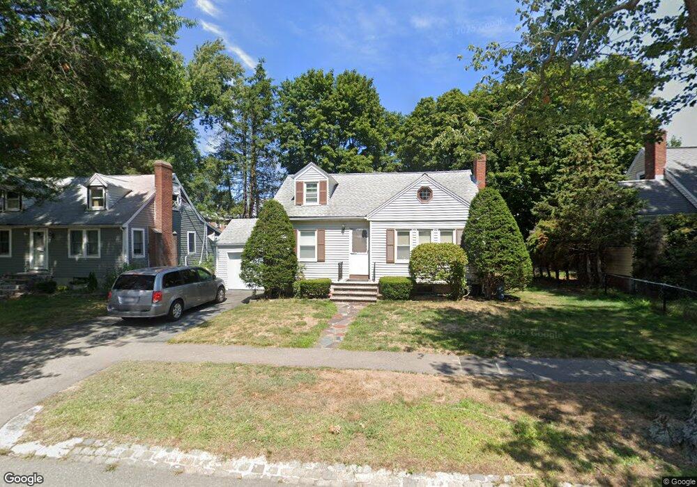
1100 Furnace Brook Pkwy Quincy, MA 02169
South Quincy NeighborhoodEstimated Value: $564,179 - $611,000
2
Beds
1
Bath
836
Sq Ft
$703/Sq Ft
Est. Value
About This Home
This home is located at 1100 Furnace Brook Pkwy, Quincy, MA 02169 and is currently estimated at $588,045, approximately $703 per square foot. 1100 Furnace Brook Pkwy is a home located in Norfolk County with nearby schools including South West Middle School, Lincoln-Hancock Community School, and Quincy High School.
Ownership History
Date
Name
Owned For
Owner Type
Purchase Details
Closed on
Sep 1, 1987
Sold by
Lake Donald P
Bought by
Callaghan Michael M
Current Estimated Value
Home Financials for this Owner
Home Financials are based on the most recent Mortgage that was taken out on this home.
Original Mortgage
$100,000
Interest Rate
10.24%
Mortgage Type
Purchase Money Mortgage
Create a Home Valuation Report for This Property
The Home Valuation Report is an in-depth analysis detailing your home's value as well as a comparison with similar homes in the area
Home Values in the Area
Average Home Value in this Area
Purchase History
| Date | Buyer | Sale Price | Title Company |
|---|---|---|---|
| Callaghan Michael M | $153,000 | -- |
Source: Public Records
Mortgage History
| Date | Status | Borrower | Loan Amount |
|---|---|---|---|
| Closed | Callaghan Michael M | $81,000 | |
| Closed | Callaghan Michael M | $100,000 |
Source: Public Records
Tax History Compared to Growth
Tax History
| Year | Tax Paid | Tax Assessment Tax Assessment Total Assessment is a certain percentage of the fair market value that is determined by local assessors to be the total taxable value of land and additions on the property. | Land | Improvement |
|---|---|---|---|---|
| 2025 | $5,986 | $519,200 | $312,500 | $206,700 |
| 2024 | $5,771 | $512,100 | $297,700 | $214,400 |
| 2023 | $5,357 | $481,300 | $283,600 | $197,700 |
| 2022 | $4,948 | $413,000 | $226,900 | $186,100 |
| 2021 | $4,971 | $409,500 | $226,900 | $182,600 |
| 2020 | $5,043 | $405,700 | $226,900 | $178,800 |
| 2019 | $4,748 | $378,300 | $220,400 | $157,900 |
| 2018 | $4,744 | $355,600 | $204,100 | $151,500 |
| 2017 | $4,577 | $323,000 | $194,400 | $128,600 |
| 2016 | $4,275 | $297,700 | $176,800 | $120,900 |
| 2015 | $4,301 | $294,600 | $166,800 | $127,800 |
| 2014 | $4,168 | $280,500 | $166,800 | $113,700 |
Source: Public Records
Map
Nearby Homes
- 73 Connell St
- 211 Copeland St
- 10 White St
- 1 Cityview Ln Unit 506
- 1 Cityview Ln Unit 210
- 1 Cityview Ln Unit 709
- 1 Cityview Ln Unit 204
- 25 Carrolls Ln
- 46 Suomi Rd
- 46 Suomi Rd Unit 46
- 46-48 Buckley St
- 57 Buckley St
- 42 West St
- 510 Willard St
- 66 Unity St
- 29 Oconnell Ave
- 89 Puritan Dr
- 14 Arthur Ave
- 41 Wallace Rd
- 12 Arthur Ave
- 1096 Furnace Brook Pkwy
- 1104 Furnace Brook Pkwy
- 79 Dayton St
- 1090 Furnace Brook Pkwy
- 80 Dayton St
- 82 Dayton St Unit 82
- 75 Dayton St
- 94 Dayton St
- 92A Dayton St
- 92A Dayton St
- 92A Dayton St Unit A
- 92 Dayton St
- 92 Dayton St
- 92 Dayton St Unit A
- 92 Dayton St
- 76 Dayton St
- 100 Dayton St
- 71 Dayton St
- 76 Grogan Ave
- 72 Dayton St