1100 Greshams Fort Greensboro, GA 30642
Estimated Value: $1,838,000 - $2,330,000
4
Beds
5
Baths
3,783
Sq Ft
$549/Sq Ft
Est. Value
About This Home
This home is located at 1100 Greshams Fort, Greensboro, GA 30642 and is currently estimated at $2,076,982, approximately $549 per square foot. 1100 Greshams Fort is a home located in Greene County with nearby schools including Greene County High School.
Ownership History
Date
Name
Owned For
Owner Type
Purchase Details
Closed on
Jun 17, 2003
Sold by
Brown Eric A
Bought by
Brown Eric A and Brown Ellen
Current Estimated Value
Purchase Details
Closed on
May 13, 2003
Sold by
Brown Eric A and Brown Ellen
Bought by
Brown Eric A
Purchase Details
Closed on
Nov 3, 1998
Sold by
Bay James A and Bay Linda A
Bought by
Brown Eric A and Brown Ellen
Purchase Details
Closed on
Oct 9, 1995
Sold by
Reynolds Plan
Bought by
Bay James A and Bay Linda A
Create a Home Valuation Report for This Property
The Home Valuation Report is an in-depth analysis detailing your home's value as well as a comparison with similar homes in the area
Home Values in the Area
Average Home Value in this Area
Purchase History
| Date | Buyer | Sale Price | Title Company |
|---|---|---|---|
| Brown Eric A | -- | -- | |
| Brown Eric A | -- | -- | |
| Brown Eric A | $560,000 | -- | |
| Bay James A | $294,500 | -- |
Source: Public Records
Tax History Compared to Growth
Tax History
| Year | Tax Paid | Tax Assessment Tax Assessment Total Assessment is a certain percentage of the fair market value that is determined by local assessors to be the total taxable value of land and additions on the property. | Land | Improvement |
|---|---|---|---|---|
| 2024 | $9,709 | $765,080 | $187,480 | $577,600 |
| 2023 | $9,448 | $657,280 | $187,480 | $469,800 |
| 2022 | $10,978 | $672,680 | $20,000 | $652,680 |
| 2021 | $11,056 | $580,840 | $20,000 | $560,840 |
| 2020 | $11,700 | $556,360 | $144,000 | $412,360 |
| 2019 | $11,882 | $556,360 | $144,000 | $412,360 |
| 2018 | $11,860 | $556,360 | $144,000 | $412,360 |
| 2017 | $10,959 | $547,435 | $144,000 | $403,435 |
Source: Public Records
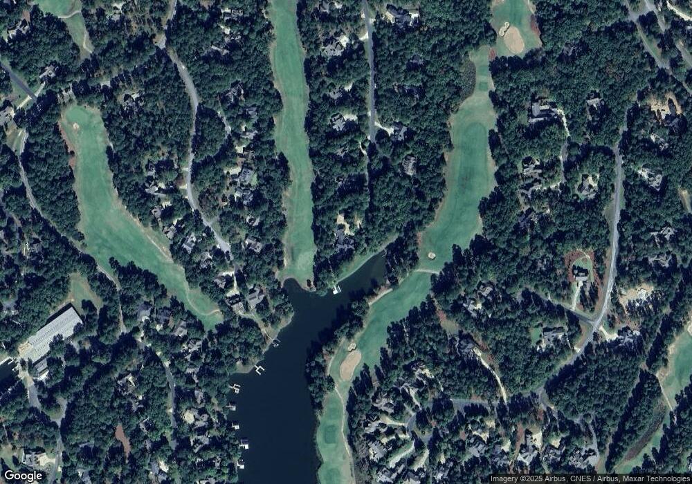
Map
Nearby Homes
- 1021 Branson Bluff
- 1010 Kimbrough Hill Dr
- 1011 Kimbrough Hill Dr
- 1001 Walton Way
- 1120 Plantation Point Dr
- 1010 Wrayswood Cir
- 1031 Crackers Neck Rd
- 1201 Linger Longer Dr
- 1201 Marina Cove Ln
- 1131 Scull Shoals Dr
- 1090 Henrys Hill
- 1170 Liberty Bluff Rd
- 1060 Liberty Bluff Ct
- 1091 Jones Bluff Ct
- 1121 Crackers Neck Rd
- 1051 Liberty Bluff Ln
- 1030 Scott Loop
- 1341 Planters Trail
- 1041 Neils Fort
- 1098 Greshams Fort
- 1091 Greshams Fort
- 0 Greshams Fort Unit LOT 18
- 0 Greshams Fort Unit 7559590
- 0 Greshams Fort Unit LOT 18 7324509
- 0 Greshams Fort Unit 8749419
- 0 Greshams Fort Unit 7524742
- 0 Greshams Fort Unit 8025240
- 0 Greshams Fort Unit 8630957
- 1090 Kimbrough Hill Dr
- 1081 Greshams Fort
- 1090 Greshams Fort
- 1080 Kimbrough Hill Dr
- 1110 Kimbrough Hill Dr
- 1070 Kimbrough Hill Dr
- 1071 Greshams Fort
- 1101 Kimbrough Hill Dr
- 1080 Greshams Fort
- 1040 Kimbrough Hill Loop
- 0 Kimbrough Hill Dr Unit 7614844