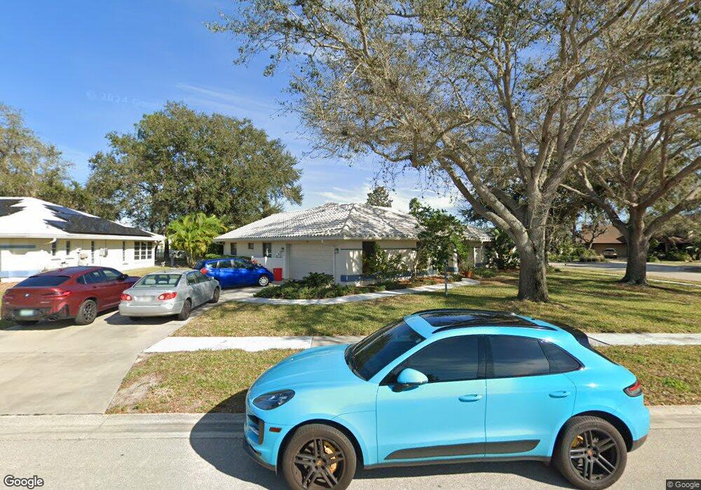
1100 Hoover St Nokomis, FL 34275
Estimated Value: $422,747 - $542,000
3
Beds
2
Baths
1,940
Sq Ft
$256/Sq Ft
Est. Value
About This Home
This home is located at 1100 Hoover St, Nokomis, FL 34275 and is currently estimated at $495,687, approximately $255 per square foot. 1100 Hoover St is a home located in Sarasota County with nearby schools including Laurel Nokomis School, Venice High School, and Island Village Montessori School.
Ownership History
Date
Name
Owned For
Owner Type
Purchase Details
Closed on
Feb 8, 2024
Sold by
Grace Mark D J and Grace Deborah Strazdes
Bought by
Grace Revocable Trust and Grace
Current Estimated Value
Purchase Details
Closed on
Jan 26, 2004
Sold by
Strazdes Sonya R
Bought by
Grace Deborah Strazdes and Grace Mark D J
Purchase Details
Closed on
Jul 31, 1995
Sold by
Strazdes Sonya R
Bought by
Strazdes Sonya R and Grace Undiv 1% Int Deborah M
Purchase Details
Closed on
Feb 21, 1995
Sold by
Strazdas Ellena V and Strazdas Ellaina V
Bought by
Strazdes Sonya R
Create a Home Valuation Report for This Property
The Home Valuation Report is an in-depth analysis detailing your home's value as well as a comparison with similar homes in the area
Home Values in the Area
Average Home Value in this Area
Purchase History
| Date | Buyer | Sale Price | Title Company |
|---|---|---|---|
| Grace Revocable Trust | $100 | None Listed On Document | |
| Grace Deborah Strazdes | -- | -- | |
| Strazdes Sonya R | -- | -- | |
| Strazdes Sonya R | -- | -- |
Source: Public Records
Tax History Compared to Growth
Tax History
| Year | Tax Paid | Tax Assessment Tax Assessment Total Assessment is a certain percentage of the fair market value that is determined by local assessors to be the total taxable value of land and additions on the property. | Land | Improvement |
|---|---|---|---|---|
| 2024 | $2,124 | $196,307 | -- | -- |
| 2023 | $2,124 | $190,589 | $0 | $0 |
| 2022 | $2,049 | $185,038 | $0 | $0 |
| 2021 | $2,025 | $179,649 | $0 | $0 |
| 2020 | $2,022 | $177,169 | $0 | $0 |
| 2019 | $1,934 | $173,186 | $0 | $0 |
| 2018 | $1,873 | $169,957 | $0 | $0 |
| 2017 | $1,860 | $166,461 | $0 | $0 |
| 2016 | $1,851 | $202,700 | $56,600 | $146,100 |
| 2015 | $1,884 | $189,400 | $52,100 | $137,300 |
| 2014 | $1,874 | $158,245 | $0 | $0 |
Source: Public Records
Map
Nearby Homes
- 1062 Derian Place
- 1180 Orange Ave
- 1077 Ruisdael Cir
- 1085 Sorrento Woods Blvd
- 1073 Truman St
- 1104 Sorrento Woods Blvd
- 812 Garland Ave
- 809 Garland Ave
- 1144 Hoover St
- 741 Shakett Creek Dr
- 94 Anne Bonny Cir
- 1461 Marlin St
- 1197 Wyeth Dr
- 1596 Landfall Dr
- 1503 Marlin St
- 0 Sorrento Woods Blvd
- 1605 Landfall Dr
- 835 Hollowood Cir
- 1255 Sorrento Woods Blvd
- 1048 Bradberry Dr
- 1102 Hoover St
- 1040 Truman Cir
- 1046 Truman St
- 1104 Hoover St
- 1041 Truman St
- 1039 Truman Cir
- 1043 Truman St
- 1038 Truman Cir
- 1103 Hoover St
- 1063 Derian Place
- 1048 Truman St
- 1037 Truman Cir
- 1053 Derian Place
- 1045 Truman St
- 1106 Hoover St
- 1063 Eisenhower Dr
- 1035 Sorrento Woods Blvd
- 1047 Truman St
- 1073 Derian Place
- 1108 Hoover St