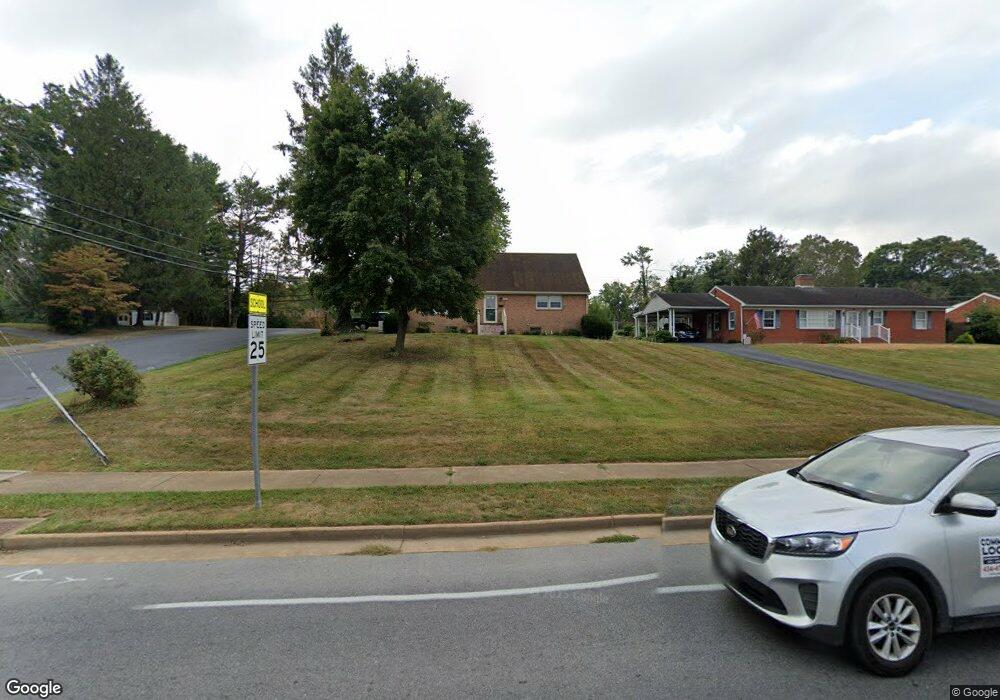
1100 Lyndhurst Rd Waynesboro, VA 22980
Estimated Value: $342,823 - $387,000
4
Beds
3
Baths
2,247
Sq Ft
$160/Sq Ft
Est. Value
About This Home
This home is located at 1100 Lyndhurst Rd, Waynesboro, VA 22980 and is currently estimated at $359,456, approximately $159 per square foot. 1100 Lyndhurst Rd is a home located in Waynesboro City with nearby schools including Berkeley Glenn Elementary School, Kate Collins Middle School, and Waynesboro High School.
Ownership History
Date
Name
Owned For
Owner Type
Purchase Details
Closed on
Oct 11, 2013
Sold by
Garber Wanda H
Bought by
Huffman Emily P
Current Estimated Value
Home Financials for this Owner
Home Financials are based on the most recent Mortgage that was taken out on this home.
Original Mortgage
$40,000
Outstanding Balance
$30,092
Interest Rate
4.53%
Mortgage Type
Land Contract Argmt. Of Sale
Estimated Equity
$329,364
Create a Home Valuation Report for This Property
The Home Valuation Report is an in-depth analysis detailing your home's value as well as a comparison with similar homes in the area
Purchase History
| Date | Buyer | Sale Price | Title Company |
|---|---|---|---|
| Huffman Emily P | $180,000 | -- |
Source: Public Records
Mortgage History
| Date | Status | Borrower | Loan Amount |
|---|---|---|---|
| Open | Huffman Emily P | $40,000 |
Source: Public Records
Tax History
| Year | Tax Paid | Tax Assessment Tax Assessment Total Assessment is a certain percentage of the fair market value that is determined by local assessors to be the total taxable value of land and additions on the property. | Land | Improvement |
|---|---|---|---|---|
| 2025 | $2,696 | $328,800 | $60,000 | $268,800 |
| 2024 | $2,121 | $275,500 | $55,000 | $220,500 |
| 2023 | $2,121 | $275,500 | $55,000 | $220,500 |
| 2022 | $1,926 | $214,000 | $50,000 | $164,000 |
| 2021 | $1,926 | $214,000 | $50,000 | $164,000 |
| 2020 | $1,780 | $197,800 | $50,000 | $147,800 |
| 2019 | $1,780 | $197,800 | $50,000 | $147,800 |
| 2018 | $1,625 | $180,600 | $50,000 | $130,600 |
| 2017 | $1,571 | $180,600 | $50,000 | $130,600 |
| 2016 | $1,438 | $179,800 | $50,000 | $129,800 |
| 2015 | $1,438 | $179,800 | $50,000 | $129,800 |
| 2014 | -- | $171,200 | $50,000 | $121,200 |
| 2013 | -- | $0 | $0 | $0 |
Source: Public Records
Map
Nearby Homes
- 842 Maple Ave
- 700 Rife Rd Unit 7-I
- 833 Jefferson Ave
- 1133 Club Rd
- 701 Western Rd
- 1200 Club Rd
- 428 Maple Ave
- 314 13th St
- 424 Oak Ave
- 1305 13th St
- 829 Greenway Cir
- 812 Meadowbrook Rd
- 1215 W 12th St
- 315 W 12th St
- 373 S Magnolia Ave
- 317 W 12th St
- 315 Dupont Cir
- 1245 Hollins Rd
- 701 Rosser Ave
- 1837 Cherokee Rd
- 1108 Lyndhurst Rd
- 613 Binford Rd
- 101 Robin Rd
- 1072 Lyndhurst Rd
- 1075 Lyndhurst Rd
- 607 Binford Rd
- 1124 Lyndhurst Rd
- 1081 Woodrow Ave
- 630 Circular Ct
- 100 Robin Rd
- 107 Robin Rd
- 1066 Lyndhurst Rd
- 1077 Woodrow Ave
- 108 River Rd
- 636 Circular Ct
- 1101 Woodrow Ave
- 1067 Lyndhurst Rd
- 106 Robin Rd
- 1060 Lyndhurst Rd
- 113 Robin Rd
Your Personal Tour Guide
Ask me questions while you tour the home.