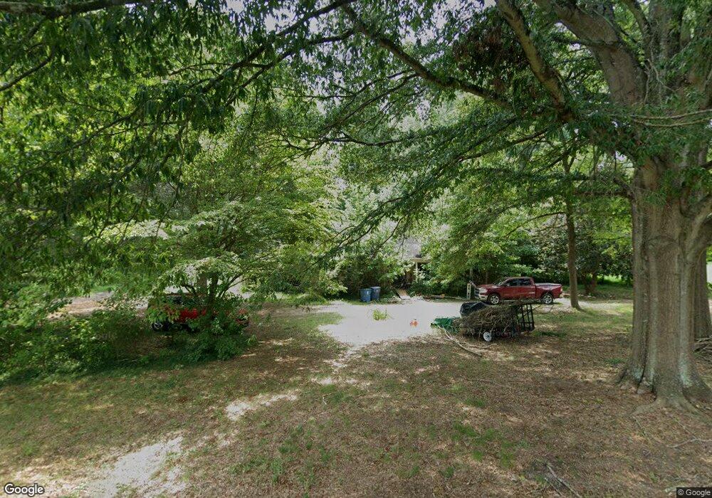
1100 Michael Ave Concord, NC 28025
Concord AreaEstimated Value: $528,000 - $682,000
About This Home
This home is located at 1100 Michael Ave, Concord, NC 28025 and is currently estimated at $596,730, approximately $193 per square foot. 1100 Michael Ave is a home located in Cabarrus County with nearby schools including W.M. Irvin Elementary School, Concord Middle School, and Concord High School.
Ownership History
We collect this data history from publicly available records. To have your information removed, we recommend requesting removal directly through your county’s website.
Purchase Details
Home Financials for this Owner
Home Financials are based on the most recent Mortgage that was taken out on this home.Purchase Details
Home Financials for this Owner
Home Financials are based on the most recent Mortgage that was taken out on this home.Purchase Details
Purchase Details
Home Values in the Area
Average Home Value in this Area
Purchase History
We collect this data history from publicly available records. To have your information removed, we recommend requesting removal directly through your county’s website.
| Date | Buyer | Sale Price | Title Company |
|---|---|---|---|
| -- | National Title Networth Inc | ||
| $276,000 | None Available | ||
| $154,000 | -- | ||
| $8,500 | -- |
Mortgage History
We collect this data history from publicly available records. To have your information removed, we recommend requesting removal directly through your county’s website.
| Date | Status | Borrower | Loan Amount |
|---|---|---|---|
| Open | $267,289 | ||
| Closed | $284,350 | ||
| Closed | $276,000 | ||
| Previous Owner | $113,000 |
Tax History
We collect this data history from publicly available records. To have your information removed, we recommend requesting removal directly through your county’s website.
| Year | Tax Paid | Tax Assessment Tax Assessment Total Assessment is a certain percentage of the fair market value that is determined by local assessors to be the total taxable value of land and additions on the property. | Land | Improvement |
|---|---|---|---|---|
| 2025 | $3,638 | $554,620 | $68,000 | $486,620 |
| 2024 | $3,638 | $554,620 | $68,000 | $486,620 |
| 2023 | $2,836 | $345,890 | $50,000 | $295,890 |
| 2022 | $2,836 | $345,890 | $50,000 | $295,890 |
| 2021 | $2,836 | $345,890 | $50,000 | $295,890 |
| 2020 | $2,767 | $345,890 | $50,000 | $295,890 |
| 2019 | $2,038 | $254,710 | $40,000 | $214,710 |
| 2018 | $1,987 | $254,710 | $40,000 | $214,710 |
| 2017 | $1,936 | $254,710 | $40,000 | $214,710 |
| 2016 | $1,936 | $257,240 | $36,000 | $221,240 |
| 2015 | $1,955 | $257,240 | $36,000 | $221,240 |
| 2014 | $1,955 | $257,240 | $36,000 | $221,240 |
Map
- 1051 Michael Ave
- 452 Voyager Ln NE
- 446 Voyager Ln
- 244 Colton Place
- 244 Colton Place NE
- 250 Colton Place NE
- 250 Colton Place
- 102 Stacybrook Dr SE
- 396 Cameron Ave NE
- 247 Patterson Ave SE
- 345 Dellwood Ct SE
- 247 Cabarrus Ave E
- 13 Adams St NE
- 237 Jefferson Ave NE
- 274 Hatley Cir NE
- 86 Ashlyn Dr SE
- 347 Hatley Cir NE
- 398 Knoll Ct SE
- 184 Cabarrus Ave E
- 473 Woodend Dr SE
- 1230 Michael Ave
- 1150 Michael Ave
- 1000 Brafford Dr
- 1101 Michael Ave
- 1151 Michael Ave
- 1030 Michael Ave
- 1010 Brafford Dr
- 1180 Michael Ave
- 1022 Templeton Ave
- 1015 Michael Ave
- 1038 Templeton Ave
- 624 Lenhaven St
- 1171 Michael Ave
- 1060 Templeton Ave
- 625 Lenhaven St
- 828 Brafford Dr
- 705 Sherwin Ln
- 1233 Michael Ave
- 700 Sherwin Ln
- 650 Lenhaven St
Ask me questions while you tour the home.