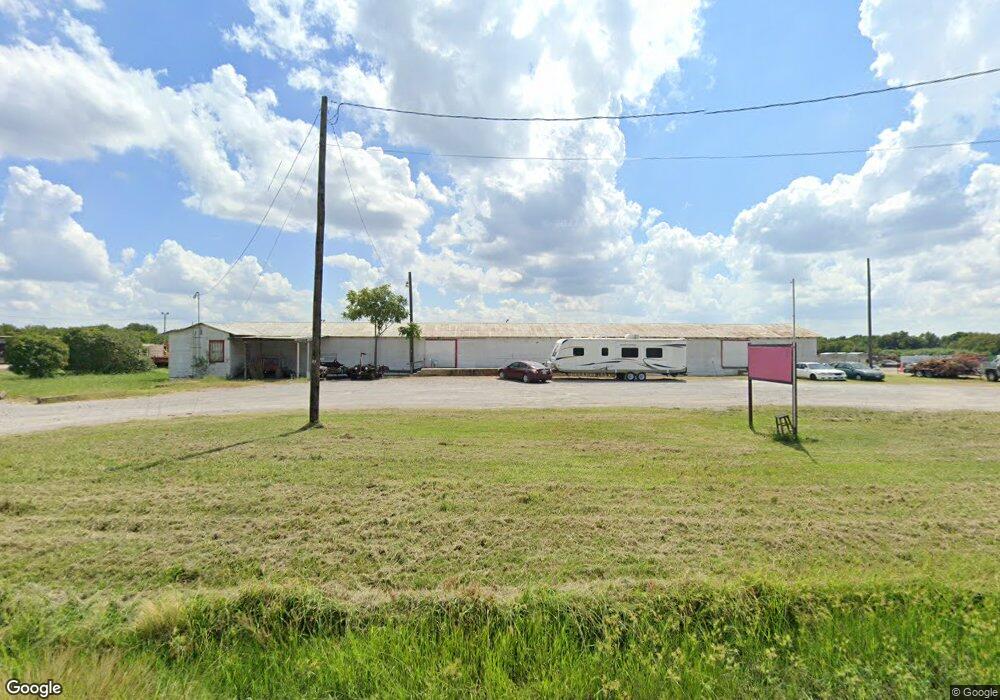
1100 N Frisco Rd Sherman, TX 75090
Estimated Value: $93,160
--
Bed
--
Bath
4,176
Sq Ft
$22/Sq Ft
Est. Value
About This Home
This home is located at 1100 N Frisco Rd, Sherman, TX 75090 and is currently estimated at $93,160, approximately $22 per square foot. 1100 N Frisco Rd is a home located in Grayson County with nearby schools including Percy W. Neblett Elementary School, Dillingham Intermediate School, and Piner Middle School.
Ownership History
Date
Name
Owned For
Owner Type
Purchase Details
Closed on
Dec 18, 2015
Sold by
Wilson Ronald R
Bought by
Hanley Paul
Current Estimated Value
Purchase Details
Closed on
May 13, 2013
Sold by
Buchanan Virgil E and Buchanan Betty D
Bought by
Wilson Ronald R
Home Financials for this Owner
Home Financials are based on the most recent Mortgage that was taken out on this home.
Original Mortgage
$25,000
Interest Rate
3.61%
Mortgage Type
Commercial
Create a Home Valuation Report for This Property
The Home Valuation Report is an in-depth analysis detailing your home's value as well as a comparison with similar homes in the area
Home Values in the Area
Average Home Value in this Area
Purchase History
| Date | Buyer | Sale Price | Title Company |
|---|---|---|---|
| Hanley Paul | -- | None Available | |
| Wilson Ronald R | -- | Chapin Title Co Inc |
Source: Public Records
Mortgage History
| Date | Status | Borrower | Loan Amount |
|---|---|---|---|
| Previous Owner | Wilson Ronald R | $25,000 |
Source: Public Records
Tax History Compared to Growth
Tax History
| Year | Tax Paid | Tax Assessment Tax Assessment Total Assessment is a certain percentage of the fair market value that is determined by local assessors to be the total taxable value of land and additions on the property. | Land | Improvement |
|---|---|---|---|---|
| 2025 | $1,877 | $85,589 | $63,116 | $22,473 |
| 2024 | $1,877 | $85,589 | $63,116 | $22,473 |
| 2023 | $1,879 | $85,589 | $63,116 | $22,473 |
| 2022 | $1,871 | $79,825 | $54,447 | $25,378 |
| 2021 | $1,558 | $62,163 | $41,078 | $21,085 |
| 2020 | $1,510 | $57,517 | $41,078 | $16,439 |
| 2019 | $1,555 | $57,692 | $41,078 | $16,614 |
| 2018 | $1,187 | $47,323 | $32,247 | $15,076 |
| 2017 | $1,179 | $47,349 | $32,247 | $15,102 |
| 2016 | $1,148 | $46,134 | $32,247 | $13,887 |
| 2015 | $1,096 | $44,124 | $32,247 | $11,877 |
| 2014 | $1,021 | $41,111 | $32,247 | $8,864 |
Source: Public Records
Map
Nearby Homes
- 812 E McGee St
- 1416 N Cleveland Ave
- 604 N Frisco St
- 2012 Texoma Pkwy
- 1215 N Grand Ave
- 1705 E Hilton St
- 13 E Lewis St
- 1 E Lewis St
- 5 E Lewis St
- 14 E Lewis St
- 15.125 acres E Peyton St
- 1007 N Cleveland Ave
- 1516 E Peyton St
- 000 N Masters St
- 1110 N Ross Ave
- 1511 N Brents Ave
- 812 N Willow St
- 1212 N Throckmorton St
- 1915 E Cole Ave
- 905 N Music St
- 1119 Frisco Rd
- 1701 Texoma Dr
- 931 N Frisco Rd
- 000 E Grand Ave Rd
- 1201 E Tuck St Unit 1203
- 1211 E Tuck St
- 1215 E Tuck St
- 1207 E Tuck St
- 1301 E Tuck St
- 825 E McGee St
- 1309 E Tuck St
- 816 E McGee St
- 1314 N Hurt St
- 811 E McGee St
- 1909 Texoma Pkwy Unit C
- 1909 Texoma Pkwy Unit 4
- 1800 Teague Dr
- 817 E Scott St
- 1317 E Tuck St
- 810 E McGee St