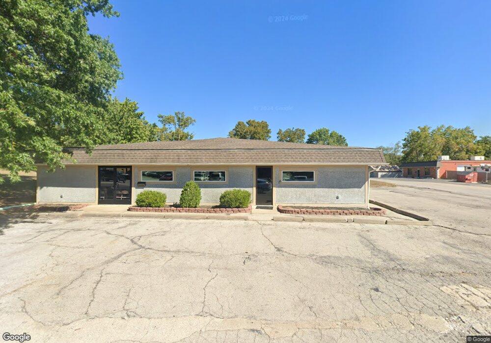
1100 NW Knox St Blue Springs, MO 64015
Estimated Value: $217,721
--
Bed
--
Bath
3,600
Sq Ft
$60/Sq Ft
Est. Value
About This Home
This home is located at 1100 NW Knox St, Blue Springs, MO 64015 and is currently estimated at $217,721, approximately $60 per square foot. 1100 NW Knox St is a home located in Jackson County with nearby schools including Thomas J. Ultican Elementary School, Paul Kinder Middle School, and Blue Springs High School.
Ownership History
Date
Name
Owned For
Owner Type
Purchase Details
Closed on
Aug 15, 2008
Sold by
Perrin Ray A
Bought by
Tajazz School Of Dance Llc
Current Estimated Value
Purchase Details
Closed on
Aug 15, 2006
Sold by
Brb Holdings Ii Llc
Bought by
Perrin Ray A
Home Financials for this Owner
Home Financials are based on the most recent Mortgage that was taken out on this home.
Original Mortgage
$172,000
Interest Rate
6.77%
Mortgage Type
Commercial
Purchase Details
Closed on
Feb 27, 2004
Sold by
Cj Real Estate Inc
Bought by
Mead Michael and Delancey Dennis
Home Financials for this Owner
Home Financials are based on the most recent Mortgage that was taken out on this home.
Original Mortgage
$216,823
Interest Rate
5.65%
Mortgage Type
Commercial
Create a Home Valuation Report for This Property
The Home Valuation Report is an in-depth analysis detailing your home's value as well as a comparison with similar homes in the area
Home Values in the Area
Average Home Value in this Area
Purchase History
| Date | Buyer | Sale Price | Title Company |
|---|---|---|---|
| Tajazz School Of Dance Llc | -- | First American Title | |
| Perrin Ray A | -- | Coffelt Land Title Inc | |
| Mead Michael | -- | Ati Title Company |
Source: Public Records
Mortgage History
| Date | Status | Borrower | Loan Amount |
|---|---|---|---|
| Previous Owner | Perrin Ray A | $172,000 | |
| Previous Owner | Mead Michael | $216,823 |
Source: Public Records
Tax History Compared to Growth
Tax History
| Year | Tax Paid | Tax Assessment Tax Assessment Total Assessment is a certain percentage of the fair market value that is determined by local assessors to be the total taxable value of land and additions on the property. | Land | Improvement |
|---|---|---|---|---|
| 2025 | $8,444 | $102,697 | $47,763 | $54,934 |
| 2024 | $8,306 | $88,000 | $40,928 | $47,072 |
| 2023 | $8,306 | $189,600 | $40,928 | $148,672 |
| 2022 | $7,318 | $69,760 | $29,760 | $40,000 |
| 2021 | $7,312 | $69,760 | $29,760 | $40,000 |
| 2020 | $7,192 | $69,626 | $29,760 | $39,866 |
| 2019 | $6,986 | $69,626 | $29,760 | $39,866 |
| 2018 | $6,278 | $60,544 | $14,880 | $45,664 |
| 2017 | $6,278 | $60,544 | $14,880 | $45,664 |
| 2016 | $5,726 | $55,351 | $11,446 | $43,905 |
| 2014 | $5,663 | $54,581 | $11,446 | $43,135 |
Source: Public Records
Map
Nearby Homes
- 1109 NW B St
- 804 NW North Summit Cir
- 503 NW 15th St
- 305 NW 17th St
- 318 SW 10th St
- 804 NW Maynard St
- 1705 SW Walnut St
- 510 SW 12 St
- 401 SW 18th St
- 723 NW 6th Street Terrace
- 1109 NW Mock Ave
- 2000 SW Smith St
- 514 SW 10th St
- 205 NW 4th Street Ct
- 403 NW Lakeview Rd
- 505 SW 18th St
- 1700 SW Mc Arthur St
- 678 NW Valleybrook Rd
- 108 W Walnut St
- 2317 NW Kensington Ct