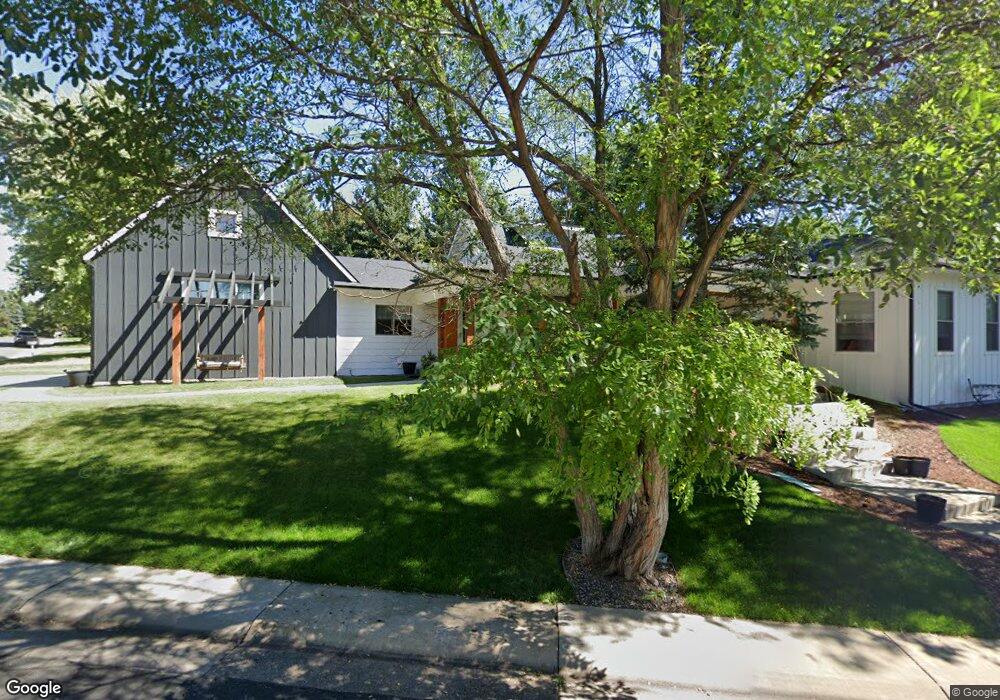
1100 Par Rd Broomfield, CO 80020
Broomfield Country Club NeighborhoodEstimated Value: $733,000 - $965,000
5
Beds
4
Baths
2,915
Sq Ft
$305/Sq Ft
Est. Value
About This Home
This home is located at 1100 Par Rd, Broomfield, CO 80020 and is currently estimated at $887,974, approximately $304 per square foot. 1100 Par Rd is a home located in Broomfield County with nearby schools including Birch Elementary School, Aspen Creek K-8 School, and Broomfield High School.
Ownership History
Date
Name
Owned For
Owner Type
Purchase Details
Closed on
Jun 12, 2014
Sold by
The Louis C Ross Trust
Bought by
Lefebvre Peter and Teague Teri
Current Estimated Value
Home Financials for this Owner
Home Financials are based on the most recent Mortgage that was taken out on this home.
Original Mortgage
$65,000
Interest Rate
4.27%
Mortgage Type
Purchase Money Mortgage
Purchase Details
Closed on
Sep 24, 2008
Sold by
Ross Louis C
Bought by
The Louis C Ross Trust
Purchase Details
Closed on
Mar 21, 1985
Purchase Details
Closed on
Dec 17, 1984
Purchase Details
Closed on
Feb 24, 1967
Create a Home Valuation Report for This Property
The Home Valuation Report is an in-depth analysis detailing your home's value as well as a comparison with similar homes in the area
Home Values in the Area
Average Home Value in this Area
Purchase History
| Date | Buyer | Sale Price | Title Company |
|---|---|---|---|
| Lefebvre Peter | $110,000 | Guardian Title Agency | |
| The Louis C Ross Trust | -- | None Available | |
| -- | -- | -- | |
| -- | -- | -- | |
| -- | -- | -- |
Source: Public Records
Mortgage History
| Date | Status | Borrower | Loan Amount |
|---|---|---|---|
| Closed | Lefebvre Peter | $65,000 |
Source: Public Records
Tax History Compared to Growth
Tax History
| Year | Tax Paid | Tax Assessment Tax Assessment Total Assessment is a certain percentage of the fair market value that is determined by local assessors to be the total taxable value of land and additions on the property. | Land | Improvement |
|---|---|---|---|---|
| 2025 | $5,442 | $56,560 | $10,720 | $45,840 |
| 2024 | $5,442 | $58,080 | $10,080 | $48,000 |
| 2023 | $5,432 | $64,070 | $11,120 | $52,950 |
| 2022 | $4,244 | $43,900 | $7,820 | $36,080 |
| 2021 | $4,222 | $45,160 | $8,040 | $37,120 |
| 2020 | $3,823 | $40,640 | $7,510 | $33,130 |
| 2019 | $3,816 | $40,920 | $7,560 | $33,360 |
| 2018 | $3,439 | $36,430 | $7,450 | $28,980 |
| 2017 | $3,386 | $40,280 | $8,240 | $32,040 |
| 2016 | $3,189 | $30,020 | $30,020 | $0 |
| 2015 | $2,733 | $30,020 | $30,020 | $0 |
| 2014 | $2,794 | $30,020 | $30,020 | $0 |
Source: Public Records
Map
Nearby Homes
- 1010 Ash St
- 951 E 10th Ave
- 961 Birch St
- 927 E 7th Ave
- 1152 Clubhouse Dr
- 1118 Oakhurst Dr
- 1123 Oakhurst Dr
- 1175 Oakhurst Dr
- 1201 Dover Ct
- 37 E 14th Place
- 114 E 14th Ct
- 240 W 6th Ave
- 5005 W 128th Place
- 1490 Saint Andrews Dr
- 57 Scott Dr S
- 1236 Sequerra St Unit D
- 1732 Peregrine Ln
- 20 Scott Dr N
- 23 Scott Dr N
- 400 W Midway Blvd