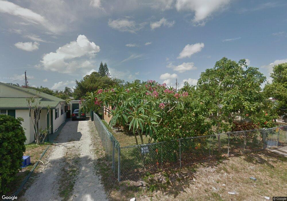
1100 Peak Rd Lantana, FL 33462
San Castle NeighborhoodEstimated Value: $224,000 - $276,000
2
Beds
1
Bath
750
Sq Ft
$346/Sq Ft
Est. Value
About This Home
This home is located at 1100 Peak Rd, Lantana, FL 33462 and is currently estimated at $259,644, approximately $346 per square foot. 1100 Peak Rd is a home located in Palm Beach County with nearby schools including Rolling Green Elementary School, Boynton Beach Community High School, and Calf Pen Meadow Elementary School.
Ownership History
Date
Name
Owned For
Owner Type
Purchase Details
Closed on
Oct 31, 2022
Sold by
Brannon Guy W
Bought by
Brace Ronald Cobie
Current Estimated Value
Purchase Details
Closed on
Oct 19, 2022
Sold by
Brannon Susie Jane
Bought by
Smith Jeannette and Brannon Coy
Purchase Details
Closed on
Jul 1, 2022
Sold by
Brannon Guy W
Bought by
Brace Ronald Cobie
Purchase Details
Closed on
May 2, 2022
Sold by
Brannon Susie Jane
Bought by
Smith Jeannette and Brannon Coy
Purchase Details
Closed on
Aug 22, 2007
Sold by
Morgan Daisy L
Bought by
Brannon Susie Jane
Create a Home Valuation Report for This Property
The Home Valuation Report is an in-depth analysis detailing your home's value as well as a comparison with similar homes in the area
Home Values in the Area
Average Home Value in this Area
Purchase History
| Date | Buyer | Sale Price | Title Company |
|---|---|---|---|
| Brace Ronald Cobie | -- | -- | |
| Smith Jeannette | -- | -- | |
| Brace Ronald Cobie | -- | None Listed On Document | |
| Smith Jeannette | -- | None Listed On Document | |
| Brannon Susie Jane | -- | Attorney | |
| Morgan Daisy I | -- | Attorney |
Source: Public Records
Tax History Compared to Growth
Tax History
| Year | Tax Paid | Tax Assessment Tax Assessment Total Assessment is a certain percentage of the fair market value that is determined by local assessors to be the total taxable value of land and additions on the property. | Land | Improvement |
|---|---|---|---|---|
| 2024 | $3,132 | $165,022 | -- | -- |
| 2023 | $2,845 | $150,020 | $81,179 | $68,841 |
| 2022 | $1,967 | $58,069 | $0 | $0 |
| 2021 | $1,650 | $108,054 | $51,600 | $56,454 |
| 2020 | $1,646 | $113,843 | $66,000 | $47,843 |
| 2019 | $1,494 | $95,910 | $44,000 | $51,910 |
| 2018 | $1,306 | $82,244 | $22,315 | $59,929 |
| 2017 | $1,191 | $72,061 | $13,947 | $58,114 |
| 2016 | $1,100 | $32,778 | $0 | $0 |
| 2015 | $1,014 | $29,798 | $0 | $0 |
| 2014 | $930 | $27,089 | $0 | $0 |
Source: Public Records
Map
Nearby Homes
- 1093 Highview Rd
- 1079 Highview Rd
- 1076 Highview Rd
- 00 Highland Rd
- 1141 S Ridge Rd
- 1191 Highview Rd
- 7890 Overlook Rd
- 1047 Miner Rd
- 1228 Highview Rd
- 7874 Griswold St
- 657 Waterside Dr Unit 14
- 7823 Loomis St
- 7805 Loomis St
- 8037 Ambach Way Unit 24D
- 7905 Loomis St Unit 7905-7907
- 7772 Loomis St
- 3313 Grove Rd
- 627 Waterside Dr
- 7937 Coral St
- 609 Waterside Dr Unit 609