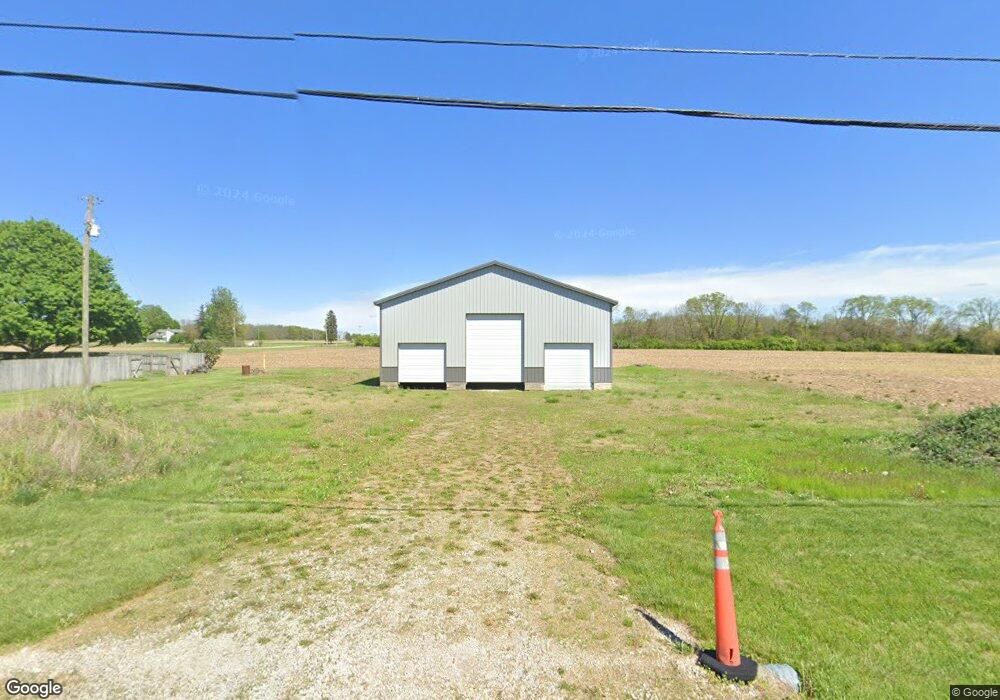
1100 S Hufford Rd Casstown, OH 45312
Estimated Value: $289,000 - $367,294
3
Beds
2
Baths
1,288
Sq Ft
$255/Sq Ft
Est. Value
About This Home
This home is located at 1100 S Hufford Rd, Casstown, OH 45312 and is currently estimated at $327,824, approximately $254 per square foot. 1100 S Hufford Rd is a home located in Miami County with nearby schools including Miami East Elementary School, Miami East Junior High School, and Miami East High School.
Ownership History
Date
Name
Owned For
Owner Type
Purchase Details
Closed on
Jan 21, 2016
Sold by
Hill Tanya and Slife Tanya
Bought by
Slife Timothy L and Slife Jennifer M
Current Estimated Value
Purchase Details
Closed on
Jun 6, 2003
Sold by
Musick Aaron J and Musick Kathy
Bought by
Slife Tim and Slife Tanya
Purchase Details
Closed on
May 13, 2002
Sold by
Stickel George C
Bought by
Musick Aaron J and Musick Kathy S
Purchase Details
Closed on
Feb 1, 1988
Bought by
Stickel George C
Create a Home Valuation Report for This Property
The Home Valuation Report is an in-depth analysis detailing your home's value as well as a comparison with similar homes in the area
Home Values in the Area
Average Home Value in this Area
Purchase History
| Date | Buyer | Sale Price | Title Company |
|---|---|---|---|
| Slife Timothy L | -- | Hallmark Title | |
| Slife Tim | $149,900 | -- | |
| Musick Aaron J | $164,000 | -- | |
| Stickel George C | $41,300 | -- |
Source: Public Records
Mortgage History
| Date | Status | Borrower | Loan Amount |
|---|---|---|---|
| Closed | Musick Aaron J | -- |
Source: Public Records
Tax History Compared to Growth
Tax History
| Year | Tax Paid | Tax Assessment Tax Assessment Total Assessment is a certain percentage of the fair market value that is determined by local assessors to be the total taxable value of land and additions on the property. | Land | Improvement |
|---|---|---|---|---|
| 2024 | $2,299 | $71,910 | $16,960 | $54,950 |
| 2023 | $2,299 | $71,910 | $16,960 | $54,950 |
| 2022 | $2,365 | $71,910 | $16,960 | $54,950 |
| 2021 | $1,961 | $56,410 | $14,130 | $42,280 |
| 2020 | $1,972 | $56,410 | $14,130 | $42,280 |
| 2019 | $2,006 | $56,410 | $14,130 | $42,280 |
| 2018 | $1,804 | $49,080 | $16,700 | $32,380 |
| 2017 | $1,536 | $42,360 | $16,700 | $25,660 |
| 2016 | $1,437 | $42,360 | $16,700 | $25,660 |
| 2015 | $1,425 | $39,670 | $14,990 | $24,680 |
| 2014 | $1,425 | $39,670 | $14,990 | $24,680 |
| 2013 | $1,433 | $39,670 | $14,990 | $24,680 |
Source: Public Records
Map
Nearby Homes
- 72 N Childrens Home Rd
- 6570 S Tipp Cowl Rd
- 12 N Main St
- 107 N Main St
- 2386 Lefevre Rd
- 910 S Alcony-Conover Rd
- 910 S Alcony Conover Rd
- 1947 Woodcliffe Dr
- 0 Crane Rd
- 5315 E State Route 571
- 429 Forrest Ln
- 1002 Stonyridge Ave
- 230 Floral Ave
- 1760 Hunters Ridge Dr
- 1102 E Franklin St
- 1125 Scott St
- 1500 Paradise Trail
- 1124 Race Dr
- 1329 Lee Rd
- 720 E Kessler Cowlesville Rd
- 4946 E State Route 41
- 935 S Hufford Rd
- 5130 E State Route 41
- 5145 E State Route 41
- 1166 S Hufford Rd
- 1205 S Hufford Rd
- 5306 E State Route 41
- 4720 E State Route 41
- 5323 E State Route 41
- 5306 Sr 41 E
- 5370 E State Route 41
- 1375 S Hufford Rd
- 5415 E State Route 41
- 1030 Redharvest Dr
- 1845 Shaggybark Rd
- 1855 Shaggybark Rd
- 1815 Shaggybark Rd
- 1797 Shaggybark Rd
- 1867 Shaggybark Rd
- 5467 E State Route 41