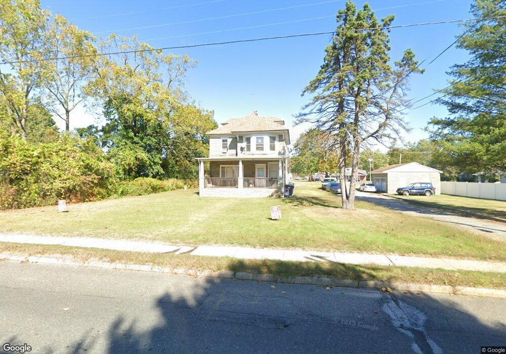
1100 S Main St Williamstown, NJ 08094
Estimated Value: $252,000 - $380,000
Studio
--
Bath
1,800
Sq Ft
$177/Sq Ft
Est. Value
About This Home
This home is located at 1100 S Main St, Williamstown, NJ 08094 and is currently estimated at $318,479, approximately $176 per square foot. 1100 S Main St is a home located in Gloucester County with nearby schools including Williamstown High School, St. Mary School, and Finest of the Wheat Christian.
Ownership History
Date
Name
Owned For
Owner Type
Purchase Details
Closed on
Jun 16, 1997
Sold by
Harley Bernstein Phyllis M and Potter Carole A
Bought by
Buriak George and Buriak Deborah
Current Estimated Value
Home Financials for this Owner
Home Financials are based on the most recent Mortgage that was taken out on this home.
Original Mortgage
$97,200
Outstanding Balance
$13,706
Interest Rate
7.81%
Estimated Equity
$304,773
Create a Home Valuation Report for This Property
The Home Valuation Report is an in-depth analysis detailing your home's value as well as a comparison with similar homes in the area
Home Values in the Area
Average Home Value in this Area
Purchase History
| Date | Buyer | Sale Price | Title Company |
|---|---|---|---|
| Buriak George | $108,000 | Freedom Title & Abstract |
Source: Public Records
Mortgage History
| Date | Status | Borrower | Loan Amount |
|---|---|---|---|
| Open | Buriak George | $97,200 |
Source: Public Records
Tax History
| Year | Tax Paid | Tax Assessment Tax Assessment Total Assessment is a certain percentage of the fair market value that is determined by local assessors to be the total taxable value of land and additions on the property. | Land | Improvement |
|---|---|---|---|---|
| 2025 | $6,548 | $178,800 | $61,800 | $117,000 |
| 2024 | $6,499 | $178,800 | $61,800 | $117,000 |
| 2023 | $6,499 | $178,800 | $61,800 | $117,000 |
| 2022 | $6,469 | $178,800 | $61,800 | $117,000 |
| 2021 | $6,508 | $178,800 | $61,800 | $117,000 |
| 2020 | $6,503 | $178,800 | $61,800 | $117,000 |
| 2019 | $6,464 | $178,800 | $61,800 | $117,000 |
| 2018 | $6,358 | $178,800 | $61,800 | $117,000 |
| 2017 | $8,008 | $226,100 | $88,400 | $137,700 |
| 2016 | $7,907 | $226,100 | $88,400 | $137,700 |
| 2015 | $7,681 | $226,100 | $88,400 | $137,700 |
| 2014 | $7,457 | $226,100 | $88,400 | $137,700 |
Source: Public Records
Map
Nearby Homes
- 49 Miracle Dr
- 921 N Beecham Rd
- 415 Stockton Loop
- 501 Stockton Dr
- 971 N Beecham Rd
- 308 Thackeray Ln
- 1018 Micawber Dr
- 0 Winslow Rd Unit NJGL2064158
- 336 Copperfield Dr
- 1054 Winslow Rd
- 520 S Main St
- 0 Walnut St
- 425 Longfellow Dr
- 543 Blue Bell Rd
- 63 Linwood Ave
- 1361 Black Horse Pike
- 910 Thoreau Ln
- 1230 Winslow Rd
- 112 Hemlock Dr
- 354 S Main St
- 2 Avery Dr
- 3 Avery Dr
- Lot 1 S Black Horse Pike
- 6 Avery Dr
- 1028 S Black Horse Pike
- 1038 S Black Horse Pike
- 7 Avery Dr
- 989 S Main St
- 996 S Black Horse Pike
- 10 Avery Dr
- 979 S Main St
- 11 Avery Dr
- 998 S Black Horse Pike
- 14 Avery Dr
- 973 S Main St
- 15 Avery Dr
- 1056 S Black Horse Pike Unit 1
- 1056 S Black Horse Pike
- 1056 S Black Horse Pike
- 18 Avery Dr
Your Personal Tour Guide
Ask me questions while you tour the home.