1100 Saint Phillips Ct Locust Grove, GA 30248
Estimated Value: $265,248 - $275,000
4
Beds
3
Baths
2,021
Sq Ft
$134/Sq Ft
Est. Value
About This Home
This home is located at 1100 Saint Phillips Ct, Locust Grove, GA 30248 and is currently estimated at $270,562, approximately $133 per square foot. 1100 Saint Phillips Ct is a home located in Henry County with nearby schools including Locust Grove Elementary School, Locust Grove Middle School, and Locust Grove High School.
Ownership History
Date
Name
Owned For
Owner Type
Purchase Details
Closed on
Feb 13, 2003
Sold by
Centex Homes
Bought by
Moore Denise O
Current Estimated Value
Home Financials for this Owner
Home Financials are based on the most recent Mortgage that was taken out on this home.
Original Mortgage
$131,929
Outstanding Balance
$56,213
Interest Rate
5.88%
Mortgage Type
FHA
Estimated Equity
$214,349
Create a Home Valuation Report for This Property
The Home Valuation Report is an in-depth analysis detailing your home's value as well as a comparison with similar homes in the area
Home Values in the Area
Average Home Value in this Area
Purchase History
| Date | Buyer | Sale Price | Title Company |
|---|---|---|---|
| Moore Denise O | $134,000 | -- |
Source: Public Records
Mortgage History
| Date | Status | Borrower | Loan Amount |
|---|---|---|---|
| Open | Moore Denise O | $131,929 |
Source: Public Records
Tax History Compared to Growth
Tax History
| Year | Tax Paid | Tax Assessment Tax Assessment Total Assessment is a certain percentage of the fair market value that is determined by local assessors to be the total taxable value of land and additions on the property. | Land | Improvement |
|---|---|---|---|---|
| 2025 | $2,868 | $110,520 | $16,000 | $94,520 |
| 2024 | $2,868 | $106,600 | $16,000 | $90,600 |
| 2023 | $2,296 | $99,880 | $16,000 | $83,880 |
| 2022 | $2,658 | $93,440 | $16,000 | $77,440 |
| 2021 | $2,063 | $68,160 | $16,000 | $52,160 |
| 2020 | $1,962 | $63,880 | $12,000 | $51,880 |
| 2019 | $1,821 | $56,960 | $10,000 | $46,960 |
| 2018 | $1,711 | $52,720 | $9,200 | $43,520 |
| 2016 | $1,410 | $44,280 | $8,000 | $36,280 |
| 2015 | $500 | $39,560 | $7,200 | $32,360 |
| 2014 | $1,100 | $35,000 | $5,600 | $29,400 |
Source: Public Records
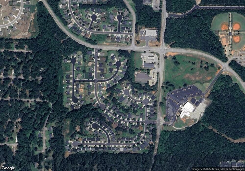
Map
Nearby Homes
- 1119 Saint Phillips Ct
- 1020 Saint Augustine Pkwy
- 1524 Queen Elizabeth Dr
- 1134 Saint Phillips Ct
- 1604 Lady Maria Ct
- 77 Rosser Ln
- 239 Ferguson Ave
- 150 Aster Ave
- Cali Plan at Cedar Ridge - Locust Grove Station
- Belfort Plan at Cedar Ridge - Locust Grove Station
- Galen Plan at Cedar Ridge - Locust Grove Station
- Hayden Plan at Cedar Ridge - Locust Grove Station
- Packard Plan at Cedar Ridge - Locust Grove Station
- Flora Plan at Cedar Ridge - Locust Grove Station
- Penwell Plan at Cedar Ridge - Locust Grove Station
- 269 Baumgard Way
- 188 Sophie Cir
- 134 Aster Ave
- 231 Ferguson Ave
- 279 Indian Creek Rd
- 1103 Saint Phillips Ct
- 1102 Saint Phillips Ct
- 1345 Saint Isabella Ct
- 1355 Saint Isabella Ct
- 1345 St Isabela Ct
- 1104 Saint Phillips Ct
- 1105 Saint Phillips Ct
- 1335 St Isabella Unit N/A
- 1335 St Isabella
- 1335 Saint Isabella Ct
- 0 Saint Isabella Ct Unit 7136046
- 0 Saint Isabella Ct Unit 8115796
- 0 Saint Isabella Ct Unit 7114179
- 0 Saint Isabella Ct
- 1365 Saint Isabella Ct
- 1106 Saint Phillips Ct
- 1107 Saint Phillips Ct
- 1109 Saint Phillips Ct
- 1108 Saint Phillips Ct
- 1340 Saint Isabella Ct