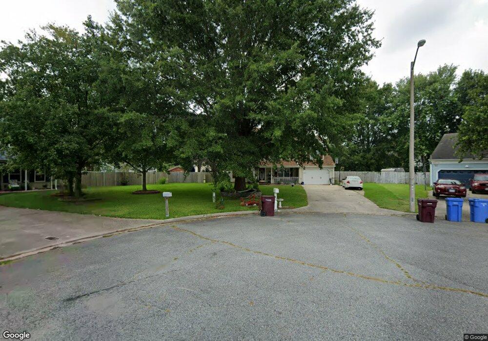
1100 Sherborn Trace Chesapeake, VA 23322
Pleasant Grove West NeighborhoodEstimated Value: $558,000 - $604,000
About This Home
This home is located at 1100 Sherborn Trace, Chesapeake, VA 23322 and is currently estimated at $583,341, approximately $215 per square foot. 1100 Sherborn Trace is a home located in Chesapeake City with nearby schools including Southeastern Elementary School, Hickory Middle School, and Hickory High School.
Ownership History
We collect this data history from publicly available records. To have your information removed, we recommend requesting removal directly through your county’s website.
Purchase Details
Home Financials for this Owner
Home Financials are based on the most recent Mortgage that was taken out on this home.Purchase Details
Home Financials for this Owner
Home Financials are based on the most recent Mortgage that was taken out on this home.Home Values in the Area
Average Home Value in this Area
Purchase History
We collect this data history from publicly available records. To have your information removed, we recommend requesting removal directly through your county’s website.
| Date | Buyer | Sale Price | Title Company |
|---|---|---|---|
| $379,000 | Title Resources Guaranty Co | ||
| $279,000 | -- |
Mortgage History
We collect this data history from publicly available records. To have your information removed, we recommend requesting removal directly through your county’s website.
| Date | Status | Borrower | Loan Amount |
|---|---|---|---|
| Open | $387,148 | ||
| Previous Owner | $223,200 |
Tax History
We collect this data history from publicly available records. To have your information removed, we recommend requesting removal directly through your county’s website.
| Year | Tax Paid | Tax Assessment Tax Assessment Total Assessment is a certain percentage of the fair market value that is determined by local assessors to be the total taxable value of land and additions on the property. | Land | Improvement |
|---|---|---|---|---|
| 2025 | $5,449 | $539,500 | $185,000 | $354,500 |
| 2024 | $5,257 | $520,500 | $185,000 | $335,500 |
| 2023 | $4,594 | $503,300 | $175,000 | $328,300 |
| 2022 | $4,603 | $455,700 | $150,000 | $305,700 |
| 2021 | $4,089 | $389,400 | $135,000 | $254,400 |
| 2020 | $3,969 | $378,000 | $125,000 | $253,000 |
| 2019 | $3,870 | $368,600 | $125,000 | $243,600 |
| 2018 | $3,639 | $346,600 | $125,000 | $221,600 |
| 2017 | $3,455 | $329,000 | $125,000 | $204,000 |
| 2016 | $3,288 | $313,100 | $115,000 | $198,100 |
| 2015 | $3,183 | $303,100 | $105,000 | $198,100 |
| 2014 | $3,123 | $297,400 | $105,000 | $192,400 |
Map
- 608 Woodcott Dr
- 711 Waterstock Ct
- 816 Woodcott Dr
- 1103 Northmoor Ct
- 1028 Ramsgate Ln
- 517 Woodards Ford Rd
- 608 Ravenstone Dr
- 521 Woodards Ford Rd
- 923 Blackthorne Dr
- 1225 Woodstream Ct
- 707 River Gate Ct
- 404 Forest Rd
- 809 Grantham Ln
- 540 Aylesbury Dr
- 1307 Old Coach Rd
- 408 Mill Stone Rd
- 401 White Egret Cove
- 815 Denham Arch
- 804 Greenspring Ct
- 700 Sarasota Arch
- 1104 Sherborn Trace
- 1101 Sherborn Trace
- 1237 Fernham Ln
- 1233 Fernham Ln
- 1108 Sherborn Trace
- 1205 Villa Ct
- 1105 Sherborn Trace
- 1241 Fernham Ln
- 1229 Fernham Ln
- 1204 Villa Ct
- 1109 Sherborn Trace
- 1112 Sherborn Trace
- 1225 Fernham Ln
- 700 Aspinock St
- 1236 Fernham Ln
- 715 Villa Dr
- 704 Aspinock St
- 1200 Villa Ct
- 1232 Fernham Ln
- 1113 Sherborn Trace
Ask me questions while you tour the home.