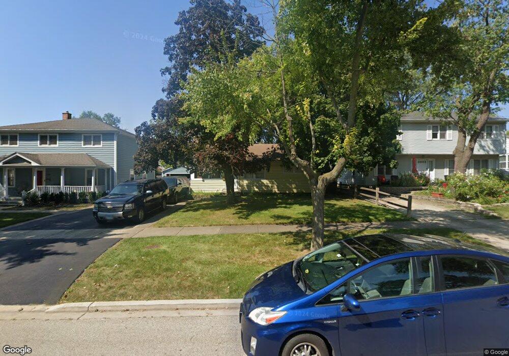
1100 Somerset Ave Deerfield, IL 60015
Estimated Value: $387,000 - $440,000
3
Beds
2
Baths
936
Sq Ft
$443/Sq Ft
Est. Value
About This Home
This home is located at 1100 Somerset Ave, Deerfield, IL 60015 and is currently estimated at $414,729, approximately $443 per square foot. 1100 Somerset Ave is a home located in Lake County with nearby schools including Walden Elementary School, Alan B Shepard Middle School, and Deerfield High School.
Ownership History
Date
Name
Owned For
Owner Type
Purchase Details
Closed on
Oct 3, 1997
Sold by
Dahms Charles D
Bought by
Dahms Charles D and Dahms Janice M
Current Estimated Value
Home Financials for this Owner
Home Financials are based on the most recent Mortgage that was taken out on this home.
Original Mortgage
$131,250
Interest Rate
7.7%
Create a Home Valuation Report for This Property
The Home Valuation Report is an in-depth analysis detailing your home's value as well as a comparison with similar homes in the area
Home Values in the Area
Average Home Value in this Area
Purchase History
| Date | Buyer | Sale Price | Title Company |
|---|---|---|---|
| Dahms Charles D | -- | Chicago Title Insurance Co |
Source: Public Records
Mortgage History
| Date | Status | Borrower | Loan Amount |
|---|---|---|---|
| Closed | Dahms Charles D | $131,250 |
Source: Public Records
Tax History Compared to Growth
Tax History
| Year | Tax Paid | Tax Assessment Tax Assessment Total Assessment is a certain percentage of the fair market value that is determined by local assessors to be the total taxable value of land and additions on the property. | Land | Improvement |
|---|---|---|---|---|
| 2024 | $7,705 | $93,619 | $33,094 | $60,525 |
| 2023 | $7,256 | $89,845 | $31,760 | $58,085 |
| 2022 | $7,256 | $82,553 | $34,114 | $48,439 |
| 2021 | $6,834 | $79,592 | $32,890 | $46,702 |
| 2020 | $6,573 | $79,759 | $32,959 | $46,800 |
| 2019 | $7,093 | $87,277 | $32,903 | $54,374 |
| 2018 | $6,881 | $87,606 | $34,874 | $52,732 |
| 2017 | $6,777 | $87,327 | $34,763 | $52,564 |
| 2016 | $6,580 | $84,024 | $33,448 | $50,576 |
| 2015 | $6,426 | $78,947 | $31,427 | $47,520 |
| 2014 | $5,844 | $71,432 | $31,652 | $39,780 |
| 2012 | $5,714 | $70,802 | $31,373 | $39,429 |
Source: Public Records
Map
Nearby Homes
- 1045 Fairoaks Ave
- 1103 Hazel Ave
- 934 Wayne Ave
- 970 Ivy Ln Unit C
- 1131 Linden Ave
- 904 Forest Ave
- 926 Cedar St
- 745 Price Ln
- 1410 Berkley Ct
- 1265 Woodland Dr
- 1423 Northwoods Rd
- 816 Appletree Ln
- 1504 Wincanton Dr
- 677 Timber Hill Rd
- 1119 Hampton Ct Unit 1
- 1009 Central Ave
- 1038 Brookside Ln
- 956 Brookside Ln
- 1660 Hertel Ln
- 1620 Berkeley Ct
- 1060 Somerset Ave
- 1104 Somerset Ave
- 1110 Somerset Ave
- 1056 Somerset Ave
- 1101 Fairoaks Ave
- 1105 Fairoaks Ave
- 1067 Fairoaks Ave
- 1101 Fair Oaks Ave
- 1056 Sheridan Rd
- 1111 Fairoaks Ave
- 1055 Oakley Ave
- 1059 Fairoaks Ave
- 1055 Fairoaks Ave
- 1050 Sheridan Rd
- 1044 Somerset Ave
- 1118 Somerset Ave
- 1049 Oakley Ave
- 1106 Oakley Ave
- 1051 Fairoaks Ave
- 1046 Sheridan Rd