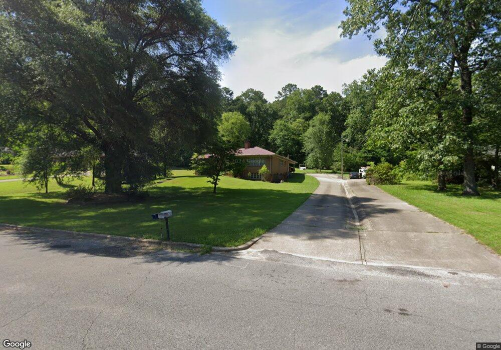
1100 Valley Rd Jasper, AL 35501
Estimated Value: $242,789 - $339,000
Studio
1
Bath
2,066
Sq Ft
$133/Sq Ft
Est. Value
About This Home
This home is located at 1100 Valley Rd, Jasper, AL 35501 and is currently estimated at $273,947, approximately $132 per square foot. 1100 Valley Rd is a home located in Walker County with nearby schools including T. R. Simmons Elementary School, Maddox Intermediate School, and Memorial Park Elementary School.
Ownership History
Date
Name
Owned For
Owner Type
Purchase Details
Closed on
Feb 20, 2014
Sold by
Able Sara Elizabeth and Able Sara Earnest
Bought by
Federal National Mortgage Association
Current Estimated Value
Purchase Details
Closed on
Nov 20, 2007
Sold by
Cunningham Bill
Bought by
Maple Linda Carol
Home Financials for this Owner
Home Financials are based on the most recent Mortgage that was taken out on this home.
Original Mortgage
$115,000
Interest Rate
6.29%
Create a Home Valuation Report for This Property
The Home Valuation Report is an in-depth analysis detailing your home's value as well as a comparison with similar homes in the area
Home Values in the Area
Average Home Value in this Area
Purchase History
| Date | Buyer | Sale Price | Title Company |
|---|---|---|---|
| Federal National Mortgage Association | -- | -- | |
| Maple Linda Carol | -- | -- |
Source: Public Records
Mortgage History
| Date | Status | Borrower | Loan Amount |
|---|---|---|---|
| Previous Owner | Maple Linda Carol | $115,000 |
Source: Public Records
Tax History
| Year | Tax Paid | Tax Assessment Tax Assessment Total Assessment is a certain percentage of the fair market value that is determined by local assessors to be the total taxable value of land and additions on the property. | Land | Improvement |
|---|---|---|---|---|
| 2024 | $822 | $24,780 | $1,500 | $23,280 |
| 2023 | $991 | $22,100 | $1,500 | $20,600 |
| 2022 | $0 | $18,640 | $1,500 | $17,140 |
| 2021 | $0 | $17,154 | $1,500 | $15,654 |
| 2020 | $0 | $17,160 | $1,500 | $15,660 |
| 2019 | $0 | $16,420 | $1,500 | $14,920 |
| 2018 | $0 | $15,880 | $1,500 | $14,380 |
| 2017 | $0 | $15,880 | $1,500 | $14,380 |
| 2016 | $0 | $15,880 | $1,500 | $14,380 |
| 2015 | $491 | $15,180 | $1,500 | $13,680 |
| 2014 | -- | $14,920 | $1,500 | $13,420 |
| 2013 | -- | $14,920 | $1,500 | $13,420 |
Source: Public Records
Map
Nearby Homes
- 1200 Valley Rd
- 0 College Hill Rd
- 1101 S Walston Bridge Rd
- 1301 S Walston Bridge Rd
- 1506 Gamble Ave
- 1004 Quarry Hill Rd
- 1705 Gamble Ave
- 707 Highland Ave
- 607 Highland Ave
- 605 18th St E
- 21 Lancelot Cove
- 64 Lancelot Cove
- 88 Lancelot Cove
- 0 Airport Rd S Unit 14-1278
- 0 Airport Rd S Unit 14-1276
- 0 Airport Rd S Unit 11400018
- 0 Airport Rd S Unit 14-1277
- 605 20th St E
- 401 18th St E
- 1209 Alabama Ave
- 1012 Valley Rd
- 1104 Valley Rd
- 1104 Valley Rd
- 1010 Valley Rd
- 1106 Valley Rd
- 1101 College Hill Rd
- 1101 Valley Rd
- 1007 Valley Rd
- 1007 Valley Rd
- 1007 Valley Rd
- 1000 Valley Rd
- 1000 Valley Rd
- 1103 Valley Rd
- 1005 Valley Rd
- 1205 College Hill Rd
- 1105 Valley Rd
- 0 Water Tank Rd Unit 49
- 1106 College Hill Rd
- 1003 Valley Rd
- 1003 Valley Rd