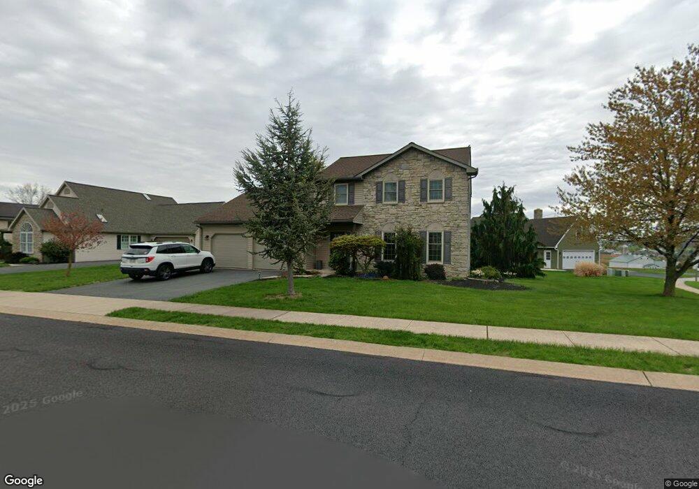
1100 Village Cir Denver, PA 17517
Estimated Value: $397,000 - $413,019
3
Beds
3
Baths
1,949
Sq Ft
$208/Sq Ft
Est. Value
About This Home
This home is located at 1100 Village Cir, Denver, PA 17517 and is currently estimated at $405,255, approximately $207 per square foot. 1100 Village Cir is a home located in Lancaster County with nearby schools including Garden Spot Middle School, Garden Spot Senior High School, and Muddy Creek Christian School.
Ownership History
Date
Name
Owned For
Owner Type
Purchase Details
Closed on
Aug 26, 1998
Sold by
Kline Randal V and Snader Philip L
Bought by
Brace George F and Brace Carey D
Current Estimated Value
Home Financials for this Owner
Home Financials are based on the most recent Mortgage that was taken out on this home.
Original Mortgage
$133,750
Outstanding Balance
$28,571
Interest Rate
6.9%
Estimated Equity
$376,684
Create a Home Valuation Report for This Property
The Home Valuation Report is an in-depth analysis detailing your home's value as well as a comparison with similar homes in the area
Home Values in the Area
Average Home Value in this Area
Purchase History
| Date | Buyer | Sale Price | Title Company |
|---|---|---|---|
| Brace George F | $148,650 | Lawyers Title Insurance Corp |
Source: Public Records
Mortgage History
| Date | Status | Borrower | Loan Amount |
|---|---|---|---|
| Open | Brace George F | $133,750 |
Source: Public Records
Tax History Compared to Growth
Tax History
| Year | Tax Paid | Tax Assessment Tax Assessment Total Assessment is a certain percentage of the fair market value that is determined by local assessors to be the total taxable value of land and additions on the property. | Land | Improvement |
|---|---|---|---|---|
| 2025 | $3,573 | $207,600 | $47,300 | $160,300 |
| 2024 | $3,573 | $207,600 | $47,300 | $160,300 |
| 2023 | $3,500 | $207,600 | $47,300 | $160,300 |
| 2022 | $3,439 | $207,600 | $47,300 | $160,300 |
| 2021 | $3,267 | $207,600 | $47,300 | $160,300 |
| 2020 | $3,267 | $207,600 | $47,300 | $160,300 |
| 2019 | $3,229 | $207,600 | $47,300 | $160,300 |
| 2018 | $5,014 | $207,600 | $47,300 | $160,300 |
| 2017 | $3,066 | $161,000 | $35,200 | $125,800 |
| 2016 | $3,066 | $161,000 | $35,200 | $125,800 |
| 2015 | $645 | $161,000 | $35,200 | $125,800 |
| 2014 | $2,256 | $161,000 | $35,200 | $125,800 |
Source: Public Records
Map
Nearby Homes
- 534 High Point Dr
- 602 Greenview Dr
- 111 Oatfield Dr
- 117 Hawk Valley Ln Unit 105
- 101 Hawk Valley Ln
- Bridgemont Plan at Hawk Valley Estates
- Sullivan Plan at Hawk Valley Estates
- Silverbrooke Plan at Hawk Valley Estates
- Wesley Plan at Hawk Valley Estates
- Kingston Plan at Hawk Valley Estates
- Logan Plan at Hawk Valley Estates
- Brookfield Plan at Hawk Valley Estates
- Westbrooke Plan at Hawk Valley Estates
- Berkley Plan at Hawk Valley Estates
- Callahan Plan at Hawk Valley Estates
- 55 Hawk Valley Ln
- 01 W Valley Rd
- 346 Aplomado St
- 32 Hawk Valley Ln
- 256 W Valley Rd
- 1104 Village Cir
- 500 High Point Dr
- 503 High Point Dr
- 1101 Village Cir
- 1108 Village Cir
- 507 High Point Dr
- 520 W Maple Grove Rd
- 1105 Village Cir
- 511 High Point Dr
- 1112 Village Cir
- 516 High Point Dr
- 1113 Village Cir
- 529 W Maple Grove Rd
- 526 High Point Dr
- 534 W Maple Grove Rd
- 1114 Village Cir
- 1129 Village Cir
- 515 High Point Dr
- 1118 Village Cir
- 519 High Point Dr