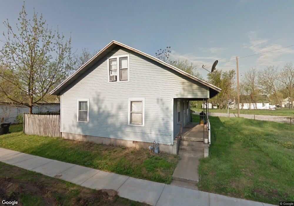
1100 W Locust St Springfield, MO 65803
Woodland Heights NeighborhoodEstimated Value: $131,000 - $152,000
3
Beds
2
Baths
1,334
Sq Ft
$105/Sq Ft
Est. Value
About This Home
This home is located at 1100 W Locust St, Springfield, MO 65803 and is currently estimated at $140,667, approximately $105 per square foot. 1100 W Locust St is a home located in Greene County with nearby schools including Weaver Elementary School, Pipkin Middle School, and Central High School.
Ownership History
Date
Name
Owned For
Owner Type
Purchase Details
Closed on
Jul 30, 2024
Sold by
H & M Properties & Investments Llc
Bought by
Redec Llc
Current Estimated Value
Purchase Details
Closed on
Apr 30, 2021
Sold by
Austin Rex Allen and Austin Sara
Bought by
H & M Properties & Investments Llc
Purchase Details
Closed on
Apr 29, 2021
Sold by
Austin Rex Allen and Austin Sara
Bought by
H & M Properties & Investments Llc
Purchase Details
Closed on
Nov 24, 2005
Sold by
Mansfield Livestock Auction Co Inc
Bought by
Austin Kenneth W
Create a Home Valuation Report for This Property
The Home Valuation Report is an in-depth analysis detailing your home's value as well as a comparison with similar homes in the area
Home Values in the Area
Average Home Value in this Area
Purchase History
| Date | Buyer | Sale Price | Title Company |
|---|---|---|---|
| Redec Llc | -- | None Listed On Document | |
| H & M Properties & Investments Llc | -- | None Listed On Document | |
| H & M Properties & Investments Llc | -- | None Available | |
| Austin Kenneth W | -- | None Available |
Source: Public Records
Tax History
| Year | Tax Paid | Tax Assessment Tax Assessment Total Assessment is a certain percentage of the fair market value that is determined by local assessors to be the total taxable value of land and additions on the property. | Land | Improvement |
|---|---|---|---|---|
| 2025 | $876 | $17,580 | $2,660 | $14,920 |
| 2024 | $236 | $4,390 | $2,360 | $2,030 |
| 2023 | $234 | $4,390 | $2,360 | $2,030 |
| 2022 | $220 | $4,030 | $2,360 | $1,670 |
| 2021 | $220 | $10,510 | $2,360 | $8,150 |
| 2020 | $592 | $10,360 | $2,360 | $8,000 |
| 2019 | $575 | $10,360 | $2,360 | $8,000 |
| 2018 | $400 | $7,210 | $2,360 | $4,850 |
| 2017 | $396 | $7,240 | $2,360 | $4,880 |
| 2016 | $397 | $7,240 | $2,360 | $4,880 |
| 2015 | $393 | $7,240 | $2,360 | $4,880 |
| 2014 | $396 | $7,240 | $2,360 | $4,880 |
Source: Public Records
Map
Nearby Homes
- 1105 W Division St
- 1027 W Division St
- 1110 W Division St
- 1056 W Commercial St
- 1026 W Division St
- 1042 W Commercial St
- 1026 W Commercial St
- 1447 N Broadway Ave
- 944 W Division St
- 1450 N Broadway Ave
- 1139 W Lynn St
- 1120 W Hamilton St
- 716 W Division St
- 1411 W Lynn St
- 1305 N Irving Ave
- 1121 W Florida St
- 1225 W Florida St
- 1502 N Grant Ave
- 1886 N Fort Ave
- 626 W Division St
- 1036 W Locust St
- 1101 W Division St
- 1113 W Division St
- 1035 W Division St
- 1120 W Locust St
- 1033 W Division St
- 1026 W Locust St
- 1126 W Locust St
- 1123 W Division St
- 1107 W Locust St
- 1020 W Locust St
- 1021 W Division St
- 1111 W Locust St
- 1115 W Locust St
- 1017 W Division St
- 1134 W Locust St
- 000 W Locust Lot 39 St
- 1127 W Locust St
- 1100 W Division St
- 1106 W Division St
Your Personal Tour Guide
Ask me questions while you tour the home.