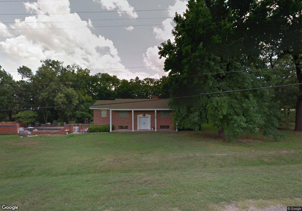
1100 W Ray Branum Rd Tishomingo, OK 73460
Estimated Value: $302,861 - $427,000
4
Beds
3
Baths
3,704
Sq Ft
$97/Sq Ft
Est. Value
About This Home
This home is located at 1100 W Ray Branum Rd, Tishomingo, OK 73460 and is currently estimated at $357,715, approximately $96 per square foot. 1100 W Ray Branum Rd is a home located in Johnston County with nearby schools including Tishomingo Elementary School, Tishomingo Middle School, and Tishomingo High School.
Ownership History
Date
Name
Owned For
Owner Type
Purchase Details
Closed on
Jun 14, 2024
Sold by
Hurst Vernon and Hurst Claudette
Bought by
Braswell Maxine
Current Estimated Value
Home Financials for this Owner
Home Financials are based on the most recent Mortgage that was taken out on this home.
Original Mortgage
$347,310
Outstanding Balance
$342,937
Interest Rate
7.09%
Mortgage Type
VA
Estimated Equity
$14,778
Create a Home Valuation Report for This Property
The Home Valuation Report is an in-depth analysis detailing your home's value as well as a comparison with similar homes in the area
Home Values in the Area
Average Home Value in this Area
Purchase History
| Date | Buyer | Sale Price | Title Company |
|---|---|---|---|
| Braswell Maxine | $340,000 | American Eagle Title |
Source: Public Records
Mortgage History
| Date | Status | Borrower | Loan Amount |
|---|---|---|---|
| Open | Braswell Maxine | $347,310 |
Source: Public Records
Tax History Compared to Growth
Tax History
| Year | Tax Paid | Tax Assessment Tax Assessment Total Assessment is a certain percentage of the fair market value that is determined by local assessors to be the total taxable value of land and additions on the property. | Land | Improvement |
|---|---|---|---|---|
| 2024 | $1,507 | $17,545 | $1,749 | $15,796 |
| 2023 | $1,507 | $17,035 | $1,633 | $15,402 |
| 2022 | $1,374 | $16,538 | $1,520 | $15,018 |
| 2021 | $1,061 | $16,057 | $1,448 | $14,609 |
| 2020 | $948 | $14,107 | $1,216 | $12,891 |
| 2019 | $942 | $13,696 | $1,193 | $12,503 |
| 2018 | $927 | $13,298 | $1,173 | $12,125 |
| 2017 | $896 | $12,910 | $1,146 | $11,764 |
| 2016 | $872 | $12,534 | $1,101 | $11,433 |
| 2015 | $867 | $12,169 | $1,101 | $11,068 |
| 2014 | $766 | $12,169 | $1,101 | $11,068 |
Source: Public Records
Map
Nearby Homes
- 11725 S Pecan Bottom Rd
- 52 Copperhead Rd
- 209 S Muldrow St
- 3703 E Simpson Ln
- 506 E Neil Armstrong Place
- 301 N Maytubby St
- 104 N Johnston St
- 000 N Highway 48 Hwy
- 203 N Broadway St
- 108 Deadwood Dr
- 55 Tumbleweed Trail
- 59 Tombstone Trail
- 306 S Kemp Ave
- 207 Faculty Dr
- 1500 E Hankins Ln
- 1334 N Kemp Ave
- 4375 Oklahoma 78
- 0 S Preston Rd
- 1303 E Cheadle Rd
- 6 Brandy Ln
- 2200 Ok Highway 22 E
- 1501 Ok Highway 78 E
- 1700 Ok Highway 78 E
- 854 Ok Highway 22 E
- 1701 Ok Highway 78 E
- 1801 Ok Highway 78 E
- 1807 Ok Highway 78 E
- 9898 S Bullard Chapel Rd
- 10102 S Bullard Chapel Rd
- 1901 Ok Highway 78 E
- 1905 Ok Highway 78 E
- 9707 S Bullard Chapel Rd
- 9609 S Bullard Chapel Rd
- 9559 S Bullard Chapel Rd
- 9900 S Spence Ln
- 114 S Spence Ln
- 9445 S Bullard Chapel Rd