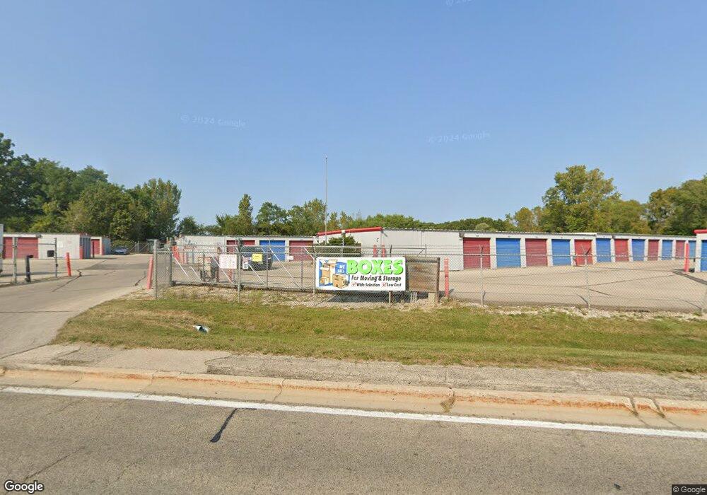
1100 W Rollins Rd Round Lake Beach, IL 60073
Estimated Value: $1,907,741
--
Bed
--
Bath
--
Sq Ft
11.5
Acres
About This Home
This home is located at 1100 W Rollins Rd, Round Lake Beach, IL 60073 and is currently estimated at $1,907,741. 1100 W Rollins Rd is a home located in Lake County with nearby schools including Indian Hill Elementary School, Round Lake Middle School, and Round Lake High School.
Ownership History
Date
Name
Owned For
Owner Type
Purchase Details
Closed on
Dec 30, 2011
Sold by
Safeway Storage Inc
Bought by
Lake County Storage Llc
Current Estimated Value
Home Financials for this Owner
Home Financials are based on the most recent Mortgage that was taken out on this home.
Original Mortgage
$765,000
Interest Rate
3.97%
Mortgage Type
Commercial
Create a Home Valuation Report for This Property
The Home Valuation Report is an in-depth analysis detailing your home's value as well as a comparison with similar homes in the area
Home Values in the Area
Average Home Value in this Area
Purchase History
| Date | Buyer | Sale Price | Title Company |
|---|---|---|---|
| Lake County Storage Llc | $875,000 | None Available |
Source: Public Records
Mortgage History
| Date | Status | Borrower | Loan Amount |
|---|---|---|---|
| Closed | Lake County Storage Llc | $765,000 |
Source: Public Records
Tax History Compared to Growth
Tax History
| Year | Tax Paid | Tax Assessment Tax Assessment Total Assessment is a certain percentage of the fair market value that is determined by local assessors to be the total taxable value of land and additions on the property. | Land | Improvement |
|---|---|---|---|---|
| 2024 | $62,706 | $733,871 | $287,580 | $446,291 |
| 2023 | $61,169 | $673,524 | $263,932 | $409,592 |
| 2022 | $61,169 | $643,966 | $260,334 | $383,632 |
| 2021 | $65,472 | $618,960 | $250,225 | $368,735 |
| 2020 | $63,021 | $588,925 | $238,083 | $350,842 |
| 2019 | $61,585 | $565,025 | $228,421 | $336,604 |
| 2018 | $52,499 | $417,472 | $367,129 | $50,343 |
| 2017 | $51,656 | $392,693 | $345,338 | $47,355 |
| 2016 | $50,128 | $362,497 | $318,783 | $43,714 |
| 2015 | $49,491 | $331,168 | $291,232 | $39,936 |
| 2014 | $44,429 | $310,202 | $237,749 | $72,453 |
| 2012 | $43,640 | $323,971 | $248,302 | $75,669 |
Source: Public Records
Map
Nearby Homes
- 1813 Tomahawk Trail
- 933 Tomahawk Trail
- 908 Flintwood Ct
- 930 N Fairfield Rd
- 24530 W Lake Shore Dr
- 1615 Cherokee Dr
- 1724 Lotus Dr
- 2146 Prairie Trail
- 24731 W Orchard Place
- 862 Chesapeake Trail
- 1503 Cherokee Dr
- 1506 Brentwood Dr
- 24536 W Stub Ave
- 24967 W Clinton Ave
- 24513 W Stub Ave
- 24570 W Blackcherry Ln
- 35611 N Grove Ave
- 2292 Iroquois Ln
- 25018 W Lake Shore Dr
- 525 Meadow Green Ln Unit 5
- 1020 W Rollins Rd
- 24321 W Rollins Rd
- 960 W Rollins Rd
- 1828 Tomahawk Trail
- 1820 Tomahawk Trail
- 1832 Tomahawk Trail
- 1816 Tomahawk Trail
- 1812 Tomahawk Trail
- 1808 Tomahawk Trail
- 1804 Tomahawk Trail
- 936 W Rollins Rd
- 934 W Rollins Rd
- 1800 Tomahawk Trail
- 920 Warrior St
- 1728 Tomahawk Trail
- 1825 Tomahawk Trail
- 1821 Tomahawk Trail
- 930 W Rollins Rd
- 932 W Rollins Rd
- 1817 Tomahawk Trail