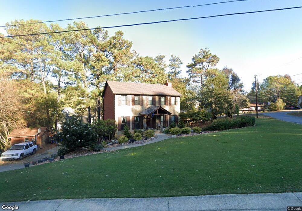
1100 Walnut Cir Alabaster, AL 35007
Estimated Value: $307,000 - $332,000
--
Bed
2
Baths
2,016
Sq Ft
$160/Sq Ft
Est. Value
About This Home
This home is located at 1100 Walnut Cir, Alabaster, AL 35007 and is currently estimated at $321,839, approximately $159 per square foot. 1100 Walnut Cir is a home located in Shelby County with nearby schools including Thompson Intermediate School, Thompson Middle School, and Thompson High School.
Ownership History
Date
Name
Owned For
Owner Type
Purchase Details
Closed on
Mar 25, 2004
Sold by
Miller Jeffrey D and Miller Rachel M
Bought by
Knight Robert J and Knight Kendall L
Current Estimated Value
Home Financials for this Owner
Home Financials are based on the most recent Mortgage that was taken out on this home.
Original Mortgage
$136,800
Outstanding Balance
$57,404
Interest Rate
4.12%
Mortgage Type
Unknown
Estimated Equity
$264,435
Purchase Details
Closed on
Feb 28, 2001
Sold by
Sherman Henry W and Sherman Virginia R
Bought by
Miller Jeffrey D
Home Financials for this Owner
Home Financials are based on the most recent Mortgage that was taken out on this home.
Original Mortgage
$114,800
Interest Rate
7.09%
Create a Home Valuation Report for This Property
The Home Valuation Report is an in-depth analysis detailing your home's value as well as a comparison with similar homes in the area
Home Values in the Area
Average Home Value in this Area
Purchase History
| Date | Buyer | Sale Price | Title Company |
|---|---|---|---|
| Knight Robert J | $152,000 | -- | |
| Miller Jeffrey D | $143,500 | -- |
Source: Public Records
Mortgage History
| Date | Status | Borrower | Loan Amount |
|---|---|---|---|
| Open | Knight Robert J | $136,800 | |
| Closed | Miller Jeffrey D | $114,800 |
Source: Public Records
Tax History Compared to Growth
Tax History
| Year | Tax Paid | Tax Assessment Tax Assessment Total Assessment is a certain percentage of the fair market value that is determined by local assessors to be the total taxable value of land and additions on the property. | Land | Improvement |
|---|---|---|---|---|
| 2024 | $1,523 | $28,200 | $0 | $0 |
| 2023 | $1,351 | $25,780 | $0 | $0 |
| 2022 | $1,263 | $24,140 | $0 | $0 |
| 2021 | $1,106 | $21,240 | $0 | $0 |
| 2020 | $1,039 | $20,000 | $0 | $0 |
| 2019 | $960 | $18,540 | $0 | $0 |
| 2017 | $903 | $17,480 | $0 | $0 |
| 2015 | $861 | $16,700 | $0 | $0 |
| 2014 | $839 | $16,300 | $0 | $0 |
Source: Public Records
Map
Nearby Homes
- 1910 Amberley Woods Trail
- 1909 Amberley Woods Trail
- 1117 Amberley Woods Dr
- 105 Acorn Cir
- 1445 Sequoia Trail
- 1121 Colonial Dr
- 152 Roy Ct
- 2916 Dublin Dr N
- 1514 Timber Dr
- 100 Cape Cod Cir
- 231 Hickory Point Ln
- 6025 Woodvale Ct
- 2236 Pup Run
- 2234 Pup Run
- 204 Portsouth Ln
- 1445 Navajo Trail
- 225 Portsouth Ln
- 2212 Pup Run
- 207 Rocky Ridge Dr
- 905 Navajo Trail
- 1205 Ash Cove
- 1207 Ash Cove
- 1102 Walnut Cir
- 1062 Independence Ct
- 1060 Independence Ct
- 1203 Ash Cove
- 1209 Ash Cove
- 1104 Walnut Cir
- 1101 Walnut Cir
- 1058 Independence Ct
- 1210 Ash Cove
- 1208 Ash Cove
- 1206 Ash Cove
- 1057 Independence Ct
- 1056 Independence Ct
- 1917 Amberley Woods Trail
- 1133 Independence Dr
- 1103 Walnut Cir
- 1817 Amberley Woods Way
- 1204 Ash Cove