11003 Abood Ct Upper Marlboro, MD 20772
Estimated Value: $556,571 - $756,000
--
Bed
1
Bath
2,496
Sq Ft
$262/Sq Ft
Est. Value
About This Home
This home is located at 11003 Abood Ct, Upper Marlboro, MD 20772 and is currently estimated at $653,643, approximately $261 per square foot. 11003 Abood Ct is a home located in Prince George's County with nearby schools including Mattaponi Elementary School, Gwynn Park Middle School, and Frederick Douglass High School.
Ownership History
Date
Name
Owned For
Owner Type
Purchase Details
Closed on
Dec 19, 2018
Sold by
D R Horton Inc
Bought by
Holmes Ivan W and Holmes Myala D
Current Estimated Value
Home Financials for this Owner
Home Financials are based on the most recent Mortgage that was taken out on this home.
Original Mortgage
$444,555
Outstanding Balance
$392,211
Interest Rate
4.87%
Mortgage Type
FHA
Estimated Equity
$261,433
Create a Home Valuation Report for This Property
The Home Valuation Report is an in-depth analysis detailing your home's value as well as a comparison with similar homes in the area
Home Values in the Area
Average Home Value in this Area
Purchase History
| Date | Buyer | Sale Price | Title Company |
|---|---|---|---|
| Holmes Ivan W | $452,757 | Residential Title & Escrow C |
Source: Public Records
Mortgage History
| Date | Status | Borrower | Loan Amount |
|---|---|---|---|
| Open | Holmes Ivan W | $444,555 |
Source: Public Records
Tax History Compared to Growth
Tax History
| Year | Tax Paid | Tax Assessment Tax Assessment Total Assessment is a certain percentage of the fair market value that is determined by local assessors to be the total taxable value of land and additions on the property. | Land | Improvement |
|---|---|---|---|---|
| 2025 | $7,211 | $522,100 | $127,400 | $394,700 |
| 2024 | $7,211 | $491,533 | $0 | $0 |
| 2023 | $6,769 | $460,967 | $0 | $0 |
| 2022 | $6,327 | $430,400 | $102,400 | $328,000 |
| 2021 | $6,224 | $423,267 | $0 | $0 |
| 2020 | $6,121 | $416,133 | $0 | $0 |
| 2019 | $5,857 | $409,000 | $101,200 | $307,800 |
| 2018 | $866 | $57,133 | $0 | $0 |
| 2017 | $316 | $38,067 | $0 | $0 |
| 2016 | -- | $19,000 | $0 | $0 |
| 2015 | $264 | $19,000 | $0 | $0 |
| 2014 | $264 | $19,000 | $0 | $0 |
Source: Public Records
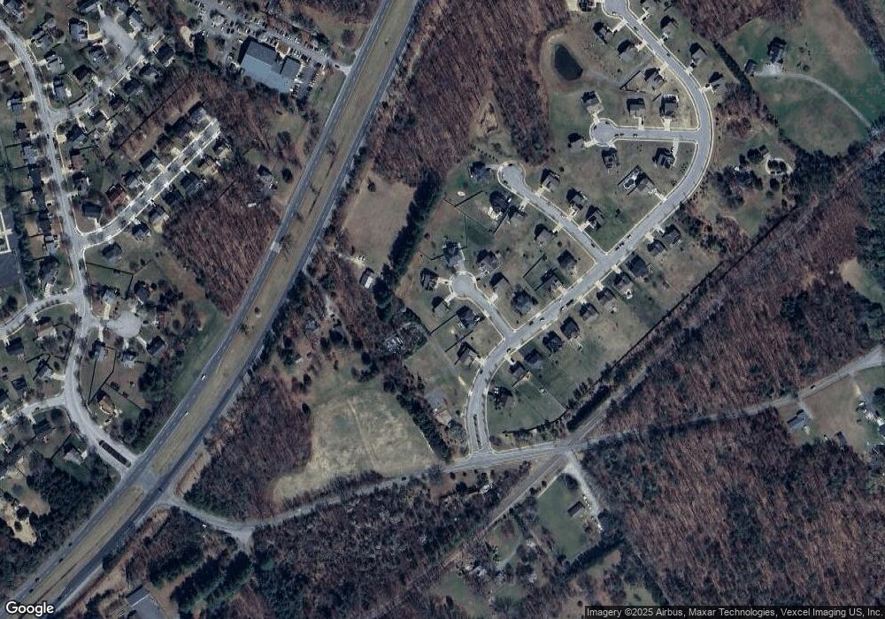
Map
Nearby Homes
- 10830 Old Indian Head Rd
- 10707 Heatherleigh Dr
- 0 Old Indian Head Rd Unit MDPG2165760
- 10411 Old Indian Head Rd
- 10604 Nast Dr
- Parcel 85 Old Indian Head Rd
- 11715 Cheltenham Rd
- 11401 Van Brady Rd
- 10005 Old Indian Head Rd
- 11470 Duley Station Rd
- 10305 Beaver Knoll Dr
- 9716 Penguin Place
- 11707 Medallion Terrace
- 10406 Basel Dr
- 10107 Spring Water Ln
- 9901 Toucan Dr
- 10011 Dakin Ct
- 10019 Graystone Dr
- 9904 Rosaryville Rd
- 12118 Sand Wedge Ln
- 11005 Abood Ct
- 11001 Abood Ct
- 10813 Furgang Rd
- 10811 Furgang Rd
- 11000 Abood Ct
- 11008 Furgang Rd
- 11004 Abood Ct
- 11002 Abood Ct
- 10805 Furgang Rd
- 10825 Furgang Rd
- 0 Furgang Rd Unit PG7976593
- 0 Furgang Rd Unit PG7697166
- 0 Furgang Rd Unit PG7697197
- 0 Furgang Rd Unit PG7697160
- 0 Furgang Rd Unit PG7697181
- 0 Furgang Rd Unit 1009731080
- 0 Furgang Rd Unit 1009718680
- 0 Furgang Rd Unit 1009464944
- 0 Furgang Rd Unit 1009464830
- 0 Furgang Rd Unit 1009464820