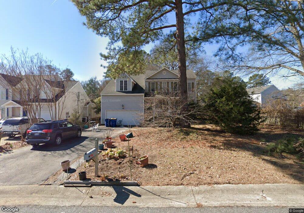
11004 Heathstead Rd Chester, VA 23831
Estimated Value: $381,000 - $391,858
4
Beds
3
Baths
2,004
Sq Ft
$193/Sq Ft
Est. Value
About This Home
This home is located at 11004 Heathstead Rd, Chester, VA 23831 and is currently estimated at $386,215, approximately $192 per square foot. 11004 Heathstead Rd is a home located in Chesterfield County with nearby schools including C E Curtis Elementary School, Bellwood Elementary School, and Elizabeth Davis Middle School.
Ownership History
Date
Name
Owned For
Owner Type
Purchase Details
Closed on
Sep 29, 1997
Bought by
Wilson Rodney D and Wilson Chanthee
Current Estimated Value
Home Financials for this Owner
Home Financials are based on the most recent Mortgage that was taken out on this home.
Original Mortgage
$128,200
Outstanding Balance
$20,633
Interest Rate
7.47%
Mortgage Type
New Conventional
Estimated Equity
$365,582
Create a Home Valuation Report for This Property
The Home Valuation Report is an in-depth analysis detailing your home's value as well as a comparison with similar homes in the area
Home Values in the Area
Average Home Value in this Area
Purchase History
| Date | Buyer | Sale Price | Title Company |
|---|---|---|---|
| Wilson Rodney D | $135,000 | -- |
Source: Public Records
Mortgage History
| Date | Status | Borrower | Loan Amount |
|---|---|---|---|
| Open | Wilson Rodney D | $128,200 |
Source: Public Records
Tax History
| Year | Tax Paid | Tax Assessment Tax Assessment Total Assessment is a certain percentage of the fair market value that is determined by local assessors to be the total taxable value of land and additions on the property. | Land | Improvement |
|---|---|---|---|---|
| 2025 | $3,076 | $342,800 | $62,000 | $280,800 |
| 2024 | $3,076 | $335,600 | $60,000 | $275,600 |
| 2023 | $2,614 | $287,200 | $56,000 | $231,200 |
| 2022 | $2,496 | $271,300 | $52,000 | $219,300 |
| 2021 | $2,424 | $248,200 | $47,000 | $201,200 |
| 2020 | $2,121 | $223,300 | $44,000 | $179,300 |
| 2019 | $2,194 | $230,900 | $44,000 | $186,900 |
| 2018 | $2,087 | $219,700 | $44,000 | $175,700 |
| 2017 | $2,049 | $213,400 | $44,000 | $169,400 |
| 2016 | $2,022 | $210,600 | $44,000 | $166,600 |
| 2015 | $1,984 | $204,100 | $44,000 | $160,100 |
| 2014 | $1,839 | $189,000 | $44,000 | $145,000 |
Source: Public Records
Map
Nearby Homes
- 11219 Chester Rd
- 3856 Randall Dr
- 10513 Centralia Station Rd
- 3719 Vanhorn Ct
- 10419 Centralia Station Rd
- 10400 Hamlin Dr
- 11118 Sparwood Rd
- 5130 Vulcan Ct
- 10401 Hamlin Place
- 11219 Sparwood Rd
- 11325 Vulcan Ln
- 3601 E Chagford Terrace
- 4824 Mcallister Dr
- 4906 Mcallister Dr
- 4612 Chippoke Rd
- 10906 Timonium Dr
- 10818 Timonium Dr
- 10807 Wellington Cross Way
- 4301 Village Creek Dr
- 9901 Ethens Castle Dr
- 11008 Heathstead Rd
- 4101 Kings Gate Rd
- 4103 Kings Gate Rd
- 11012 Heathstead Rd
- 4028 Kingstream Layne
- 4005 Kings Gate Rd
- 4105 Kings Gate Rd
- 4022 Kingstream Layne
- 4003 Kings Gate Rd
- 4022 Kingstream Ln
- 11017 Heathstead Rd
- 4100 Kings Gate Rd
- 4102 Kings Gate Rd
- 4006 Kings Gate Rd
- 4200 Paces Ferry Rd
- 4016 Kingstream Ln
- 4016 Kingstream Layne
- 4104 Kings Gate Rd
- 4004 Kings Gate Rd
- 4001 Kings Gate Rd
Your Personal Tour Guide
Ask me questions while you tour the home.