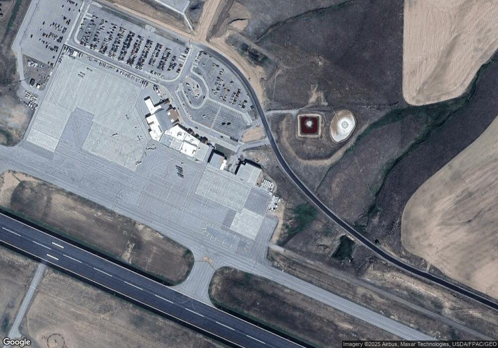
11005 County Road 51a Unit 1620 Hangar Ln 20, Hayden, CO 81639
Estimated Value: $319,580
--
Bed
--
Bath
3,575
Sq Ft
$89/Sq Ft
Est. Value
About This Home
This home is located at 11005 County Road 51a Unit 1620 Hangar Ln 20,, Hayden, CO 81639 and is currently estimated at $319,580, approximately $89 per square foot. 11005 County Road 51a Unit 1620 Hangar Ln 20, is a home located in Routt County with nearby schools including Hayden Valley Elementary School, Hayden Middle School, and Hayden High School.
Ownership History
Date
Name
Owned For
Owner Type
Purchase Details
Closed on
Aug 26, 2016
Sold by
112 Gm Llc
Bought by
Fait Barrett C
Current Estimated Value
Home Financials for this Owner
Home Financials are based on the most recent Mortgage that was taken out on this home.
Original Mortgage
$138,750
Interest Rate
3.42%
Mortgage Type
Commercial
Purchase Details
Closed on
Jul 12, 2007
Sold by
Ghs Leasing Co
Bought by
Brumleve Joseph F
Purchase Details
Closed on
Jul 11, 2007
Sold by
Brumleve Joseph F
Bought by
Ghs Leasing Co
Purchase Details
Closed on
Aug 15, 2006
Sold by
Rende Jeanne M
Bought by
112 Gm Llc
Purchase Details
Closed on
May 16, 2006
Sold by
Signal Construction Llc
Bought by
Rende Jeanne M
Create a Home Valuation Report for This Property
The Home Valuation Report is an in-depth analysis detailing your home's value as well as a comparison with similar homes in the area
Home Values in the Area
Average Home Value in this Area
Purchase History
| Date | Buyer | Sale Price | Title Company |
|---|---|---|---|
| Fait Barrett C | $185,000 | Heritage Title Company | |
| Brumleve Joseph F | -- | None Available | |
| Ghs Leasing Co | -- | Stewart Title Of Colorado | |
| 112 Gm Llc | -- | None Available | |
| Rende Jeanne M | $245,000 | Stewart Title Of Colorado | |
| Brumleve Joseph F | $229,536 | Stewart Title Of Colorado |
Source: Public Records
Mortgage History
| Date | Status | Borrower | Loan Amount |
|---|---|---|---|
| Closed | Fait Barrett C | $138,750 |
Source: Public Records
Tax History Compared to Growth
Tax History
| Year | Tax Paid | Tax Assessment Tax Assessment Total Assessment is a certain percentage of the fair market value that is determined by local assessors to be the total taxable value of land and additions on the property. | Land | Improvement |
|---|---|---|---|---|
| 2024 | $10,873 | $96,410 | $0 | $96,410 |
| 2023 | $10,873 | $96,410 | $0 | $96,410 |
| 2022 | $9,138 | $77,630 | $0 | $77,630 |
| 2021 | $8,698 | $77,630 | $0 | $77,630 |
| 2020 | $6,085 | $53,900 | $0 | $53,900 |
| 2019 | $6,096 | $53,900 | $0 | $0 |
| 2018 | $5,906 | $52,190 | $0 | $0 |
| 2017 | $5,177 | $52,190 | $0 | $0 |
| 2016 | $4,722 | $57,540 | $0 | $57,540 |
| 2015 | $4,679 | $57,540 | $0 | $57,540 |
| 2014 | $4,726 | $57,910 | $0 | $57,910 |
| 2012 | -- | $60,640 | $0 | $60,640 |
Source: Public Records
Map
Nearby Homes
- TBD Cr 50
- TBD County Road 51a
- 000 County Road 51a
- 540 Wings Way
- 3150 Sky High Ct
- 455 Wings Way
- 545 Wings Way
- 3200 Sky High Ct
- 3190 Sky High Ct
- Tbd County Road 51a
- 910 Dry Creek South Rd
- 910 S Dry Creek South Rd
- 875 S Dry Creek Rd
- TBD3 Hawthorne St
- TBD2 Hawthorne St
- 325 S Shelton Ln
- 689 Washington Ave Unit A
- 609 E Jefferson Ave
- 549 E Washington Ave
- 37700 Whitestone Place
- 11005 County Road 51a
- 1601 Hangar Ln
- 1631 Hangar Ln
- 1601 and 1631 Hangar Ln
- 0 Hangar Ln Unit 700643
- 10800 County Road 51
- 10780 County Road 51
- 10780 County Road 51 Unit C-54
- 10780 County Road 51 Unit D89
- 10780 County Road 51 Unit B-20
- 10780 County Road 51 Unit B-35
- 10780 County Road 51 Unit C-53
- 0 County Road 51 72 Acres
- 72 Acres
- 12330 County Road 51b
- 11430 County Road 51a
- 38080 County Road 51
- 105 Tower Ct
- 11200 Rcr 51a
- 51A Rcr 51a Rd
