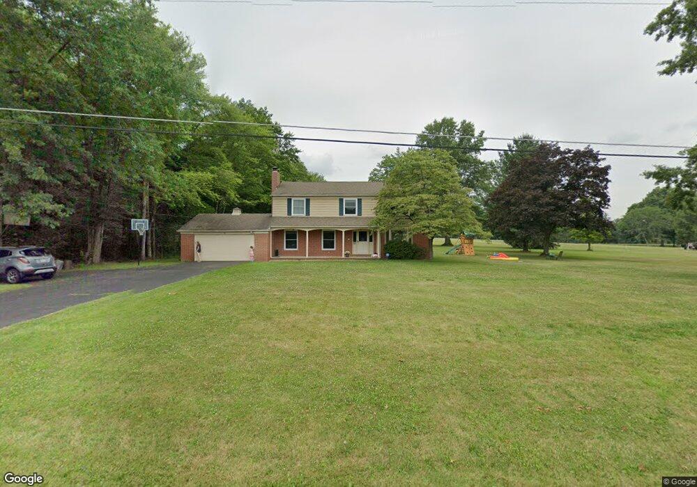
11005 Mccallum Ave NE Alliance, OH 44601
Estimated Value: $305,000 - $368,000
5
Beds
3
Baths
2,488
Sq Ft
$135/Sq Ft
Est. Value
About This Home
This home is located at 11005 Mccallum Ave NE, Alliance, OH 44601 and is currently estimated at $335,394, approximately $134 per square foot. 11005 Mccallum Ave NE is a home located in Stark County with nearby schools including Marlington High School and Regina Coeli/St Joseph School.
Ownership History
Date
Name
Owned For
Owner Type
Purchase Details
Closed on
Jan 25, 2019
Sold by
Snode Rickard J and Flynn John J
Bought by
Suitca Robert S and Suitca Mary K
Current Estimated Value
Home Financials for this Owner
Home Financials are based on the most recent Mortgage that was taken out on this home.
Original Mortgage
$148,000
Outstanding Balance
$130,381
Interest Rate
4.6%
Mortgage Type
New Conventional
Estimated Equity
$205,013
Purchase Details
Closed on
Oct 15, 2018
Bought by
Snode Rickard J and Flynn John
Purchase Details
Closed on
Aug 15, 2017
Sold by
Snode Marilyn J and Flynn John J
Bought by
Snode Marilyn J and The Marilyn J Snode Trust
Create a Home Valuation Report for This Property
The Home Valuation Report is an in-depth analysis detailing your home's value as well as a comparison with similar homes in the area
Home Values in the Area
Average Home Value in this Area
Purchase History
| Date | Buyer | Sale Price | Title Company |
|---|---|---|---|
| Suitca Robert S | $185,000 | None Available | |
| Snode Rickard J | -- | -- | |
| Snode Marilyn J | -- | None Available |
Source: Public Records
Mortgage History
| Date | Status | Borrower | Loan Amount |
|---|---|---|---|
| Open | Suitca Robert S | $148,000 |
Source: Public Records
Tax History Compared to Growth
Tax History
| Year | Tax Paid | Tax Assessment Tax Assessment Total Assessment is a certain percentage of the fair market value that is determined by local assessors to be the total taxable value of land and additions on the property. | Land | Improvement |
|---|---|---|---|---|
| 2025 | -- | $92,260 | $20,580 | $71,680 |
| 2024 | -- | $92,260 | $20,580 | $71,680 |
| 2023 | $2,301 | $65,350 | $11,620 | $53,730 |
| 2022 | $2,310 | $65,350 | $11,620 | $53,730 |
| 2021 | $2,317 | $65,350 | $11,620 | $53,730 |
| 2020 | $2,283 | $57,370 | $10,050 | $47,320 |
| 2019 | $2,322 | $53,380 | $10,050 | $43,330 |
| 2018 | $1,766 | $53,380 | $10,050 | $43,330 |
| 2017 | $1,699 | $48,940 | $7,460 | $41,480 |
| 2016 | $1,591 | $46,380 | $7,460 | $38,920 |
| 2015 | $1,515 | $46,380 | $7,460 | $38,920 |
| 2014 | $1,515 | $43,120 | $6,930 | $36,190 |
| 2013 | $753 | $43,120 | $6,930 | $36,190 |
Source: Public Records
Map
Nearby Homes
- 10666 Wilma Ave NE
- 12355 Edison St NE
- 11960 Freshley Ave NE
- 13334 Cindy St NE
- 0 Meadow St NE
- 0 Reeder Ave NE
- 12415 Snode St NE
- 13109 Edison St NE
- 11480 Aebi Ave NE
- 0 W Main St Unit 5090123
- 1430 Westwood Ave
- 2081 Marwood Cir
- 2377 Ansley St Unit 2377
- 000 Klinger Ave
- 14422 Sturbridge Rd NE
- 432 Johnson Ave
- 0 Homestead Ave NE
- 2851 Patriots Path Unit 3D
- 000 Meadowbrook Ave
- 0 Meadowbrook Ave
- 10977 Mccallum Ave NE
- 10953 Mccallum Ave NE
- 10962 Mccallum Ave NE
- 11123 Mccallum Ave NE
- 11070 Mccallum Ave NE
- 10906 Mccallum Ave NE
- 10905 Mccallum Ave NE
- 11150 Mccallum Ave NE
- 10845 Mccallum Ave NE
- 11151 Mccallum Ave NE
- 10874 Mccallum Ave NE
- 10877 Mccallum Ave NE
- 11181 Mccallum Ave NE
- 11180 Mccallum Ave NE
- 10801 Mccallum Ave NE
- 10788 Mccallum Ave NE
- 11252 Mccallum Ave NE
- 11252 Mccallum Ave NE
- 10717 Mccallum Ave NE
- 11275 Mccallum Ave NE