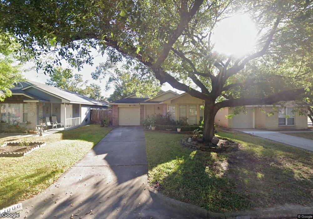
11006 Beaver Trail Dr Houston, TX 77086
North Houston NeighborhoodEstimated Value: $169,423 - $180,000
2
Beds
1
Bath
1,094
Sq Ft
$160/Sq Ft
Est. Value
About This Home
This home is located at 11006 Beaver Trail Dr, Houston, TX 77086 and is currently estimated at $175,106, approximately $160 per square foot. 11006 Beaver Trail Dr is a home located in Harris County with nearby schools including Kujawa EC/Pre-K/K School, Carmichael Elementary School, and Shotwell Middle School.
Ownership History
Date
Name
Owned For
Owner Type
Purchase Details
Closed on
Aug 31, 2016
Sold by
Wenseki Thomas E and Wenseki Dawn M
Bought by
Gonzalez Dorila A
Current Estimated Value
Home Financials for this Owner
Home Financials are based on the most recent Mortgage that was taken out on this home.
Original Mortgage
$78,850
Outstanding Balance
$62,982
Interest Rate
3.43%
Mortgage Type
New Conventional
Estimated Equity
$112,124
Purchase Details
Closed on
Jan 11, 1996
Sold by
Williamson William Robert
Bought by
Wesneski Thomas E and Wesneski Dawn M
Home Financials for this Owner
Home Financials are based on the most recent Mortgage that was taken out on this home.
Original Mortgage
$22,320
Interest Rate
7.14%
Create a Home Valuation Report for This Property
The Home Valuation Report is an in-depth analysis detailing your home's value as well as a comparison with similar homes in the area
Home Values in the Area
Average Home Value in this Area
Purchase History
| Date | Buyer | Sale Price | Title Company |
|---|---|---|---|
| Gonzalez Dorila A | -- | None Available | |
| Wesneski Thomas E | -- | Chicago Title |
Source: Public Records
Mortgage History
| Date | Status | Borrower | Loan Amount |
|---|---|---|---|
| Open | Gonzalez Dorila A | $78,850 | |
| Previous Owner | Wesneski Thomas E | $22,320 |
Source: Public Records
Tax History Compared to Growth
Tax History
| Year | Tax Paid | Tax Assessment Tax Assessment Total Assessment is a certain percentage of the fair market value that is determined by local assessors to be the total taxable value of land and additions on the property. | Land | Improvement |
|---|---|---|---|---|
| 2025 | $1,934 | $173,236 | $32,680 | $140,556 |
| 2024 | $1,934 | $169,404 | $27,360 | $142,044 |
| 2023 | $1,934 | $171,589 | $27,360 | $144,229 |
| 2022 | $2,811 | $148,680 | $20,520 | $128,160 |
| 2021 | $2,684 | $123,811 | $20,520 | $103,291 |
| 2020 | $2,597 | $112,061 | $20,520 | $91,541 |
| 2019 | $2,514 | $106,548 | $20,520 | $86,028 |
| 2018 | $914 | $88,621 | $20,520 | $68,101 |
| 2017 | $2,425 | $88,621 | $20,520 | $68,101 |
| 2016 | $1,568 | $61,376 | $20,520 | $40,856 |
| 2015 | $273 | $61,493 | $11,400 | $50,093 |
| 2014 | $273 | $39,000 | $11,400 | $27,600 |
Source: Public Records
Map
Nearby Homes
- 7222 Northleaf Dr
- 7218 Winding Trace Dr
- 7227 Greenyard Dr
- 11007 Tobasa Ct
- 11006 Crinkleawn Dr
- 7002 Sandswept Ln
- 5010 Kale Ct
- 7023 Sandswept Ln
- 10711 Heather Hill Dr
- 11021 Crenchrus Ct
- 10614 Mackenzie Dr
- 5103 Dartmoor Ridge Trail
- 6654 Brownie Campbell Rd
- 10723 Mackenzie Dr
- 6722 Winding Trace Dr
- 11009 Panicum Ct
- 6610 Northleaf Dr
- 6630 Brownie Campbell Rd
- 10307 Bammel North Houston Rd
- 6911 Silver Star Dr
- 11008 Beaver Trail Dr
- 11002 Beaver Trail Dr
- 11012 Beaver Trail Dr
- 11007 Sacaton Dr
- 11014 Beaver Trail Dr
- 11003 Sacaton Dr
- 11009 Sacaton Dr
- 11011 Sacaton Dr
- 11007 Beaver Trail Dr
- 11009 Beaver Trail Dr
- 11015 Sacaton Dr
- 11003 Beaver Trail Dr
- 11016 Beaver Trail Dr
- 11011 Beaver Trail Dr
- 7131 Greenyard Dr
- 7127 Greenyard Dr
- 11015 Beaver Trail Dr
- 7125 Greenyard Dr
- 11017 Sacaton Dr
- 7123 Greenyard Dr