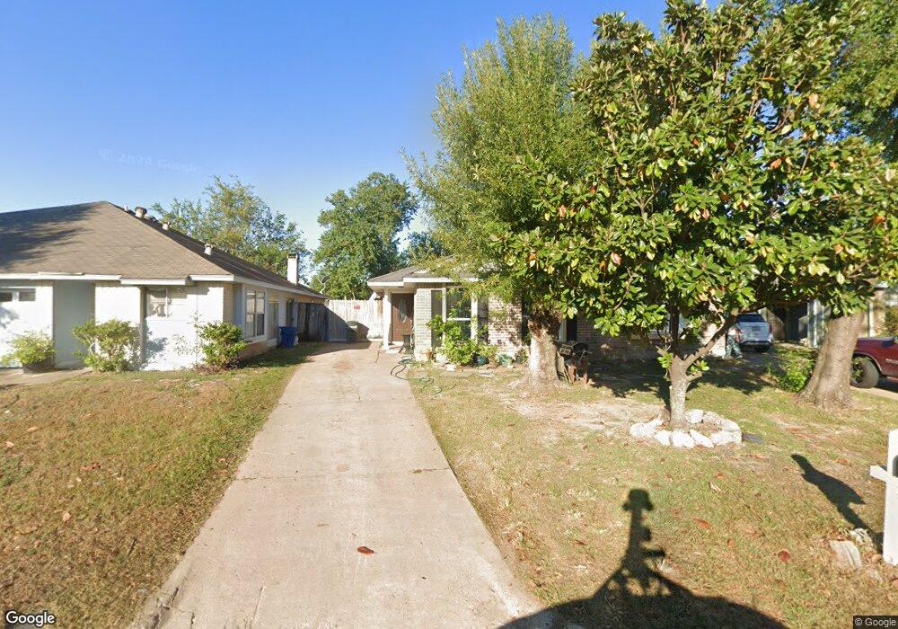
11007 Panicum Ct Houston, TX 77086
North Houston NeighborhoodEstimated Value: $149,896 - $169,000
2
Beds
2
Baths
1,137
Sq Ft
$139/Sq Ft
Est. Value
About This Home
This home is located at 11007 Panicum Ct, Houston, TX 77086 and is currently estimated at $157,974, approximately $138 per square foot. 11007 Panicum Ct is a home located in Harris County with nearby schools including Kujawa EC/Pre-K/K School, Carmichael Elementary School, and Shotwell Middle School.
Ownership History
Date
Name
Owned For
Owner Type
Purchase Details
Closed on
May 28, 2022
Sold by
Staudt Leslie A
Bought by
Fuente Walter A
Current Estimated Value
Purchase Details
Closed on
Feb 29, 2016
Sold by
Prw Investments Lp
Bought by
Barahona Sergio O Pleites
Home Financials for this Owner
Home Financials are based on the most recent Mortgage that was taken out on this home.
Original Mortgage
$77,400
Interest Rate
3.79%
Mortgage Type
Purchase Money Mortgage
Purchase Details
Closed on
Mar 11, 2014
Sold by
Diversified Planners Inc
Bought by
Prw Investments Lp
Create a Home Valuation Report for This Property
The Home Valuation Report is an in-depth analysis detailing your home's value as well as a comparison with similar homes in the area
Home Values in the Area
Average Home Value in this Area
Purchase History
| Date | Buyer | Sale Price | Title Company |
|---|---|---|---|
| Fuente Walter A | -- | None Listed On Document | |
| Barahona Sergio O Pleites | -- | None Available | |
| Prw Investments Lp | -- | None Available |
Source: Public Records
Mortgage History
| Date | Status | Borrower | Loan Amount |
|---|---|---|---|
| Previous Owner | Barahona Sergio O Pleites | $77,400 |
Source: Public Records
Tax History Compared to Growth
Tax History
| Year | Tax Paid | Tax Assessment Tax Assessment Total Assessment is a certain percentage of the fair market value that is determined by local assessors to be the total taxable value of land and additions on the property. | Land | Improvement |
|---|---|---|---|---|
| 2025 | $2,708 | $130,000 | $29,275 | $100,725 |
| 2024 | $2,708 | $134,000 | $24,510 | $109,490 |
| 2023 | $2,708 | $134,232 | $24,510 | $109,722 |
| 2022 | $2,579 | $119,042 | $15,318 | $103,724 |
| 2021 | $2,079 | $91,364 | $15,318 | $76,046 |
| 2020 | $1,865 | $77,000 | $15,318 | $61,682 |
| 2019 | $1,547 | $60,000 | $15,318 | $44,682 |
| 2018 | $833 | $66,785 | $15,318 | $51,467 |
| 2017 | $1,368 | $50,000 | $10,212 | $39,788 |
| 2016 | $1,368 | $50,000 | $10,212 | $39,788 |
| 2015 | $437 | $0 | $0 | $0 |
| 2014 | $437 | $37,527 | $10,212 | $27,315 |
Source: Public Records
Map
Nearby Homes
- 11009 Panicum Ct
- 11021 Crenchrus Ct
- 6610 Northleaf Dr
- 11006 Crinkleawn Dr
- 6630 Brownie Campbell Rd
- 6654 Brownie Campbell Rd
- 11007 Tobasa Ct
- 6722 Winding Trace Dr
- 6615 Winding Trace Dr
- 10522 Northview Dr
- 7002 Sandswept Ln
- 6502 Trail Valley Way
- 7218 Winding Trace Dr
- 13610 Kaltenbrun Rd
- 7023 Sandswept Ln
- 7222 Northleaf Dr
- 7227 Greenyard Dr
- 13518 Kaltenbrun Rd
- 6911 Silver Star Dr
- 5010 Kale Ct
- 11005 Panicum Ct
- 11011 Panicum Ct
- 11003 Panicum Ct
- 11013 Panicum Ct
- 11008 Crenchrus Ct
- 11004 Crenchrus Ct
- 11010 Crenchrus Ct
- 11015 Panicum Ct
- 11002 Crenchrus Ct
- 11012 Crenchrus Ct
- 11006 Panicum Ct
- 11004 Panicum Ct
- 11008 Panicum Ct
- 11017 Panicum Ct
- 11014 Crenchrus Ct
- 11010 Panicum Ct
- 11002 Panicum Ct
- 11012 Panicum Ct
- 11016 Crenchrus Ct
- 11014 Panicum Ct