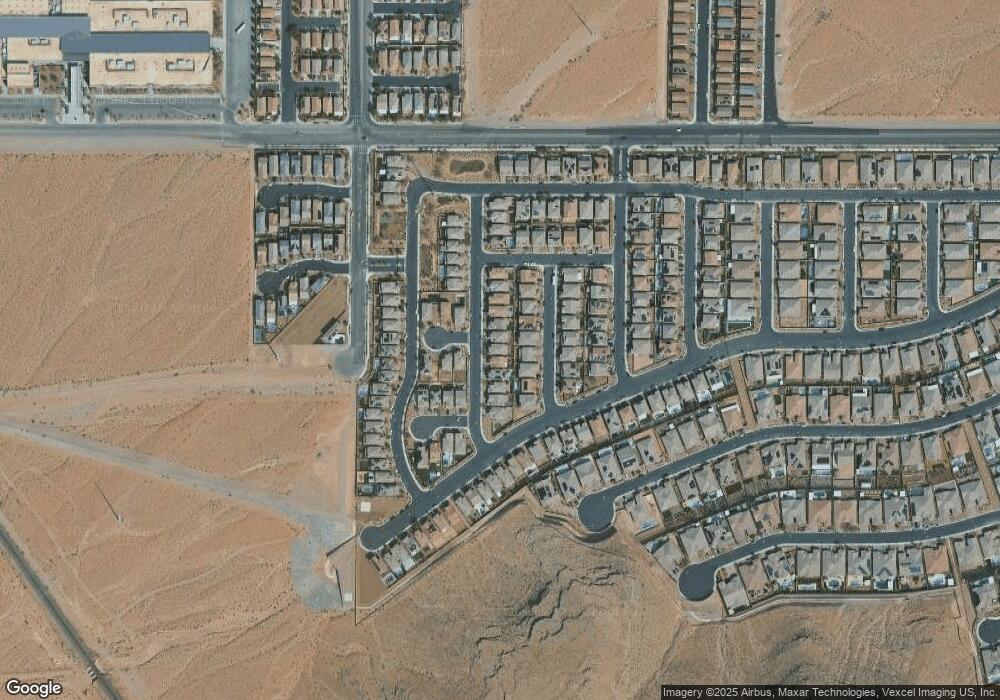
11008 Brandan Alps St Las Vegas, NV 89141
Southern Highlands NeighborhoodEstimated Value: $551,601 - $631,000
3
Beds
3
Baths
2,328
Sq Ft
$252/Sq Ft
Est. Value
About This Home
This home is located at 11008 Brandan Alps St, Las Vegas, NV 89141 and is currently estimated at $587,650, approximately $252 per square foot. 11008 Brandan Alps St is a home with nearby schools including Charles & Phyllis Frias Elementary School, Lois & Jerry Tarkanian Middle School, and Desert Oasis High School.
Ownership History
Date
Name
Owned For
Owner Type
Purchase Details
Closed on
Jan 20, 2022
Sold by
Machado Clint C
Bought by
Ccm Trust
Current Estimated Value
Purchase Details
Closed on
Jan 18, 2022
Sold by
Machado Clint C
Bought by
Ccm Trust
Purchase Details
Closed on
Jan 26, 2018
Sold by
Richmond American Homes Of Nevada Inc
Bought by
Machado Clint C
Home Financials for this Owner
Home Financials are based on the most recent Mortgage that was taken out on this home.
Original Mortgage
$296,502
Interest Rate
3.93%
Mortgage Type
New Conventional
Create a Home Valuation Report for This Property
The Home Valuation Report is an in-depth analysis detailing your home's value as well as a comparison with similar homes in the area
Home Values in the Area
Average Home Value in this Area
Purchase History
| Date | Buyer | Sale Price | Title Company |
|---|---|---|---|
| Ccm Trust | -- | Morris Law Center | |
| Ccm Trust | -- | Morris Law Center | |
| Machado Clint C | $370,627 | Ticor Title Las Vegas |
Source: Public Records
Mortgage History
| Date | Status | Borrower | Loan Amount |
|---|---|---|---|
| Previous Owner | Machado Clint C | $296,502 |
Source: Public Records
Tax History Compared to Growth
Tax History
| Year | Tax Paid | Tax Assessment Tax Assessment Total Assessment is a certain percentage of the fair market value that is determined by local assessors to be the total taxable value of land and additions on the property. | Land | Improvement |
|---|---|---|---|---|
| 2025 | $4,963 | $173,664 | $47,250 | $126,414 |
| 2024 | $4,596 | $173,664 | $47,250 | $126,414 |
| 2023 | $4,596 | $160,609 | $42,525 | $118,084 |
| 2022 | $4,256 | $144,997 | $37,800 | $107,197 |
| 2021 | $3,949 | $134,544 | $33,075 | $101,469 |
| 2020 | $3,835 | $132,853 | $33,075 | $99,778 |
| 2019 | $3,594 | $127,606 | $29,750 | $97,856 |
| 2018 | $695 | $21,000 | $21,000 | $0 |
| 2017 | $0 | $18,200 | $18,200 | $0 |
Source: Public Records
Map
Nearby Homes
- 11032 Brandan Alps St
- 6442 Kobe Knoll Ct
- 6496 Cape Canyon Ct
- 6315 Carol Butte Ct
- 6476 Little Harbor Ct
- 6516 Blessed Thistle Ave
- 6534 Blessed Thistle Ave
- 6248 Carol Butte Ct
- 6160 Lautman Ridge Ct
- 6279 Dollar Bill Ct
- 6255 Dollar Bill Ct
- 10630 Adobe Ranch St
- 10610 Blue Larkspur Ct
- 10606 Verona Wood St
- 6444 Beckman Glen Ct
- 6436 Beckman Glen Ct
- 6230 Bravestar Ct
- 6134 W Levi Ave
- 6572 Polonius Ct
- 11218 Dolcetto Dr
- 11016 Brandan Alps St
- 11000 Brandan Alps St
- 10992 Brandan Alps St
- 11024 Brandan Alps St
- 11001 Winter Rise St
- 10993 Winter Rise St
- 11009 Winter Rise St
- 10984 Brandan Alps St
- 6441 Earl Pike Ct
- 10985 Winter Rise St
- 11017 Winter Rise St
- 11040 Brandan Alps St
- 10976 Brandan Alps St
- 10977 Winter Rise St
- 6440 Earl Pike Ct
- 6449 Earl Pike Ct
- 11025 Winter Rise St
- 10968 Brandan Alps St
- 6448 Earl Pike Ct
- 10969 Winter Rise St
