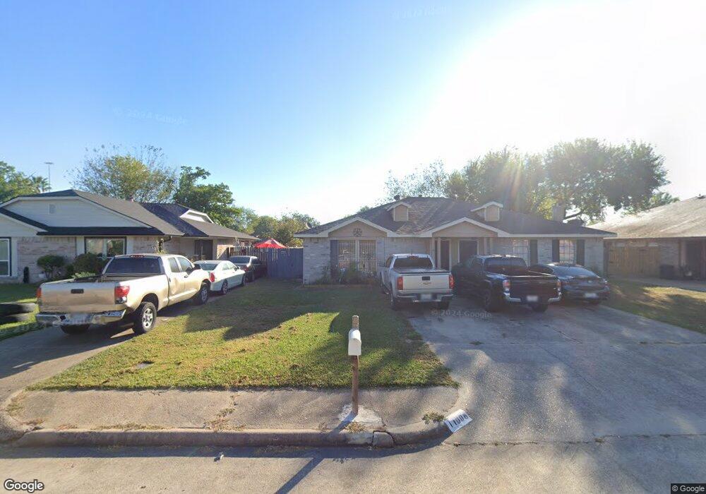
11008 Crinkleawn Dr Houston, TX 77086
North Houston NeighborhoodEstimated Value: $138,000 - $160,000
2
Beds
1
Bath
976
Sq Ft
$150/Sq Ft
Est. Value
About This Home
This home is located at 11008 Crinkleawn Dr, Houston, TX 77086 and is currently estimated at $146,773, approximately $150 per square foot. 11008 Crinkleawn Dr is a home located in Harris County with nearby schools including Kujawa EC/Pre-K/K School, Carmichael Elementary School, and Shotwell Middle School.
Ownership History
Date
Name
Owned For
Owner Type
Purchase Details
Closed on
Dec 19, 2002
Sold by
Sparks Deloris E
Bought by
Lares Cirilo
Current Estimated Value
Home Financials for this Owner
Home Financials are based on the most recent Mortgage that was taken out on this home.
Original Mortgage
$60,000
Outstanding Balance
$25,123
Interest Rate
5.89%
Estimated Equity
$121,650
Create a Home Valuation Report for This Property
The Home Valuation Report is an in-depth analysis detailing your home's value as well as a comparison with similar homes in the area
Home Values in the Area
Average Home Value in this Area
Purchase History
| Date | Buyer | Sale Price | Title Company |
|---|---|---|---|
| Lares Cirilo | -- | American Title Co |
Source: Public Records
Mortgage History
| Date | Status | Borrower | Loan Amount |
|---|---|---|---|
| Open | Lares Cirilo | $60,000 |
Source: Public Records
Tax History Compared to Growth
Tax History
| Year | Tax Paid | Tax Assessment Tax Assessment Total Assessment is a certain percentage of the fair market value that is determined by local assessors to be the total taxable value of land and additions on the property. | Land | Improvement |
|---|---|---|---|---|
| 2025 | $2,653 | $126,352 | $29,477 | $96,875 |
| 2024 | $2,653 | $131,295 | $24,678 | $106,617 |
| 2023 | $2,653 | $131,295 | $24,678 | $106,617 |
| 2022 | $2,271 | $104,842 | $15,424 | $89,418 |
| 2021 | $2,082 | $91,485 | $15,424 | $76,061 |
| 2020 | $2,028 | $83,748 | $15,424 | $68,324 |
| 2019 | $2,003 | $77,655 | $15,424 | $62,231 |
| 2018 | $895 | $62,296 | $15,424 | $46,872 |
| 2017 | $1,406 | $51,378 | $10,283 | $41,095 |
| 2016 | $1,406 | $51,378 | $10,283 | $41,095 |
| 2015 | $1,028 | $47,263 | $10,283 | $36,980 |
| 2014 | $1,028 | $35,073 | $10,283 | $24,790 |
Source: Public Records
Map
Nearby Homes
- 11006 Crinkleawn Dr
- 11021 Crenchrus Ct
- 11009 Panicum Ct
- 6610 Northleaf Dr
- 11007 Tobasa Ct
- 6654 Brownie Campbell Rd
- 6630 Brownie Campbell Rd
- 6722 Winding Trace Dr
- 6615 Winding Trace Dr
- 7002 Sandswept Ln
- 10522 Northview Dr
- 7218 Winding Trace Dr
- 7023 Sandswept Ln
- 7222 Northleaf Dr
- 6502 Trail Valley Way
- 7227 Greenyard Dr
- 6911 Silver Star Dr
- 5010 Kale Ct
- 13610 Kaltenbrun Rd
- 10614 Mackenzie Dr
- 11010 Crinkleawn Dr
- 11012 Crinkleawn Dr
- 11004 Crinkleawn Dr
- 11014 Crinkleawn Dr
- 11009 Tridens Ct
- 11011 Tridens Ct
- 11002 Crinkleawn Dr
- 11007 Tridens Ct
- 11013 Tridens Ct
- 11005 Tridens Ct
- 11016 Crinkleawn Dr
- 11015 Tridens Ct
- 11003 Tridens Ct
- 11018 Crinkleawn Dr
- 11009 Crinkleawn Dr
- 11007 Crinkleawn Dr
- 11011 Crinkleawn Dr
- 11013 Crinkleawn Dr
- 11005 Crinkleawn Dr
- 11019 Tridens Ct