11009 High Point Rd Benton, AR 72019
Estimated Value: $436,000 - $461,445
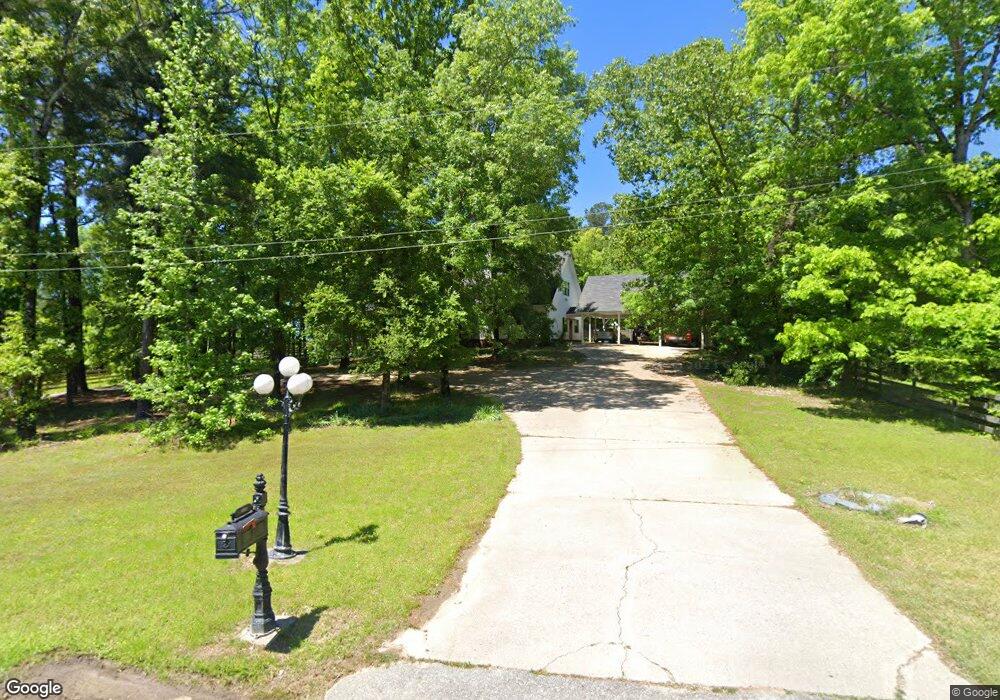
About This Home
This home is located at 11009 High Point Rd, Benton, AR 72019 and is currently estimated at $452,361, approximately $154 per square foot. 11009 High Point Rd is a home located in Saline County with nearby schools including Ringgold Elementary School, Benton Middle School, and Benton Junior High School.
Ownership History
We collect this data history from publicly available records. To have your information removed, we recommend requesting removal directly through your county’s website.
Purchase Details
Home Financials for this Owner
Home Financials are based on the most recent Mortgage that was taken out on this home.Purchase Details
Home Financials for this Owner
Home Financials are based on the most recent Mortgage that was taken out on this home.Purchase Details
Purchase Details
Purchase Details
Purchase Details
Purchase History
We collect this data history from publicly available records. To have your information removed, we recommend requesting removal directly through your county’s website.
| Date | Buyer | Sale Price | Title Company |
|---|---|---|---|
| $265,000 | None Available | ||
| $265,000 | None Available | ||
| $252,000 | None Available | ||
| $252,000 | None Available | ||
| $186,000 | -- | ||
| $186,000 | -- | ||
| $175,000 | -- | ||
| $175,000 | -- | ||
| $175,000 | -- | ||
| $175,000 | -- | ||
| -- | -- | ||
| -- | -- |
Mortgage History
We collect this data history from publicly available records. To have your information removed, we recommend requesting removal directly through your county’s website.
| Date | Status | Borrower | Loan Amount |
|---|---|---|---|
| Open | $251,750 | ||
| Previous Owner | $261,800 |
Tax History
We collect this data history from publicly available records. To have your information removed, we recommend requesting removal directly through your county’s website.
| Year | Tax Paid | Tax Assessment Tax Assessment Total Assessment is a certain percentage of the fair market value that is determined by local assessors to be the total taxable value of land and additions on the property. | Land | Improvement |
|---|---|---|---|---|
| 2025 | $3,202 | $65,614 | $8,500 | $57,114 |
| 2024 | $3,202 | $65,614 | $8,500 | $57,114 |
| 2023 | $2,732 | $65,614 | $8,500 | $57,114 |
| 2022 | $2,643 | $65,614 | $8,500 | $57,114 |
| 2021 | $2,504 | $53,950 | $6,500 | $47,450 |
| 2020 | $2,459 | $53,950 | $6,500 | $47,450 |
| 2019 | $2,459 | $53,950 | $6,500 | $47,450 |
| 2018 | $2,784 | $53,950 | $6,500 | $47,450 |
| 2017 | $2,365 | $53,950 | $6,500 | $47,450 |
| 2016 | $2,538 | $49,190 | $6,500 | $42,690 |
| 2015 | $2,538 | $49,190 | $6,500 | $42,690 |
| 2014 | $2,238 | $49,190 | $6,500 | $42,690 |
Map
- 6032 Charley Place
- 7049 Hannah Ln
- 2624 White Tail St
- 4430 Dixie Ln
- TBD Moss Rd
- 4554 Moss Rd
- 4015 Lantern St
- 4023 Lantern Hill Dr
- 8617 Pawnee Dr
- 4951 Dixie Ln
- Exit 114 Interstate 30 Service Rd
- 10600 Gunter Loop
- 10664 Gunter Loop
- 10634 Gunter Loop
- 4051 Whitney Ln
- 9026 Diamond Ridge Dr
- 1919 Tudor Loop
- 6105 Point View Rd
- 4133 Brody Crossing
- 6200 Fairplay Rd
- 11009 High Point Rd
- 11012 High Pointe Rd
- 0 High Point Dr Unit 16002813
- 0 High Point Dr Unit 16032526
- 0 High Point Dr Unit 10339176
- 0 High Point Dr Unit 10340479
- 0 Highway 70 Unit 20010640
- 10800 Highway 70
- 11111 High Point Rd
- 11111 High Point Rd
- 11102 High Pointe Rd
- 11270 High Point Rd
- 11405 High Point Rd
- 11004 High Point Rd
- 000 High Point Dr
- 000 High Point Drive Dr
- 10896 Highway 70
- 10910 Highway 70
- 9900 Highway 70
- 11220 High Pointe Rd
Ask me questions while you tour the home.