1101 3rd Ave Brockway, PA 15824
Estimated Value: $112,000 - $154,000
--
Bed
--
Bath
624
Sq Ft
$214/Sq Ft
Est. Value
About This Home
This home is located at 1101 3rd Ave, Brockway, PA 15824 and is currently estimated at $133,319, approximately $213 per square foot. 1101 3rd Ave is a home located in Jefferson County with nearby schools including Brockway Area Elementary School, Brockway Area Junior/Senior High School, and Hillside School.
Ownership History
Date
Name
Owned For
Owner Type
Purchase Details
Closed on
Aug 29, 2024
Sold by
Bortle June Dennis and Bortle James Vincent
Bought by
Susanne Martini Whobrey Revocable Living Trus
Current Estimated Value
Purchase Details
Closed on
Jun 15, 2023
Sold by
Whobrey Susanne M
Bought by
Susanne Martini Whobrey Revocable Living Trus
Purchase Details
Closed on
Aug 1, 2017
Sold by
Martini Marcella M
Bought by
Whobrey Susanne M
Create a Home Valuation Report for This Property
The Home Valuation Report is an in-depth analysis detailing your home's value as well as a comparison with similar homes in the area
Home Values in the Area
Average Home Value in this Area
Purchase History
| Date | Buyer | Sale Price | Title Company |
|---|---|---|---|
| Susanne Martini Whobrey Revocable Living Trus | $145,000 | None Listed On Document | |
| Susanne Martini Whobrey Revocable Living Trus | -- | None Listed On Document | |
| Whobrey Susanne M | -- | None Available |
Source: Public Records
Tax History Compared to Growth
Tax History
| Year | Tax Paid | Tax Assessment Tax Assessment Total Assessment is a certain percentage of the fair market value that is determined by local assessors to be the total taxable value of land and additions on the property. | Land | Improvement |
|---|---|---|---|---|
| 2025 | $1,763 | $37,220 | $4,550 | $32,670 |
| 2024 | $2,011 | $37,220 | $4,550 | $32,670 |
| 2023 | $1,725 | $37,220 | $4,550 | $32,670 |
| 2022 | $1,725 | $37,220 | $4,550 | $32,670 |
| 2021 | $1,434 | $30,930 | $4,530 | $26,400 |
| 2020 | $1,434 | $30,930 | $4,530 | $26,400 |
| 2019 | $1,383 | $30,930 | $4,530 | $26,400 |
| 2018 | $1,323 | $30,930 | $4,530 | $26,400 |
| 2017 | $1,306 | $30,930 | $4,530 | $26,400 |
| 2016 | $1,179 | $30,930 | $4,530 | $26,400 |
| 2015 | -- | $30,930 | $4,530 | $26,400 |
| 2012 | -- | $30,930 | $4,530 | $26,400 |
Source: Public Records
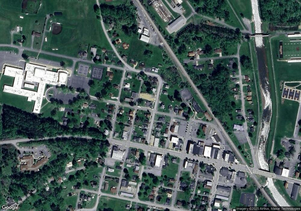
Map
Nearby Homes
- 1074 10th Ave
- 1549 Main St
- 924 Elm St
- 0 U S 219
- 970 Baghdad Rd
- 19 Salandra Ln
- 7956 U S 219
- 425 Zuccolotto Ln
- 1083 Rattlesnake Rd
- 101 Howard Rd
- 5850 U S 219
- 5546 Stevenson Hill Rd
- 0 Coal Glen Rd
- 390 Galliot Ct
- 636 Cap Haitien Rd
- 3585 Shawmut Rd
- 0 Cap Haitien Rd Unit SEC 17 LOT 14
- 00 Pennsylvania 830
- 13 Cap Haitien Rd
- Section 14 Lot 24 Port-Au-prince Rd
- 1117 3rd Ave
- 1049 3rd Ave
- 1100 3rd Ave
- 1157 3rd Ave
- 1133 3rd Ave
- 1041 3rd Ave
- 1048 3rd Ave
- 1125 Chittester Way
- 1132 3rd Ave
- 317 Alexander St
- 224 Alexander St
- 1033 3rd Ave
- 1149 3rd Ave
- 201 Alexander St
- 1040 3rd Ave
- 1041 Chittester Way
- 1032 3rd Ave
- 1148 3rd Ave
- 232 North St
- 1033 Chittester Way Unit 1033 1/2