Estimated Value: $297,843 - $355,000
3
Beds
3
Baths
1,534
Sq Ft
$217/Sq Ft
Est. Value
About This Home
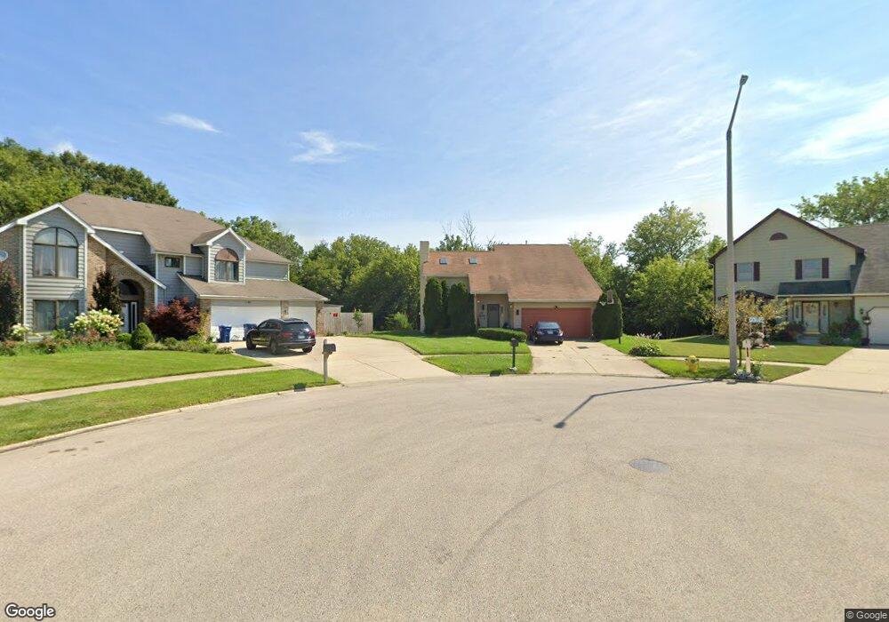
This home is located at 1101 Bank Ln, Zion, IL 60099 and is currently estimated at $332,211, approximately $216 per square foot. 1101 Bank Ln is a home located in Lake County with nearby schools including Howe Elementary School, Beach Park Middle School, and Zion-Benton Township High School.
Ownership History
Date
Name
Owned For
Owner Type
Purchase Details
Closed on
Jan 12, 2001
Sold by
Larson Alvar
Bought by
Dodson John T and Dodson Roxanne R
Current Estimated Value
Home Financials for this Owner
Home Financials are based on the most recent Mortgage that was taken out on this home.
Original Mortgage
$189,016
Outstanding Balance
$66,549
Interest Rate
6.91%
Mortgage Type
FHA
Estimated Equity
$265,663
Create a Home Valuation Report for This Property
The Home Valuation Report is an in-depth analysis detailing your home's value as well as a comparison with similar homes in the area
Home Values in the Area
Average Home Value in this Area
Purchase History
| Date | Buyer | Sale Price | Title Company |
|---|---|---|---|
| Dodson John T | $192,000 | First American Title |
Source: Public Records
Mortgage History
| Date | Status | Borrower | Loan Amount |
|---|---|---|---|
| Open | Dodson John T | $189,016 |
Source: Public Records
Tax History Compared to Growth
Tax History
| Year | Tax Paid | Tax Assessment Tax Assessment Total Assessment is a certain percentage of the fair market value that is determined by local assessors to be the total taxable value of land and additions on the property. | Land | Improvement |
|---|---|---|---|---|
| 2024 | $7,608 | $78,345 | $7,854 | $70,491 |
| 2023 | $7,699 | $68,686 | $7,582 | $61,104 |
| 2022 | $7,699 | $66,142 | $7,422 | $58,720 |
| 2021 | $7,940 | $64,459 | $7,233 | $57,226 |
| 2020 | $7,793 | $61,512 | $6,902 | $54,610 |
| 2019 | $7,773 | $58,360 | $6,548 | $51,812 |
| 2018 | $7,646 | $55,881 | $7,918 | $47,963 |
| 2017 | $7,555 | $52,569 | $7,449 | $45,120 |
| 2016 | $7,373 | $50,047 | $7,092 | $42,955 |
| 2015 | $7,139 | $45,898 | $6,504 | $39,394 |
| 2014 | $8,878 | $57,971 | $18,120 | $39,851 |
| 2012 | $8,901 | $60,242 | $18,830 | $41,412 |
Source: Public Records
Map
Nearby Homes
- 10765 W Liberty Ave
- 1121 Otto Graham Ln
- 3931 Bertrand Ln
- 38571 N Cedar Ave
- 11345 W Carnahan Ave
- 11382 W Leland Ave
- 3225 Gilead Ave
- 3224 Gilboa Ave
- 3221 Gideon Ave
- 11342-11346 W Wadsworth Rd
- 2614 33rd St
- 38683 N Lewis Ave
- 39161 N Holdridge Ave
- 10205 W Ames Ave
- 10295 W Crissy Ave
- 1667 W Beach Rd Unit 1667
- 1677 W Beach Rd Unit 1677
- 1730 W Beach Rd
- 10133 W Wadsworth Rd
- 3101 Gilboa Ave
- 1100 Bank Ln
- 1105 Bank Ln
- 1109 Bank Ln
- 10853 W Liberty Ave
- 1104 Bank Ln
- 10852 W Fairbanks Ave
- 1113 Bank Ln
- 4127 Bertrand Ln
- 1108 Bank Ln
- 4123 Bertrand Ln
- 10844 W Fairbanks Ave
- 4147 Bertrand Ln
- 4201 Bertrand Ln
- 4205 Bertrand Ln
- 10848 W Liberty Ave
- 10811 W Liberty Ave
- 4119 Bertrand Ln
- 10853 W Fairbanks Ave
- 4209 Bertrand Ln
- 10816 W Fairbanks Ave