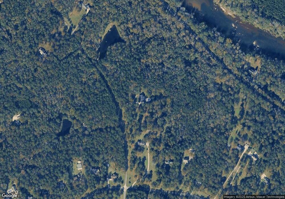
1101 Castlegate Dr Macon, GA 31210
Estimated Value: $509,000 - $626,000
3
Beds
3
Baths
3,018
Sq Ft
$187/Sq Ft
Est. Value
About This Home
This home is located at 1101 Castlegate Dr, Macon, GA 31210 and is currently estimated at $564,804, approximately $187 per square foot. 1101 Castlegate Dr is a home located in Monroe County with nearby schools including T.G. Scott Elementary School, Mary Persons High School, and Academy for Classical Education.
Ownership History
Date
Name
Owned For
Owner Type
Purchase Details
Closed on
Jul 29, 2016
Sold by
Jiles Russell G and Jiles Carolyn C
Bought by
Amerson Tisha C
Current Estimated Value
Purchase Details
Closed on
Nov 8, 1994
Bought by
Jiles Russell G and Jiles Carolyn C
Purchase Details
Closed on
Dec 9, 1988
Create a Home Valuation Report for This Property
The Home Valuation Report is an in-depth analysis detailing your home's value as well as a comparison with similar homes in the area
Purchase History
| Date | Buyer | Sale Price | Title Company |
|---|---|---|---|
| Amerson Tisha C | $275,000 | -- | |
| Jiles Russell G | $150,000 | -- | |
| -- | -- | -- |
Source: Public Records
Tax History
| Year | Tax Paid | Tax Assessment Tax Assessment Total Assessment is a certain percentage of the fair market value that is determined by local assessors to be the total taxable value of land and additions on the property. | Land | Improvement |
|---|---|---|---|---|
| 2025 | $2,901 | $146,840 | $48,840 | $98,000 |
| 2024 | $2,901 | $146,840 | $48,840 | $98,000 |
| 2023 | $2,782 | $131,520 | $48,840 | $82,680 |
| 2022 | $3,002 | $122,880 | $40,200 | $82,680 |
| 2021 | $3,108 | $122,880 | $40,200 | $82,680 |
| 2020 | $3,186 | $122,880 | $40,200 | $82,680 |
| 2019 | $3,211 | $122,880 | $40,200 | $82,680 |
| 2018 | $3,221 | $122,880 | $40,200 | $82,680 |
| 2017 | $3,206 | $110,320 | $36,160 | $74,160 |
| 2016 | $2,149 | $89,760 | $28,920 | $60,840 |
| 2015 | $2,038 | $89,760 | $28,920 | $60,840 |
| 2014 | $1,966 | $89,760 | $28,920 | $60,840 |
Source: Public Records
Map
Nearby Homes
- 138 Dumbarton Dr
- 5609 Taylor Terrace
- 6137 Wesleyan Dr N
- 133 Searcy Dr
- 120 Deer Ridge Trail
- 625 Rum Creek Rd
- 87 Georgia 87
- 0 Rum Creek Rd Unit 10564676
- 0 Rum Creek Rd Unit 24151025
- 1402 Cottage Hill Dr
- 328 Providence Blvd
- 332 Providence Blvd
- 340 Providence Blvd
- 376 Providence Blvd
- 311 Arden Park Ln
- 176 Tumbling Shoals Dr
- 855 Tufthunter
- 261 Providence Blvd
- 0 Old Benton Rd Unit 179774
- 0 Old Benton Rd Unit 10523972
- 200 Kingswood Dr
- 1120 Castlegate Dr
- 210 Kingswood Dr
- 220 Kingswood Dr
- 190 Kingswood Dr
- 180 Kingswood Dr
- 170 Kingswood Dr
- 224 Kingswood Dr
- 211 Kingswood Dr
- 1145 Castlegate Dr
- 230 Kingswood Dr
- 20 River Trace
- 191 Kingswood Dr
- 221 Kingswood Dr
- 160 Kingswood Dr
- 1144 Castlegate Dr
- 231 Kingswood Dr
- 6459 Georgia 87
- 100 Hadden Hall Dr
- 6459 Ga Highway 87
