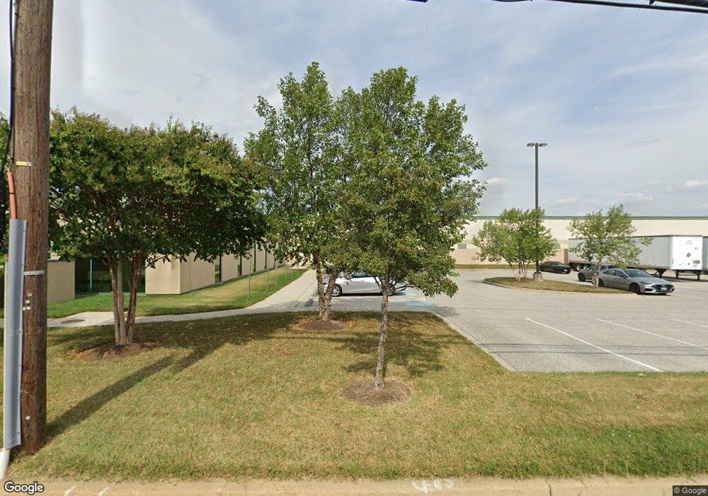
1101 Desoto Rd Baltimore, MD 21223
Estimated Value: $73,455,476
--
Bed
--
Bath
145,900
Sq Ft
$503/Sq Ft
Est. Value
About This Home
This home is located at 1101 Desoto Rd, Baltimore, MD 21223 and is currently estimated at $73,455,476, approximately $503 per square foot. 1101 Desoto Rd is a home located in Baltimore City with nearby schools including Violetville Elementary/Middle School, Booker T. Washington Middle School, and Edmondson Westside High School.
Ownership History
Date
Name
Owned For
Owner Type
Purchase Details
Closed on
Apr 27, 2022
Sold by
Ci Baltimore I-Pru Llc
Bought by
Ulf I-95 Baltimore-Washington Llc
Current Estimated Value
Purchase Details
Closed on
Jul 11, 2017
Sold by
The Realty Associates Fund X Lp
Bought by
Colfin 2017 8 Industrial Owner Llc
Purchase Details
Closed on
Jul 24, 2007
Sold by
Frederick P Winner Ltd
Create a Home Valuation Report for This Property
The Home Valuation Report is an in-depth analysis detailing your home's value as well as a comparison with similar homes in the area
Home Values in the Area
Average Home Value in this Area
Purchase History
| Date | Buyer | Sale Price | Title Company |
|---|---|---|---|
| Ulf I-95 Baltimore-Washington Llc | -- | Land Title | |
| Colfin 2017 8 Industrial Owner Llc | $43,800,000 | First American Title Ins Co | |
| -- | $3,665,000 | -- |
Source: Public Records
Tax History Compared to Growth
Tax History
| Year | Tax Paid | Tax Assessment Tax Assessment Total Assessment is a certain percentage of the fair market value that is determined by local assessors to be the total taxable value of land and additions on the property. | Land | Improvement |
|---|---|---|---|---|
| 2025 | $205,740 | $16,584,800 | -- | -- |
| 2024 | $205,740 | $8,759,500 | $0 | $0 |
| 2023 | $136,609 | $5,816,200 | $576,400 | $5,239,800 |
| 2022 | $135,749 | $5,752,067 | $0 | $0 |
| 2021 | $134,235 | $5,687,933 | $0 | $0 |
| 2020 | $132,722 | $5,623,800 | $576,400 | $5,047,400 |
| 2019 | $132,090 | $5,623,800 | $576,400 | $5,047,400 |
| 2018 | $132,722 | $5,623,800 | $576,400 | $5,047,400 |
| 2017 | $158,198 | $6,703,300 | $0 | $0 |
| 2016 | $75,030 | $5,531,967 | $0 | $0 |
| 2015 | $75,030 | $4,360,633 | $0 | $0 |
| 2014 | $75,030 | $3,189,300 | $0 | $0 |
Source: Public Records
Map
Nearby Homes
- 1052 Parksley Ave
- 3133 Wilkens Ave
- 2737 Wilkens Ave
- 2733 Wilkens Ave
- 2711 Wilkens Ave
- 537 S Longwood St
- 1710 Wilmington Ave
- 2659 Wilkens Ave
- 510 S Longwood St
- 1707 Harman Ave
- 1710 Wickes Ave
- 2698 Saint Benedict St
- 2644 Wilkens Ave
- 1637 Spence St
- 2642 Wilkens Ave
- 2633 Wilkens Ave
- 2683 Dulany St
- 2822 Frederick Ave
- 3214 Clarinda Ave
- 1703 - 1707 1/2 Spence St
- 3001 Cowan Ave
- 1125 Desoto Rd
- 1091 Wilmington Ave
- 1053 Desoto Rd
- 1089 Wilmington Ave
- 1038 Wilmington Ave
- 1051 Desoto Rd
- 1087 Wilmington Ave
- 1049 Desoto Rd
- 1085 Wilmington Ave
- 1060 Parksley Ave
- 1047 Desoto Rd
- 1083 Wilmington Ave
- 1058 Parksley Ave
- 1045 Desoto Rd
- 1056 Parksley Ave
- 1081 Wilmington Ave
- 1036 Wilmington Ave
- 1043 Desoto Rd
- 1054 Parksley Ave