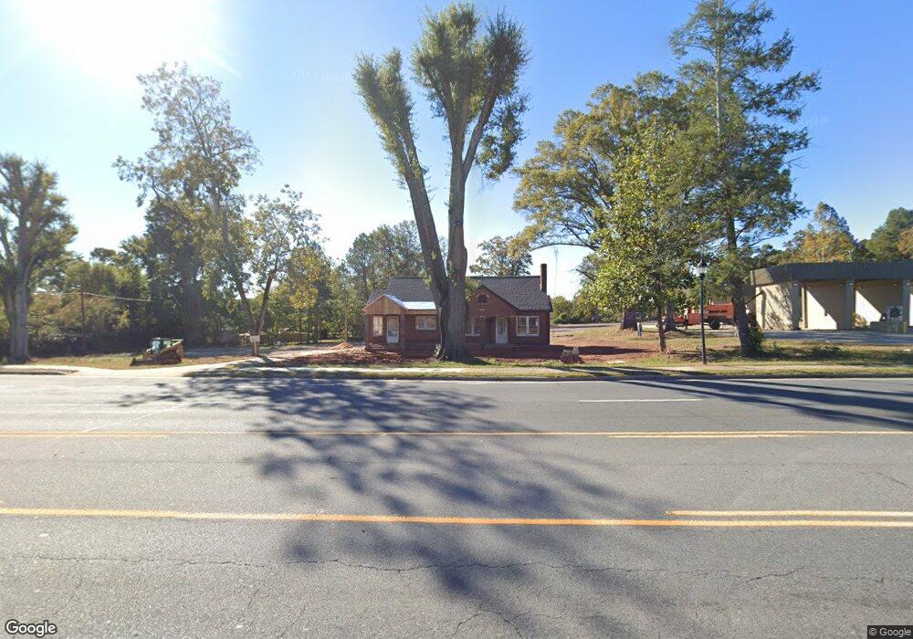
1101 Main St W Locust, NC 28097
Estimated Value: $322,000 - $357,000
2
Beds
1
Bath
1,300
Sq Ft
$265/Sq Ft
Est. Value
About This Home
This home is located at 1101 Main St W, Locust, NC 28097 and is currently estimated at $344,408, approximately $264 per square foot. 1101 Main St W is a home located in Stanly County with nearby schools including Locust Elementary School, West Stanly Middle School, and West Stanly High School.
Ownership History
Date
Name
Owned For
Owner Type
Purchase Details
Closed on
May 29, 2024
Sold by
Edmondson Tucker Lynn
Bought by
Starnes Commercial Properties Llc and Smith
Current Estimated Value
Purchase Details
Closed on
Jan 1, 2010
Bought by
Tucker Paul A
Purchase Details
Closed on
Jan 27, 2009
Sold by
Coble Herman P and Coble Elizabeth T
Bought by
Tucker Paul A
Create a Home Valuation Report for This Property
The Home Valuation Report is an in-depth analysis detailing your home's value as well as a comparison with similar homes in the area
Home Values in the Area
Average Home Value in this Area
Purchase History
| Date | Buyer | Sale Price | Title Company |
|---|---|---|---|
| Starnes Commercial Properties Llc | $350,000 | None Listed On Document | |
| Starnes Commercial Properties Llc | $350,000 | None Listed On Document | |
| Tucker Paul A | -- | -- | |
| Tucker Paul A | $40,000 | None Available |
Source: Public Records
Tax History Compared to Growth
Tax History
| Year | Tax Paid | Tax Assessment Tax Assessment Total Assessment is a certain percentage of the fair market value that is determined by local assessors to be the total taxable value of land and additions on the property. | Land | Improvement |
|---|---|---|---|---|
| 2025 | $2,901 | $315,300 | $315,300 | $0 |
| 2024 | $1,696 | $155,576 | $49,075 | $106,501 |
| 2023 | $1,816 | $155,576 | $49,075 | $106,501 |
| 2022 | $1,680 | $155,576 | $49,075 | $106,501 |
| 2021 | $1,785 | $155,576 | $49,075 | $106,501 |
| 2020 | $2,356 | $199,945 | $199,945 | $0 |
| 2019 | $2,379 | $199,945 | $199,945 | $0 |
| 2018 | $2,691 | $199,945 | $199,945 | $0 |
| 2017 | $2,259 | $199,945 | $199,945 | $0 |
| 2016 | $2,033 | $179,943 | $179,435 | $508 |
| 2015 | $2,125 | $179,943 | $179,435 | $508 |
| 2014 | $1,001 | $179,943 | $179,435 | $508 |
Source: Public Records
Map
Nearby Homes
- 211 Drive Inn Rd
- 110 Forest Dr
- 206 Montclair Dr
- 402 Church St
- 716 Saddlebred Ln
- 347 Carolina Hemlock Dr
- 421 Carolina Hemlock Dr
- 540 Church St
- 417 Kiser Ln
- 708 Redah Ave
- 146 Kerri Dawn Ln
- 219 Kerri Dawn Ln
- 174 Willow Creek Dr
- 000 N Renee Ford Rd
- 27 Berea Baptist Church Rd
- 230 Battery Dr
- 103 Berea Baptist Church Rd
- 105 Berea Baptist Church Rd
- 107 Cypress St
- 117 Danita Dr
- 1105 W Main St
- 1015 Main St W
- 1118 Main St W
- 109 Renee Ford Rd Unit 2,4,5
- 1010 Main St W Unit 1010
- 1205 Main St W
- 208 Renee Ford Rd
- 211 Renee Ford Rd
- 110 Meadow Creek Church Rd
- 103 Tucker St
- 0 Tbd West Main St
- 105 Tucker St
- 919 Main St W
- 108 Renee Ford Rd
- 1207 Main St W
- 1207 Main St W Unit and others
- 107 Tucker St
- 217 Renee Ford Rd
- 212 Renee Ford Rd
- 116 Meadow Creek Church Rd