1101 Monteagle Cir Apopka, FL 32712
Estimated Value: $315,000 - $355,630
3
Beds
2
Baths
1,626
Sq Ft
$205/Sq Ft
Est. Value
About This Home
This home is located at 1101 Monteagle Cir, Apopka, FL 32712 and is currently estimated at $333,158, approximately $204 per square foot. 1101 Monteagle Cir is a home located in Orange County with nearby schools including Apopka High School.
Ownership History
Date
Name
Owned For
Owner Type
Purchase Details
Closed on
Jul 25, 2002
Sold by
Glenn W Snyder M and Snyder M Brenda J
Bought by
Snyder Glenn W and Snyder Brenda J
Current Estimated Value
Home Financials for this Owner
Home Financials are based on the most recent Mortgage that was taken out on this home.
Original Mortgage
$12,500
Outstanding Balance
$5,282
Interest Rate
6.53%
Mortgage Type
Credit Line Revolving
Estimated Equity
$327,876
Create a Home Valuation Report for This Property
The Home Valuation Report is an in-depth analysis detailing your home's value as well as a comparison with similar homes in the area
Home Values in the Area
Average Home Value in this Area
Purchase History
| Date | Buyer | Sale Price | Title Company |
|---|---|---|---|
| Snyder Glenn W | -- | -- |
Source: Public Records
Mortgage History
| Date | Status | Borrower | Loan Amount |
|---|---|---|---|
| Open | Snyder Glenn W | $12,500 | |
| Open | Snyder Glenn W | $112,500 | |
| Closed | Snyder Glenn W | $112,500 |
Source: Public Records
Tax History Compared to Growth
Tax History
| Year | Tax Paid | Tax Assessment Tax Assessment Total Assessment is a certain percentage of the fair market value that is determined by local assessors to be the total taxable value of land and additions on the property. | Land | Improvement |
|---|---|---|---|---|
| 2025 | $1,520 | $122,404 | -- | -- |
| 2024 | $1,409 | $122,404 | -- | -- |
| 2023 | $1,409 | $115,489 | $0 | $0 |
| 2022 | $1,316 | $112,125 | $0 | $0 |
| 2021 | $1,502 | $108,859 | $0 | $0 |
| 2020 | $1,418 | $107,356 | $0 | $0 |
| 2019 | $1,444 | $104,942 | $0 | $0 |
| 2018 | $1,417 | $102,985 | $0 | $0 |
| 2017 | $1,377 | $156,094 | $35,000 | $121,094 |
| 2016 | $1,348 | $139,430 | $21,000 | $118,430 |
| 2015 | $1,366 | $133,196 | $21,000 | $112,196 |
| 2014 | $1,399 | $113,606 | $20,000 | $93,606 |
Source: Public Records
Map
Nearby Homes
- 1132 Bardwell Ct
- 4946 Pierce Arrow Dr
- 6220 Mount Plymouth Rd
- 6230 Stanwin Dr
- 626 Green Rock Ct
- 358 Prevo Dr
- 2045 W Kelly Park Rd
- 873 Gulf Land Dr
- 522 Sand Wedge Loop
- 2061 W Kelly Park Rd
- 328 Longhorn Dr
- 597 Sand Wedge Loop
- 2103 W Kelly Park Rd
- 1598 Spinfisher Dr
- 1158 Rock Creek St
- 6232 Sanson Dr
- 889 Rock Creek St
- 6309 Sanson Dr
- 236 Longhorn Dr
- 2659 Park Ridge St
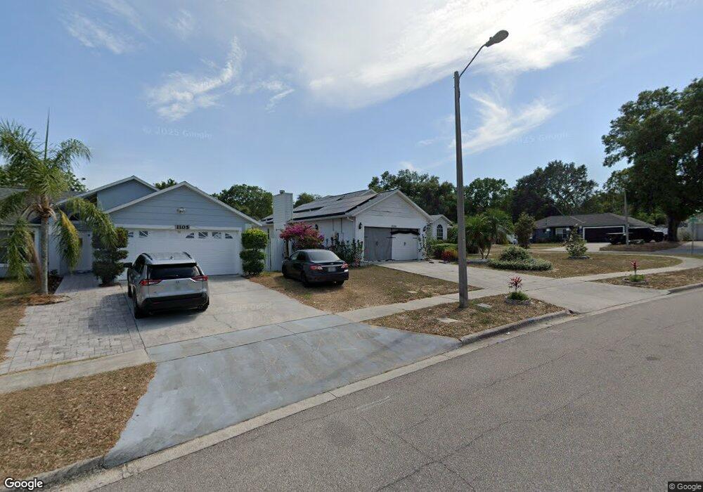
- 1105 Monteagle Cir
- 1145 Slayden Ct
- 1139 Slayden Ct
- 1109 Monteagle Cir
- 5248 Kati Lynn Dr
- 5248 Kati Lynn Dr Unit 3
- 5242 Kati Lynn Dr
- 5254 Kati Lynn Dr
- 1133 Slayden Ct
- 5236 Kati Lynn Dr
- 5236 Kati Lynn Dr Unit 3
- 5303 Holtland Dr
- 1113 Monteagle Cir Unit IV
- 5308 Holtland Dr
- 1127 Slayden Ct
- 5230 Kati Lynn Dr
- 5230 Kati Lynn Dr
- 5230 Kati Lynn Dr Unit 2
- 5301 Montford Place