Estimated Value: $293,000 - $311,000
3
Beds
2
Baths
1,617
Sq Ft
$187/Sq Ft
Est. Value
About This Home
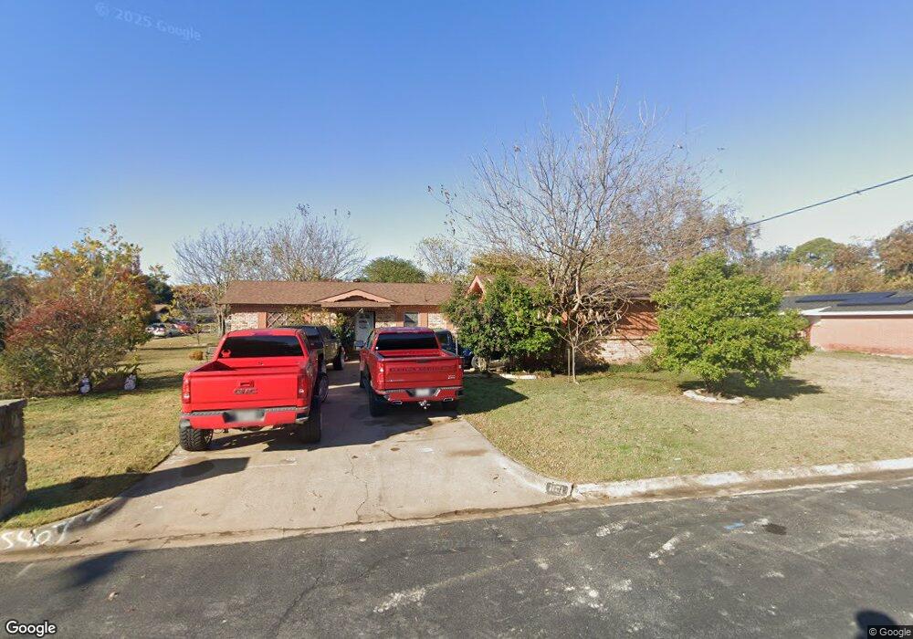
This home is located at 1101 Norwood Dr, Hurst, TX 76053 and is currently estimated at $302,554, approximately $187 per square foot. 1101 Norwood Dr is a home located in Tarrant County with nearby schools including Harrison Lane Elementary School, Hurst J High School, and L.D. Bell High School.
Ownership History
Date
Name
Owned For
Owner Type
Purchase Details
Closed on
Apr 2, 2002
Sold by
Dfw Total Investments Inc
Bought by
Martinez Francisco
Current Estimated Value
Home Financials for this Owner
Home Financials are based on the most recent Mortgage that was taken out on this home.
Original Mortgage
$104,500
Outstanding Balance
$43,227
Interest Rate
6.78%
Estimated Equity
$259,327
Purchase Details
Closed on
Oct 29, 2001
Sold by
Roberts Glen and Roberts Terri
Bought by
Dfw Total Investments Inc
Home Financials for this Owner
Home Financials are based on the most recent Mortgage that was taken out on this home.
Original Mortgage
$72,420
Interest Rate
6.77%
Purchase Details
Closed on
Jul 30, 2000
Sold by
Hibler Carolyn
Bought by
Roberts Glen
Create a Home Valuation Report for This Property
The Home Valuation Report is an in-depth analysis detailing your home's value as well as a comparison with similar homes in the area
Home Values in the Area
Average Home Value in this Area
Purchase History
| Date | Buyer | Sale Price | Title Company |
|---|---|---|---|
| Martinez Francisco | -- | American Title Co | |
| Dfw Total Investments Inc | -- | American Title Co | |
| Roberts Glen | -- | -- |
Source: Public Records
Mortgage History
| Date | Status | Borrower | Loan Amount |
|---|---|---|---|
| Open | Martinez Francisco | $104,500 | |
| Previous Owner | Dfw Total Investments Inc | $72,420 |
Source: Public Records
Tax History Compared to Growth
Tax History
| Year | Tax Paid | Tax Assessment Tax Assessment Total Assessment is a certain percentage of the fair market value that is determined by local assessors to be the total taxable value of land and additions on the property. | Land | Improvement |
|---|---|---|---|---|
| 2025 | $3,886 | $283,417 | $55,000 | $228,417 |
| 2024 | $3,886 | $283,417 | $55,000 | $228,417 |
| 2023 | $4,832 | $270,456 | $40,000 | $230,456 |
| 2022 | $5,048 | $238,403 | $40,000 | $198,403 |
| 2021 | $4,807 | $228,238 | $40,000 | $188,238 |
| 2020 | $4,359 | $181,196 | $40,000 | $141,196 |
| 2019 | $4,272 | $174,537 | $40,000 | $134,537 |
| 2018 | $4,132 | $168,813 | $19,000 | $149,813 |
| 2017 | $4,029 | $159,229 | $19,000 | $140,229 |
| 2016 | $3,774 | $149,158 | $19,000 | $130,158 |
| 2015 | $2,502 | $95,400 | $15,000 | $80,400 |
| 2014 | $2,502 | $95,400 | $15,000 | $80,400 |
Source: Public Records
Map
Nearby Homes
- 1136 Simpson Dr
- 1016 Keith Dr
- 905 Brown Trail
- 1220 Norwood Dr
- 802 Brown Trail
- 803 Glenda Dr
- 127 W Cedar St
- 409 Vicki Place
- 420 Bedford Ct W
- 341 Hurst Dr
- 400 Joanna Dr
- 344 Bedford Ct E
- 624 Harrison Ln
- 116 Oakhurst Dr
- 644 Caduceus Ln
- 849 Russell Ln
- 1337 Harrison Ln
- 1208 Karla Dr
- 1348 Norwood Dr
- 1008 Russell Ln
- 1105 Norwood Dr
- 1100 Simpson Dr
- 1104 Simpson Dr
- 101 W Cheryl Ave
- 105 W Cheryl Ave
- 1109 Norwood Dr
- 1100 Norwood Dr
- 1108 Simpson Dr
- 1104 Norwood Dr
- 100 E Cheryl Ave
- 1113 Norwood Dr
- 1108 Norwood Dr
- 1112 Simpson Dr
- 113 W Cheryl Ave
- 104 E Cheryl Ave
- 1101 Simpson Dr
- 1105 Simpson Dr
- 1101 Valley View Dr
- 1112 Norwood Dr
- 1117 Norwood Dr