1101 NW Peterson Rd Bentonville, AR 72713
Estimated Value: $201,000 - $791,000
--
Bed
1
Bath
2,420
Sq Ft
$206/Sq Ft
Est. Value
About This Home
This home is located at 1101 NW Peterson Rd, Bentonville, AR 72713 and is currently estimated at $498,700, approximately $206 per square foot. 1101 NW Peterson Rd is a home with nearby schools including Vaughn Elementary, Grimsley Junior High School, and Creekside Middle School.
Ownership History
Date
Name
Owned For
Owner Type
Purchase Details
Closed on
Jan 13, 2017
Sold by
Poole William and Poole Wendi
Bought by
Vick Joann Page and Vick Angela Paige
Current Estimated Value
Purchase Details
Closed on
Nov 30, 2016
Sold by
Dragon Shore Llc
Bought by
Poole William
Purchase Details
Closed on
Oct 20, 2015
Sold by
Poole Wendi
Bought by
Dragon Shoree Llc
Purchase Details
Closed on
May 15, 2014
Sold by
Dragon Shore Llc
Bought by
Poole Wendi
Purchase Details
Closed on
Dec 22, 2011
Bought by
Dragon Shore Llc
Create a Home Valuation Report for This Property
The Home Valuation Report is an in-depth analysis detailing your home's value as well as a comparison with similar homes in the area
Home Values in the Area
Average Home Value in this Area
Purchase History
| Date | Buyer | Sale Price | Title Company |
|---|---|---|---|
| Vick Joann Page | $253,000 | Waco Title Company | |
| Poole William | -- | None Available | |
| Dragon Shoree Llc | -- | Attorney | |
| Poole Wendi | -- | None Available | |
| Dragon Shore Llc | $65,000 | -- |
Source: Public Records
Tax History Compared to Growth
Tax History
| Year | Tax Paid | Tax Assessment Tax Assessment Total Assessment is a certain percentage of the fair market value that is determined by local assessors to be the total taxable value of land and additions on the property. | Land | Improvement |
|---|---|---|---|---|
| 2025 | $3,902 | $108,593 | $19,430 | $89,163 |
| 2024 | $3,718 | $108,593 | $19,430 | $89,163 |
| 2023 | $3,496 | $64,650 | $9,380 | $55,270 |
| 2022 | $3,064 | $64,650 | $9,380 | $55,270 |
| 2021 | $2,865 | $64,650 | $9,380 | $55,270 |
| 2020 | $2,712 | $48,840 | $6,700 | $42,140 |
| 2019 | $2,712 | $48,840 | $6,700 | $42,140 |
| 2018 | $2,737 | $48,840 | $6,700 | $42,140 |
| 2017 | $2,737 | $48,840 | $6,700 | $42,140 |
| 2016 | $2,994 | $48,840 | $6,700 | $42,140 |
| 2015 | $1,165 | $19,000 | $6,700 | $12,300 |
| 2014 | $883 | $14,400 | $2,100 | $12,300 |
Source: Public Records
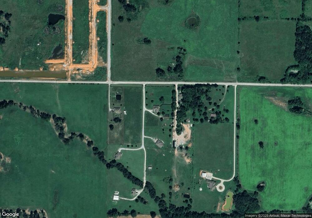
Map
Nearby Homes
- 0 True Rd Unit 1270044
- Tract 4 NW Peterson Rd
- Tract 5 NW Peterson Rd
- Lot 23 Tbd Peterson Rd
- 6002 NW Sherman St
- 1050 NW Daniels Rd
- 5908 NW Meade St
- 821 NW 63rd Ave
- 5900 NW Hancock St
- Lot 3 Tbd Peterson Rd
- 1072 Daniels Rd
- Lot 10 Tbd Peterson Rd
- Lot 4 Tbd Peterson Rd
- 5901 NW Silas St
- 9815 Digby Rd
- 6008 NW Meade St
- 5905 NW Ettie May St
- 812 NW 64th Ave
- 6007 NW Ettie May St
- 6507 NW Kathleen St
- 1043 NW Peterson Rd
- 1043 NW Peterson Rd
- 0 14419 Petersom Rd
- 14293 Peterson Rd
- 1105 NW Peterson Rd
- 1159 NW Peterson Rd
- 14305 Peterson Rd
- 14309 Peterson Rd
- 5109 NW True Rd
- 5109 NW True Rd
- 14313 Peterson Rd
- 949 NW Peterson Rd
- 0 W True Rd
- 1452 NW Peterson Rd
- 14478 Peterson Rd
- 1308 Peterson Rd
- 12 W Highway 12 Ln
- 9781 True Rd
- 1082 NW Pautsky Ave
- 1625 Pautsky Ln