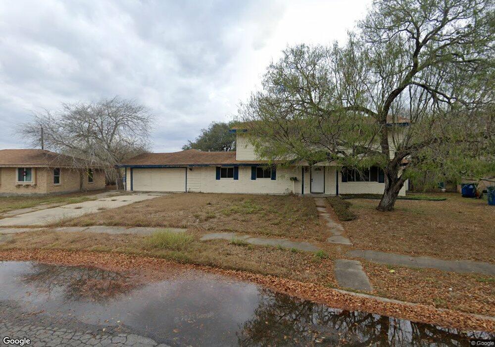
1101 Polaris St Portland, TX 78374
Estimated Value: $172,371 - $240,000
--
Bed
--
Bath
2,004
Sq Ft
$103/Sq Ft
Est. Value
About This Home
This home is located at 1101 Polaris St, Portland, TX 78374 and is currently estimated at $207,093, approximately $103 per square foot. 1101 Polaris St is a home located in San Patricio County with nearby schools including Clark Elementary School, Gregory-Portland Intermediate School, and Gregory-Portland Middle School.
Ownership History
Date
Name
Owned For
Owner Type
Purchase Details
Closed on
Jun 21, 2012
Sold by
United Stats Of America
Bought by
Osher Henry P
Current Estimated Value
Purchase Details
Closed on
Feb 24, 2012
Sold by
Jones Lori and Martinez Lori
Bought by
United States Of America
Purchase Details
Closed on
Jan 9, 2012
Sold by
Jones Peter
Bought by
United States Of America
Purchase Details
Closed on
Jan 29, 2008
Sold by
Martinez Susana and Martinez Natividad Fabian
Bought by
Jones Lori and Jones Peter
Purchase Details
Closed on
Oct 12, 2006
Sold by
Beecher William C and Beecher Margie
Bought by
Martinez Lori and Martinez Susana
Create a Home Valuation Report for This Property
The Home Valuation Report is an in-depth analysis detailing your home's value as well as a comparison with similar homes in the area
Home Values in the Area
Average Home Value in this Area
Purchase History
| Date | Buyer | Sale Price | Title Company |
|---|---|---|---|
| Osher Henry P | -- | Fft | |
| United States Of America | -- | First Fidelity Title Company | |
| United States Of America | -- | First Fidelity Title Company | |
| Jones Lori | -- | None Available | |
| Martinez Lori | -- | First American Title Ins Co |
Source: Public Records
Tax History Compared to Growth
Tax History
| Year | Tax Paid | Tax Assessment Tax Assessment Total Assessment is a certain percentage of the fair market value that is determined by local assessors to be the total taxable value of land and additions on the property. | Land | Improvement |
|---|---|---|---|---|
| 2025 | $2,847 | $121,236 | $41,536 | $79,700 |
| 2023 | $2,847 | $204,118 | $40,480 | $163,638 |
| 2022 | $4,822 | $203,486 | $40,480 | $163,006 |
| 2021 | $3,699 | $152,813 | $46,816 | $105,997 |
| 2020 | $3,565 | $147,302 | $35,992 | $111,310 |
| 2019 | $3,755 | $145,241 | $35,992 | $109,249 |
| 2017 | $3,499 | $141,848 | $35,992 | $105,856 |
| 2016 | $3,465 | $140,500 | $35,992 | $104,508 |
| 2015 | $2,359 | $140,500 | $13,205 | $127,295 |
| 2013 | $2,359 | $94,235 | $16,010 | $78,225 |
Source: Public Records
Map
Nearby Homes
- 1123 Orion Dr
- 1115 Orion Dr
- 1026 Northcliff Dr
- 1000 Bluff Dr
- 1002 Diomede St
- 1145 Ochoa St
- 1212 Starlite Dr
- 1331 Bayview Dr
- 1014 Espana Dr
- 1461 Moore Ave Unit 6
- 830 Cliff Dr Unit 18
- 830 Cliff Dr Unit 13
- 1410 Moore Ave
- 863 Cliff Dr
- 923 Moore Ave
- 1603 Cheyenne St
- 1011 W Broadway Ave
- 1612 Memorial Pkwy
- 1611 Crosby St
- 113 Rice Dr
- 1099 Polaris St
- 1012 Starlite Dr
- 1014 Starlite Dr
- 1103 Polaris St
- 1010 Starlite Dr
- 1102 Polaris Dr
- 1016 Starlite Dr
- 1105 Polaris St
- 1102 Polaris St
- 1104 Polaris St
- 1008 Starlite Dr
- 1008 Starlite Dr
- 1006 Starlite Dr
- 1107 Polaris St
- 1106 Polaris St
- 1020 Starlite Dr
- 1098 Polaris St
- 1112 Westcliff Dr
- 1004 Starlite Dr