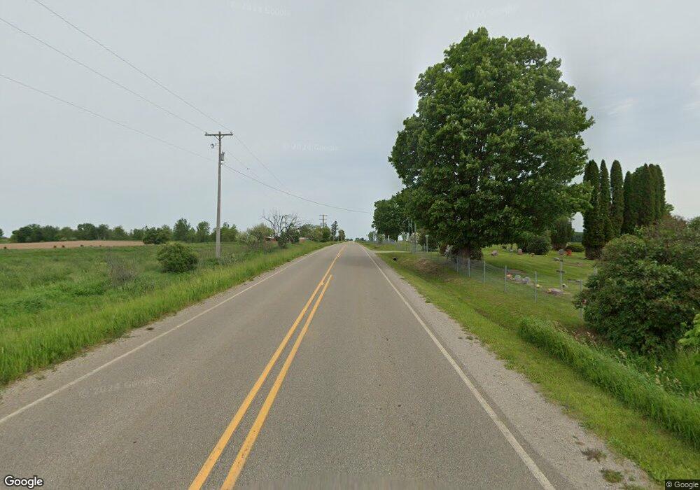
1101 Reed Rd Sterling, MI 48659
Estimated Value: $94,962 - $151,000
--
Bed
--
Bath
--
Sq Ft
1.09
Acres
About This Home
This home is located at 1101 Reed Rd, Sterling, MI 48659 and is currently estimated at $132,991. 1101 Reed Rd is a home with nearby schools including Standish-Sterling Central High School.
Ownership History
Date
Name
Owned For
Owner Type
Purchase Details
Closed on
Mar 21, 2016
Sold by
Mcbride Charles G and Mcbride Kathleen A
Bought by
Charles G Mcbride Revocable Trust and Kathleen A Mcbride Revocable Trust
Current Estimated Value
Purchase Details
Closed on
Sep 25, 2012
Sold by
Secretary Of Housing And Urban Developme
Bought by
Mcbride Charles G and Mcbride Kathleen A
Purchase Details
Closed on
Jan 25, 2012
Sold by
Midfirst Bank
Bought by
Secretary Of Housing And Urban Developme
Purchase Details
Closed on
Jul 22, 2010
Sold by
Badour Michael John
Bought by
Midfirst Bank
Create a Home Valuation Report for This Property
The Home Valuation Report is an in-depth analysis detailing your home's value as well as a comparison with similar homes in the area
Home Values in the Area
Average Home Value in this Area
Purchase History
| Date | Buyer | Sale Price | Title Company |
|---|---|---|---|
| Charles G Mcbride Revocable Trust | -- | None Available | |
| Mcbride Charles G | $22,500 | -- | |
| Secretary Of Housing And Urban Developme | -- | -- | |
| Midfirst Bank | $71,673 | -- |
Source: Public Records
Tax History Compared to Growth
Tax History
| Year | Tax Paid | Tax Assessment Tax Assessment Total Assessment is a certain percentage of the fair market value that is determined by local assessors to be the total taxable value of land and additions on the property. | Land | Improvement |
|---|---|---|---|---|
| 2025 | $1,294 | $38,400 | $0 | $0 |
| 2024 | $255 | $44,000 | $0 | $0 |
| 2023 | $244 | $33,800 | $0 | $0 |
| 2022 | $1,216 | $32,600 | $0 | $0 |
| 2021 | $1,158 | $37,300 | $0 | $0 |
| 2020 | $1,139 | $27,500 | $0 | $0 |
| 2019 | $1,054 | $31,900 | $0 | $0 |
| 2018 | $1,042 | $21,400 | $0 | $0 |
| 2017 | $1,019 | $19,300 | $0 | $0 |
| 2016 | $971 | $18,400 | $0 | $0 |
| 2015 | $218 | $18,200 | $0 | $0 |
| 2014 | $218 | $21,300 | $0 | $0 |
| 2013 | -- | $21,300 | $0 | $0 |
Source: Public Records
Map
Nearby Homes
- 1339 S Melita Rd
- 358 Washington St
- 201 E Main St
- 115 Washington St
- NKA Ellison Rd
- 428 Pinnacle Ct
- 4281 Franklin Trail
- NKA Pinnacle Dr Unit 94
- 5597 Groszek Rd
- 4049 Miller Rd
- 1590 Grove Rd
- 5477 S Townline Rd
- VL Pineview Ct
- Lot 99 Wilderness Rd
- Lot 98 Wilderness Rd
- NKA Husak Rd
- 0 Buffalo Trail Unit 37-38
- 0 Buffalo Trail Unit 36
- 0 Buffalo Trail Unit 50188641
- 0 Buffalo Trail Unit 1938672
- 1101 S M-70
- 1109 S Melita Rd
- 1124 S Melita Rd
- 1049 S Melita Rd
- 1184 S Melita Rd
- 5467 Stewart Rd
- 5443 Stewart Rd
- 5443 Stewart Rd
- 5440 Kocot Rd
- 5440 Kocot Rd
- 5440 Kocot Rd
- 1244 S Melita Rd
- 5387 Stewart Rd
- 5387 Stewart Rd
- 975 S Melita Rd
- 950 S Melita Rd
- 5324 Kocot Rd
- 5286 Stewart Rd
- 5286 Stewart Rd
- 5286 Stewart Rd
