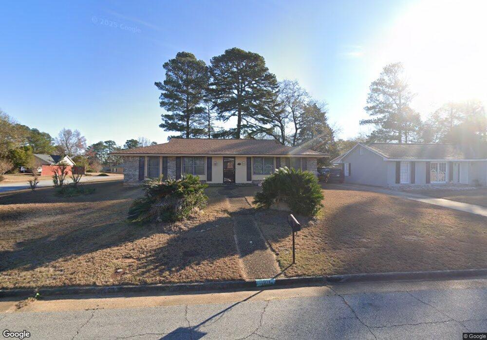
1101 Rowell St Columbus, GA 31907
South Columbus NeighborhoodEstimated Value: $120,000 - $175,000
3
Beds
3
Baths
1,564
Sq Ft
$91/Sq Ft
Est. Value
About This Home
This home is located at 1101 Rowell St, Columbus, GA 31907 and is currently estimated at $142,236, approximately $90 per square foot. 1101 Rowell St is a home located in Muscogee County with nearby schools including Eddy Middle School, Spencer High School, and Pinehurst Christian School.
Ownership History
Date
Name
Owned For
Owner Type
Purchase Details
Closed on
Jun 13, 2014
Sold by
Citifinancial Servicing Ll
Bought by
Robertson Elaine J
Current Estimated Value
Home Financials for this Owner
Home Financials are based on the most recent Mortgage that was taken out on this home.
Original Mortgage
$56,000
Outstanding Balance
$42,643
Interest Rate
4.23%
Mortgage Type
New Conventional
Estimated Equity
$99,593
Purchase Details
Closed on
Oct 30, 2013
Sold by
Williams Anderson
Bought by
Citifinancial Servicing Llc
Create a Home Valuation Report for This Property
The Home Valuation Report is an in-depth analysis detailing your home's value as well as a comparison with similar homes in the area
Home Values in the Area
Average Home Value in this Area
Purchase History
| Date | Buyer | Sale Price | Title Company |
|---|---|---|---|
| Robertson Elaine J | $70,000 | -- | |
| Citifinancial Servicing Llc | $130,684 | -- |
Source: Public Records
Mortgage History
| Date | Status | Borrower | Loan Amount |
|---|---|---|---|
| Open | Robertson Elaine J | $56,000 |
Source: Public Records
Tax History
| Year | Tax Paid | Tax Assessment Tax Assessment Total Assessment is a certain percentage of the fair market value that is determined by local assessors to be the total taxable value of land and additions on the property. | Land | Improvement |
|---|---|---|---|---|
| 2025 | $1,815 | $46,364 | $9,592 | $36,772 |
| 2024 | $1,815 | $46,364 | $9,592 | $36,772 |
| 2023 | $1,826 | $46,364 | $9,592 | $36,772 |
| 2022 | $1,444 | $35,364 | $9,592 | $25,772 |
| 2021 | $1,398 | $34,236 | $9,592 | $24,644 |
| 2020 | $1,398 | $34,236 | $9,592 | $24,644 |
| 2019 | $1,403 | $34,236 | $9,592 | $24,644 |
| 2018 | $1,403 | $34,236 | $9,592 | $24,644 |
| 2017 | $1,407 | $34,236 | $9,592 | $24,644 |
| 2016 | $1,155 | $28,000 | $4,680 | $23,320 |
| 2015 | $1,156 | $28,000 | $4,680 | $23,320 |
| 2014 | $1,603 | $38,756 | $4,680 | $34,076 |
| 2013 | -- | $38,756 | $4,680 | $34,076 |
Source: Public Records
Map
Nearby Homes
- 4718 Velpoe Dr
- 4697 Old Cusseta Rd
- 1123 Antietam Ct
- 1120 Antietam Ct
- 1108 Antietam Ct
- 1513 Buford Ave
- 4422 Debolt Ct
- 1106 Antietam Ct
- 718 Wedron Dr
- 1104 Antietam Ct
- 4408 Ridgefield Dr
- 4939 Aaron Dr
- 538 Lakefront Dr
- 849 Bunker Hill Rd
- 4512 Lunsford St
- 1234 Hanover Ave
- 1517 Winshire St
- 4742 Toney Dr
- 5210 Verdun Ct
- 1238 Brandywine Dr
- 1107 Rowell St
- 4760 Staunton Dr
- 1025 Rowell St
- 1113 Rowell St
- 1108 Bel Mar St
- 1102 Rowell St
- 1026 Bel Mar St
- 1114 Bel Mar St
- 1110 Rowell St
- 1119 Rowell St
- 1017 Rowell St
- 1026 Rowell St
- 1018 Bel Mar St
- 1120 Bel Mar St
- 1116 Rowell St
- 1018 Belmar St
- 1120 Belmar St
- 1201 Rowell St
- 1018 Rowell St
- 1116 Staunton Dr
Your Personal Tour Guide
Ask me questions while you tour the home.